Near Conway in Horry County, South Carolina — The American South (South Atlantic)
Grier’s/Cox’s Ferry
Photographed by J. J. Prats
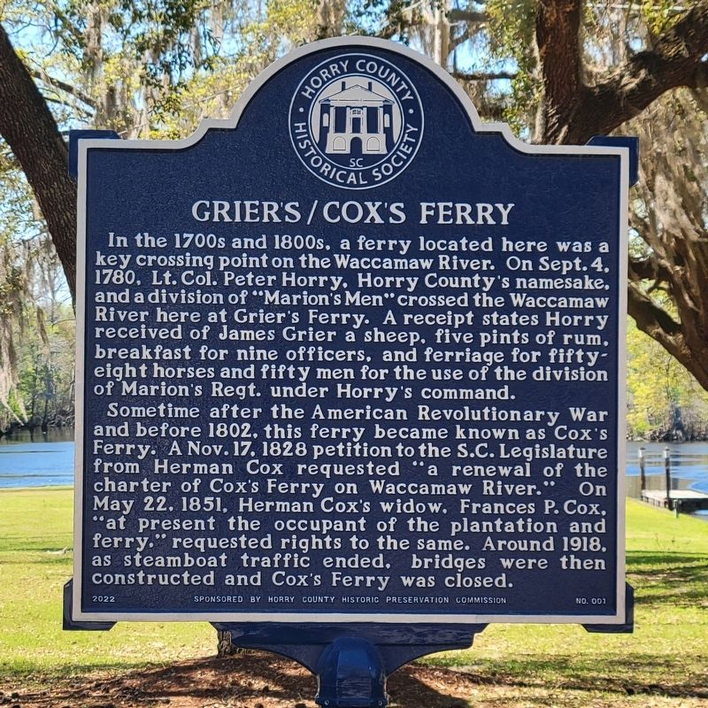
1. Grier’s/Cox’s Ferry Marker
Sometime after the American Revolutionary War and before 1802, this ferry became known as Cox’s Ferry. A Nov. 17, 1828 petition to the S.C. Legislature from Herman Cox requested “a renewal of the charter of Cox's Ferry on Waccamaw River.” On May 22, 1851, Herman Cox’s widow, Frances P. Cox, “at present the occupant of the plantation and ferry,” requested rights to the same. Around 1918, as steamboat traffic ended, bridges were then constructed and Cox’s Ferry was closed.
Erected 2022 by Horry County Historic Preservation Commission. (Marker Number 1.)
Topics. This historical marker is listed in these topic lists: War, US Revolutionary
this page online
Location. 33° 47.638′ N, 79° 2.965′ W. Marker is near Conway, South Carolina, in Horry County. It is at the intersection of Cox Ferry Circle and West Cox Ferry Road, on the right when traveling north on Cox Ferry Circle. It is at the end of Cox Ferry Road. Bear left at the fork to stay on Cox Ferry Road. Touch for map. Marker is at or near this postal address: 1403 W Cox Ferry Rd, Conway SC 29526, United States of America. Touch for directions.

Regionally, this marker is in the Pee Dee. It is also in the American South, specifically in the Deep South, and on the Eastern Seaboard. Globally, it is in the North Atlantic Region, North America, the Western Hemisphere, the Western World, and the Anglosphere. Historically, it finds itself in what was once the territory of the Mississippian Culture, one of the original Thirteen Colonies, one of the Confederate States of America, and the Antebellum South.
Other nearby markers. At least 8 other markers are within 3 miles of this marker, measured as the crow flies: Coastal Carolina University (approx. 2.2 miles
Photographed by J. J. Prats
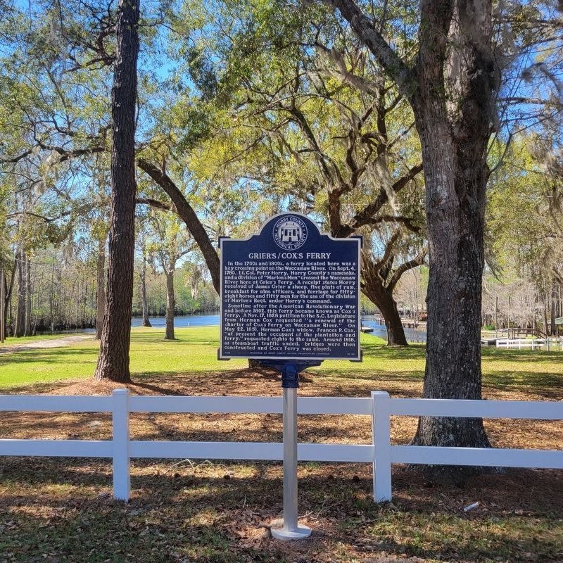
2. Grier’s/Cox’s Ferry Marker
Photographed by J. J. Prats
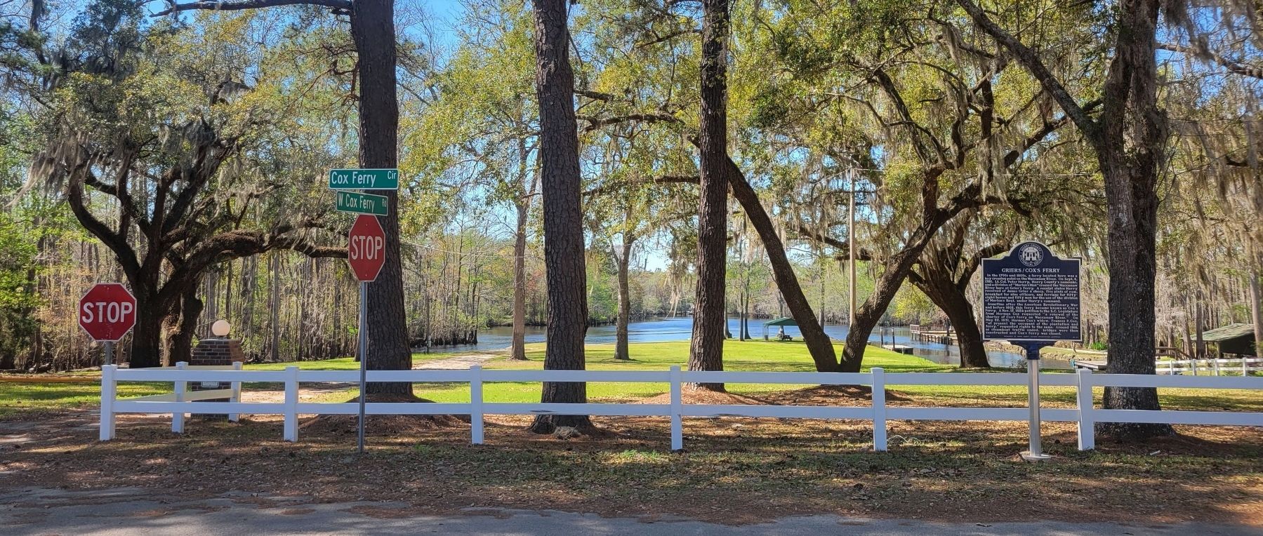
3. Grier’s/Cox’s Ferry Marker
The space behind the white fence is private property. But to the left out of frame is the access road for the Cox Ferry Lake Recreational Area, with parking, rest rooms, a picnic pavilion, boat launch, and views of the river.
Photographed by Robert Hawkins, April 28, 2024
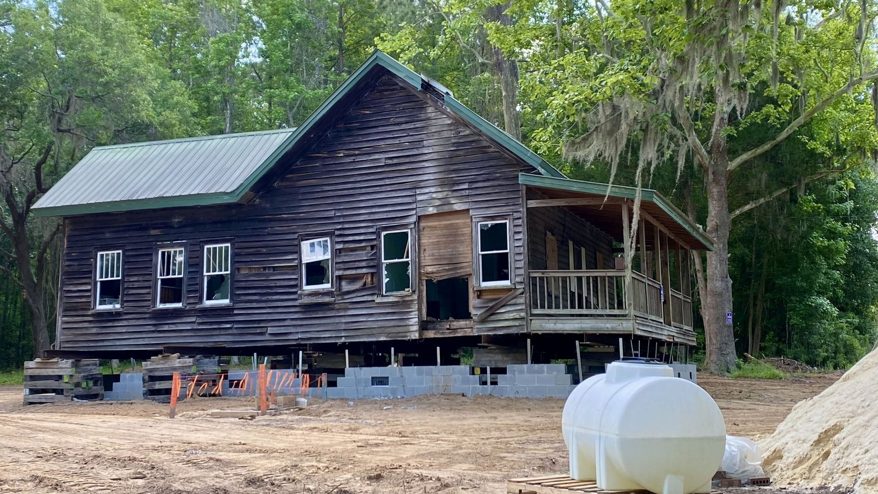
4. Ferryman’s house under restoration
Directly across from the Historical Marker stands the “Ferryman’s House”, one of the oldest wood structured homes in Horry County. Privately owned, it is currently undergoing a full restoration.
Photographed by Robert Hawkins, September 10, 2017
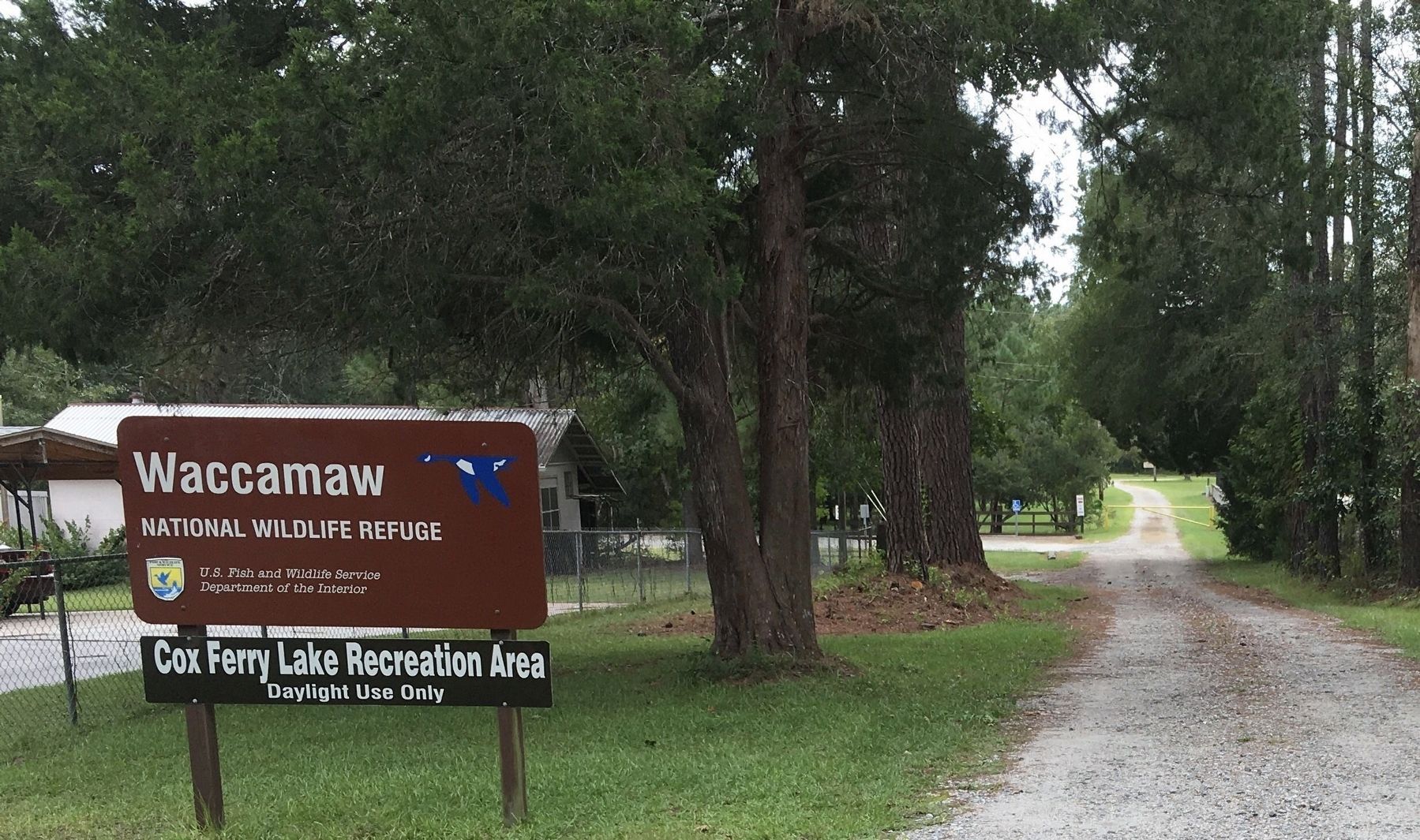
5. Cox Ferry Lake Recreation Area, Cox Ferry Rd. entrance
At the corner of Cox Ferry Rd. & Cox Ferry Circle, immediately South of the marker, is an entrance to the Cox Ferry Lake Recreation Area, a part of the Waccamaw River Wildlife Refuge.
The Cox Ferry Lake Recreation Area is a 325-acre property located on Grey Lake Boulevard, in Conway, South Carolina. It offers the public three miles of interpretive nature trails, a mountain biking trail, boardwalk, kiosks and a weather shelter with picnic tables. The Cox Ferry Rd entrance gives access to trails, a Kayak & Canoe launch, picnic shelter, & modern fishing pier. Further information can be found at: https://www.sctrails.net/trails/trail/cox-ferry-lake-recreation-area
Credits. This page was last revised on April 25, 2025. It was originally submitted on March 26, 2025. This page has been viewed 339 times since then and 92 times this year. Last updated on March 31, 2025. Photos: 1, 2, 3. submitted on March 26, 2025, by J. J. Prats of Powell, Ohio. 4, 5. submitted on April 20, 2025, by Robert Hawkins of Conway, South Carolina. • Bernard Fisher was the editor who published this page.
