Archer City in Archer County, Texas — The American South (West South Central)
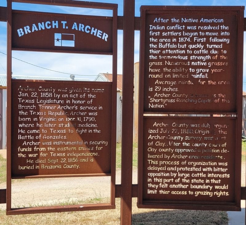
Branch T. Archer
Photographed by James Hulse, March 23, 2025
1. Branch T. Archer Marker - First Set of Panels
Archer was instrumental in securing funds from the eastern states for the war for Texas independence.
He died Sept. 22, 1856 and is buried in Brazoria County.
After the Native American Indian conflict was resolved the first settlers began to move into the area in 1874. First following the Buffalo but quickly turned thier attention to cattle due to the tremendous strength of the grass. Numerous native grasses have the ability to grow year-round on limited rainfall.
Average rainfall for the area is 29 inches.
Archer County is known as the “Shortgrass Ranching Capital of the Nation."
Archer County was duly organized July 27, 1880. Originally the Archer County survey was part of Clay. After the county court of Clay county approved a petition delivered by Archer area residents. This process of organization was delayed and protested
this page online
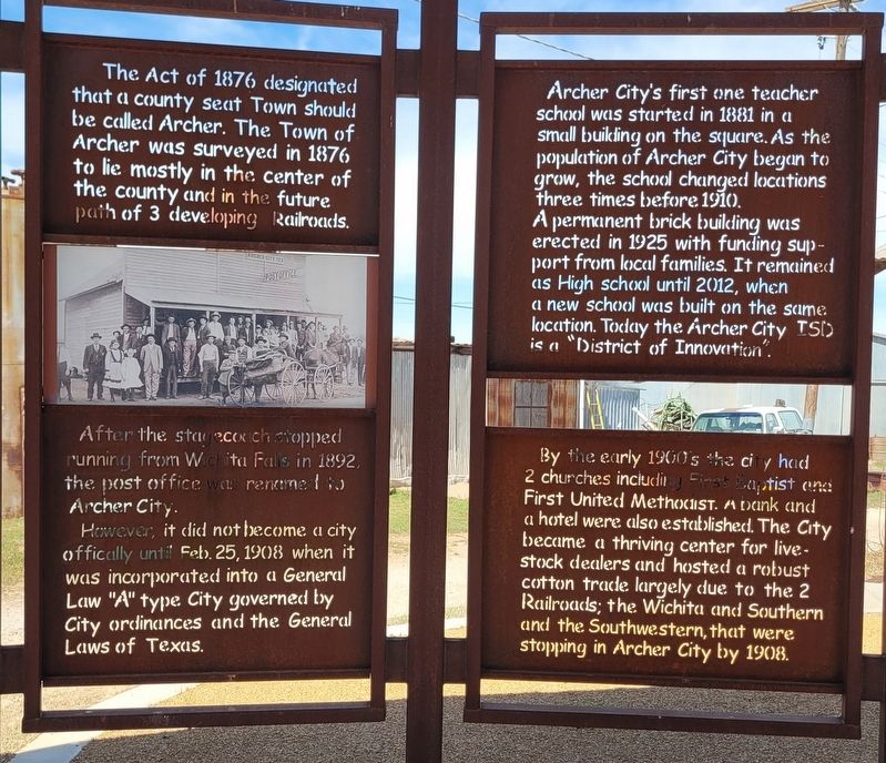
The Act of 1876 designated that a county seat Town should be called Archer. The Town of Archer was surveyed in 1876 to lie mostly in the center of the county and in the future path of 3 developing Railroads.
After the stagecoach stopped running from Wichita Falls in 1892, the post office was renamed to Archer City.
However, it did not become a city officially until Feb. 25, 1908 when it was incorporated into a General Law "A" type City governed by City ordinances and the General Laws of Texas.
Archer City's first one teacher school was started in 1881 in a small building on the square. As the population of Archer City began to grow, the school changed locations three times before 1910.
A permanent brick building was erected in 1925 with funding support from local families. It remained as High school until 2012, when a new school was built on the same location. Today the Archer City ISD is a "District of Innovation".
By the early 1900's the city had 2 churches including
Photographed by James Hulse, March 23, 2025
2. Branch T. Archer Marker - Second Set of Panels
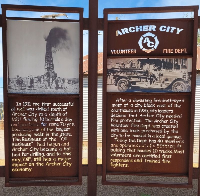
In 1911 the first successful oil well was drilled south of Archer City to a depth of 920 flowing 10 barrels a day and produced for some 70 yrs. becoming one of the longest producing wells in the state. The Business of the "Oil Business" had begun and Archer City became a hot-bed for drilling, and to this day, "Oil", still has a major impact on the Archer City economy.
Archer City Volunteer Fire Dept.
After a devasting fire destroyed most of a city block east of the courthouse in 1925, city leaders decided that Archer City needed fire protection. The Archer City Volunteer Fire Dept. was created with one truck purchased by the city to be housed in a local garage.
Today the Dept. has 40 members and operates out of a 5000 sq. ft. building that houses 10 trucks. Most volunteers are certified first responders and trained fire fighters.
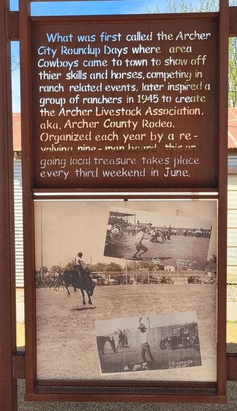
What
Photographed by James Hulse, March 23, 2025
3. Branch T. Archer Marker - Third Set of Panels
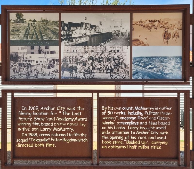
In 1969, Archer City was the filming location for "The Last Picture Show "and Academy Award winning film, based on the novel by native son, Larry McMurtry.
In 1988, crews returned to film the sequel, "Texasville". Peter Bogdanovich directed both films.
By his own count, McMurtry is author of 50 works, including Pulitzer Prize-winning "Lonesome Dove" and Oscar-winning screenplays and films based on his books. Larry brought world wide attention to Archer City with the opening of his rare and used book store, "Booked Up', carrying an estimated half million titles.
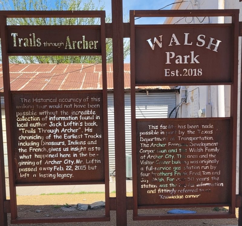
Trails through Archer
The Historical accuracy of this walking tour would not have been possible without the incredible collection of information found in local author Jack Loftin's book,
Photographed by James Hulse, March 23, 2025
4. Branch T. Archer Marker - Fourth Set of Panels
This facility has been made possible in part by the Texas Department of Transportation. The Archer Economic Development Corporation and the Walsh Family of Archer City. This area and the Visitor Center building was originally a full-service gas station run by four brothers Frank, Fred, Tom and Jay Walsh. For over 50 years the station was the hub for information and fittingly referred to as "Knowledge corner".
Erected 2018 by Texas Department of Transportation. The Archer Economic Development Corporation and the Walsh Family.
Topics. This historical marker is listed in these topic lists: Industry & Commerce • Parks & Recreational Areas • Railroads & Streetcars • Settlements & Settlers. A significant historical date for this entry is January 22, 1858.
Location. 33° 35.754′ N, 98° 37.572′ W. Marker is in Archer City, Texas, in Archer County. It is at the intersection of East Main Street (State Road 25) and N Center St (State Road 79), on the right when traveling west on East Main Street. The marker is located at Walsh Park. Touch for map. Marker is at or near this postal address: 103 S Center Street, Archer City TX 76351, United States of America. Touch for directions.

Regionally, this marker is in Big Country. Globally, it is in North America, a Gulf of Mexico state, the Western Hemisphere, the Western World, and the Anglosphere. Historically, it finds itself in what was once New Spain, the Republic of Texas, and one of the Confederate States of America.
Other nearby markers. At least 8 other markers are within 6 miles of this marker, measured as the crow
Photographed by James Hulse, March 23, 2025
5. Branch T. Archer Marker - Fifth Set of Panels
Photographed by James Hulse, March 23, 2025
6. Branch T. Archer Marker - Sixth Set of Panels
Photographed by James Hulse, March 23, 2025
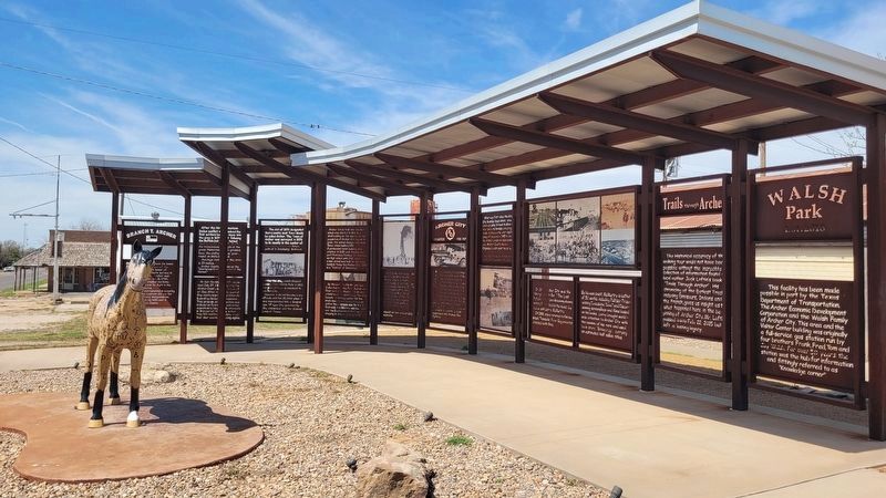
7. The view of the Branch T. Archer Marker from the park
Credits. This page was last revised on April 2, 2025. It was originally submitted on April 2, 2025, by James Hulse of Medina, Texas. This page has been viewed 294 times since then and 73 times this year. Photos: 1, 2, 3, 4, 5, 6, 7. submitted on April 2, 2025, by James Hulse of Medina, Texas.
