Charleston in Kanawha County, West Virginia — The American South (Appalachia)
The 35th Star
West Virginia Statehood
Photographed by Mike Stroud, May 18, 2011
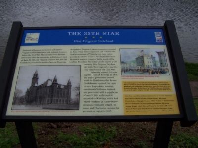
1. The 35th Star Marker
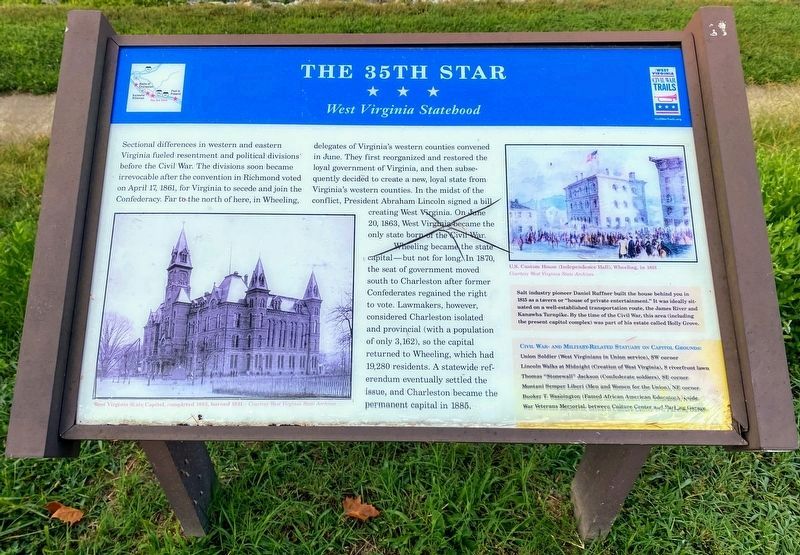
Sectional differences in western and eastern Virginia fueled resentment and political divisions before the Civil War. The divisions soon became irrevocable after the convention in Richmond voted on April 17, 1861, for Virginia to secede and join the Confederacy. Far to the north of here, Wheeling, delegates of Virginia's western counties convened in June. They first reorganized and restored the loyal government of Virginia, and then subsequently decided to create a new, loyal state from Virginia's western counties. In the midst of the conflict, President Abraham Lincoln signed a bill creating West Virginia. On June 20, 1863, West Virginia became the only state born of the Civil War.
Wheeling became the state capitol - but not for long. In 1870, the seat of government moved south to Charleston after former Confederates regained the right to vote. Lawmakers, however, considered Charleston isolated and provincial (with a population of only 3,162), so the capitol returned to Wheeling, which had 19,280 residents. A statewide referendum eventually settled the issue, and Charleston became the permanent capital in 1885.
Salt
this page online
Civil War- and Military-Related Statuary on Capitol Grounds;
• Union Soldier (West Virginians in Union service), SW corner
• Lincoln Walks at Midnight (Creation of West Virginia),S riverfront lawn
• Thomas "Stonewall" Jackson (Confederate soldiers),SE corner
• Montani Semper Liberi (Men and Women of the Union), NE corner
• Booker T. Washington (Famed African American Educator), N side
• War Veterans Memorial, between Culture Center and parking garage
Erected by West Virginia Civil War Trails.
Topics and series. This historical marker is listed in this topic list: Notable Events. In addition, it is included in the West Virginia Civil War Trails series list. A significant historical month for this entry is April 1825.
Location. 38° 20.175′ N, 81° 36.975′ W. Marker is in Charleston,
Photographed by Shane Oliver, August 8, 2021
2. The 35th Star Marker
Marker has been damaged, but is still readable.

Regionally, this marker is in the American South, specifically in the Upper South, in Appalachia, and specifically in Southern Appalachia. Globally, it is in North America, the Western Hemisphere, the Western World, and the Anglosphere. Historically, it finds itself in what was once the territory of the Mississippian Culture.
Other nearby markers. At least 8 other markers are within walking distance of this marker: State Capitol (within shouting distance of this marker); Executive Mansion (about 300 feet away, measured in a direct line); 45th US Colored Infantry (about 500 feet away); Union Civil War Monument (about 700 feet away); The Restoration Chestnut (about 700 feet away); Slavery in West Virginia (about 800 feet away); Limestone • Sandstone • Silica (approx. 0.2 miles away); Coal (approx. 0.2 miles away). Touch for a list and map of all markers in Charleston.
Photographed by Mike Stroud, May 18, 2011
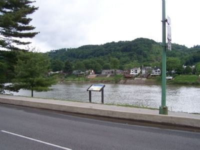
3. The 35th Star Marker, seen along Kanawha Blvd. E.
Photographed by Mike Stroud, May 18, 2011
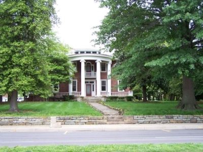
4. Holly Grove, as mentioned,
Salt industry pioneer Daniel Ruffner built the house
in 1815 as a tavern or "house of private entertainment."
Credits. This page was last revised on April 8, 2025. It was originally submitted on May 31, 2011, by Mike Stroud of Bluffton, South Carolina. This page has been viewed 1,152 times since then and 33 times this year. Last updated on April 2, 2025, by Mark P. Brock-Cancellieri of Baltimore, Maryland. Photos: 1. submitted on June 1, 2011, by Mike Stroud of Bluffton, South Carolina. 2. submitted on August 12, 2021, by Shane Oliver of Richmond, Virginia. 3, 4. submitted on May 31, 2011, by Mike Stroud of Bluffton, South Carolina. • Devry Becker Jones was the editor who published this page.
