12 South in Nashville in Davidson County, Tennessee — The American South (East South Central)
Sunnyside
Photographed by Darren Jefferson Clay, April 4, 2025
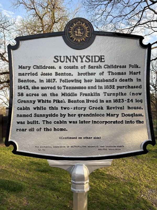
1. Sunnyside Marker
Mary Childress, a cousin of Sarah Childress Polk, married Jesse Benton, brother of Thomas Hart Benton, in 1817. Following her husband's death in 1843, she moved to Tennessee and in 1852 purchased 38 acres on the Middle Franklin Turnpike (now Granny White Pike). Benton lived in an 1823-24 log cabin while this two-story Greek Revival house, named Sunnyside by her grandniece Mary Douglass, was built. The cabin was later incorporated into the rear ell of the home.
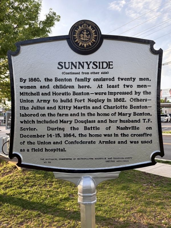
By 1860, the Benton family enslaved twenty men, women and children here. At least two men-Mitchell and Horatio Benton-were impressed by the Union Army to build Fort Negley in 1862. Others-like Julius and Kitty Martin and Charlotte Benton-labored on the farm and in the home of Mary Benton, which included Mary Douglass and her husband T.F. Sevier. During the Battle of Nashville on December 14-15, 1864, the home was in the crossfire of the Union and Confederate Armies and was used as a field hospital.
Erected 2024 by The Historical Commission of Metropolitan Nashville and Davidson County. (Marker Number 118.)
Topics. This historical marker is listed
this page online
Location. 36° 7.233′ N, 86° 47.414′ W. Marker is in Nashville, Tennessee, in Davidson County. It is in 12 South. It is at the intersection of Kirkwood Avenue and 12th Ave S, on the right when traveling east on Kirkwood Avenue. Touch for map. Marker is at or near this postal address: 1108 Kirkwood Ave, Nashville TN 37204, United States of America. Touch for directions.

Regionally, this marker is in Middle Tennessee. It is also in the American South and specifically in the Upper South. Globally, it is in North America, the Western Hemisphere, the Western World, and the Anglosphere. Historically, it finds itself in what was once the territory of the Mississippian Culture, one of the Confederate States of America, and the Antebellum South.
Other nearby markers. At least 8 other markers are within walking distance of this marker: A different marker also named Sunnyside (about 400 feet away, measured in a direct line); Early History (about 400 feet away); Enslaved People at Sunnyside (about
Photographed by Darren Jefferson Clay, April 4, 2025
2. Sunnyside Marker
Photographed by Darren Jefferson Clay, April 4, 2025
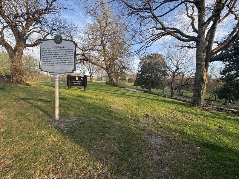
3. Sunnyside Marker
Credits. This page was last revised on July 20, 2025. It was originally submitted on April 4, 2025, by Darren Jefferson Clay of Duluth, Georgia. This page has been viewed 242 times since then and 38 times this year. Photos: 1, 2, 3. submitted on April 5, 2025, by Darren Jefferson Clay of Duluth, Georgia. • James Hulse was the editor who published this page.
