Dublin's Docklands in County Dublin, Leinster, Ireland — Mid-East (and Dublin)
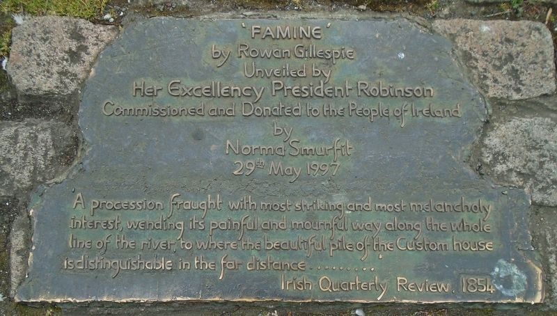
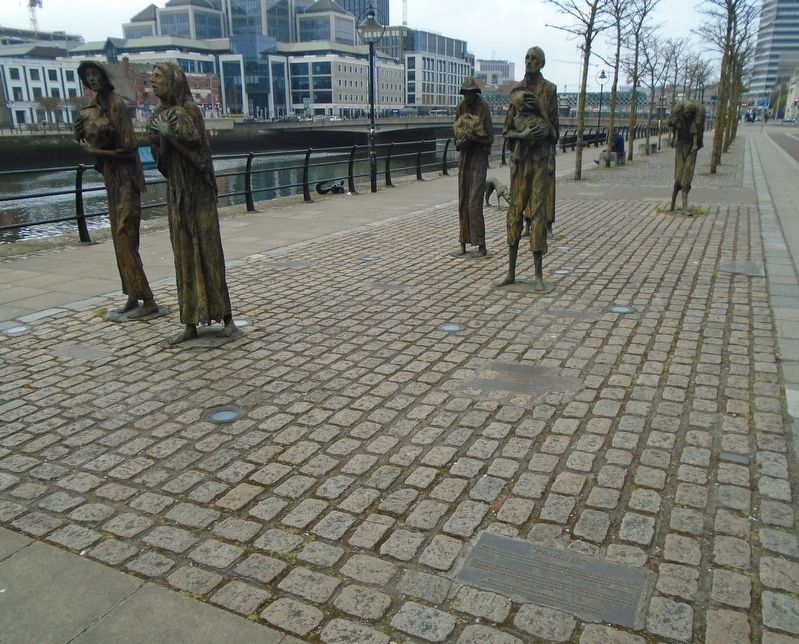
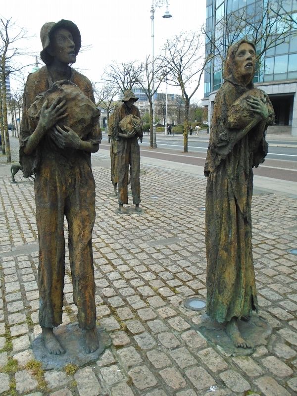
"Famine"
by Rowan Gillespie
| — | Unveiled by Her Excellency President Robinson | — |
Photographed by William Fischer, Jr., April 3, 2025
1. "Famine" Dedication Marker
by Norma Smurfit
29th May 1997
'A procession fraught with most striking and most melancholy interest, wending its painful and mournful way along the whole line of the river, to where the beautiful pile of the Custom house is distinguishable in the far distance .........
Irish Quarterly Review, 1854
————————————————————————————————————
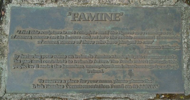
'I feel this sculpture is not complete until the figures are crossing a sea of names, names cast in bronze and sat into the cobble surround, thousands of names, names of those who have pledged to care'
Rowan Gillespie
By featuring your name on Ireland's Famine Memorial you commemorate the past and contribute to Ireland's future. The funds raised through this project will assist the homeless, unemployed and disadvantaged youth of Ireland.
Topics. This historical marker is listed in these topic lists: Charity & Public Work • Disasters • Immigration • Settlements & Settlers. A significant historical year for this entry is 1847.
Location. 53° 20.882′ N, 6° 15′ W. Marker is in Dublin, Leinster, in County Dublin. It is in Dublin's
this page online

Regionally, this marker is in the Ancient East. Globally, it is on the Atlantic Ocean, in the North Atlantic Region, in Europe, on the Island of Ireland, on the Celtic Fringe, in the European Union, in Atlantic Europe, on one of the British Isles, in the Western World, and in the Anglosphere.
Other nearby markers. At least 8 other markers are within walking distance of this marker: Great Irish Famine Victims and Their Canadian Descendants (here, next to this marker); National Famine Way (here, next to this marker); Dublin Docklands Landmarks (here, next to this marker); Human Rights and Poverty Stone (within shouting distance of this marker); a different marker also named Human Rights and Poverty Stone (within shouting distance of this marker); Irish Seaman's National Memorial (about 180 meters away, measured in a direct line); Pairc Elizabeth O'Farrell Park (about 210
Photographed by William Fischer, Jr., April 3, 2025
2. "Famine" Commemorative Marker
Photographed by William Fischer, Jr., April 3, 2025
3. "Famine" Memorial
Photographed by William Fischer, Jr., April 3, 2025
4. "Famine" Memorial Sculptures
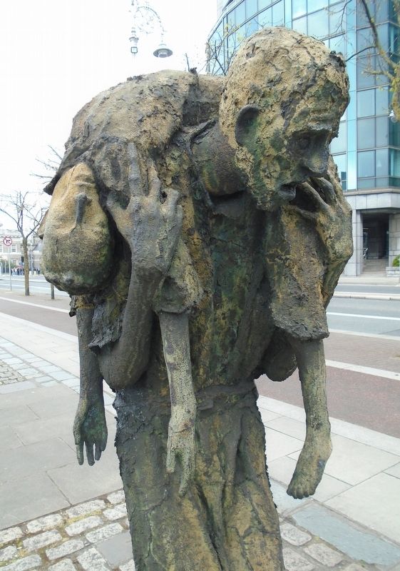
Photographed by William Fischer, Jr., April 3, 2025
5. "Famine" Memorial Sculpture Detail
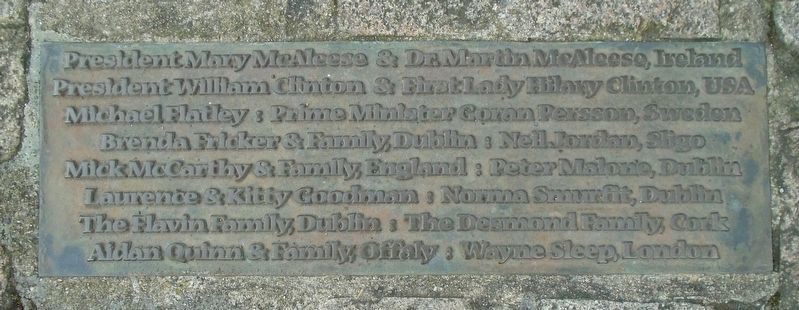
Photographed by William Fischer, Jr., April 3, 2025
6. "Famine" Memorial Donor (notable) Marker
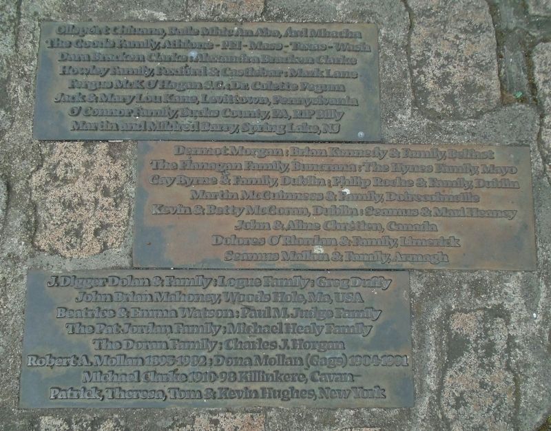
Photographed by William Fischer, Jr., April 3, 2025
7. "Famine" Memorial Donor Markers
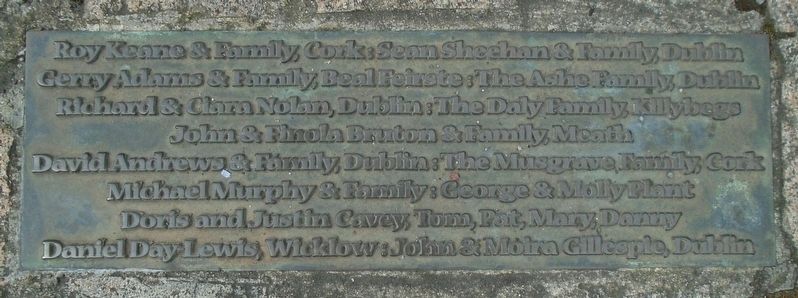
Photographed by William Fischer, Jr., April 3, 2025
8. "Famine" Memorial Donor Marker
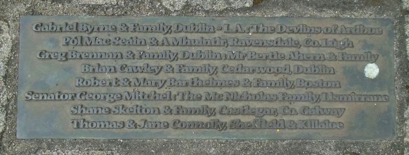
Photographed by William Fischer, Jr., April 3, 2025
9. "Famine" Memorial Donor Marker
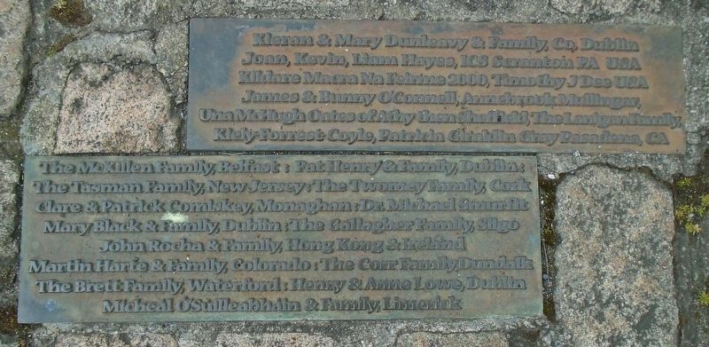
Photographed by William Fischer, Jr., April 3, 2025
10. "Famine" Memorial Donor Markers
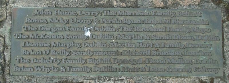
Photographed by William Fischer, Jr., April 3, 2025
11. "Famine" Memorial Donor Marker
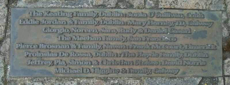
Photographed by William Fischer, Jr., April 3, 2025
12. "Famine" Memorial Donor Marker
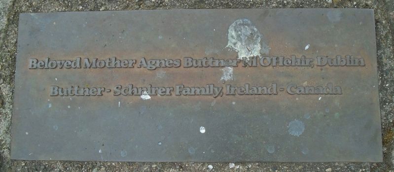
Photographed by William Fischer, Jr., April 3, 2025
13. "Famine" Memorial Donor Marker
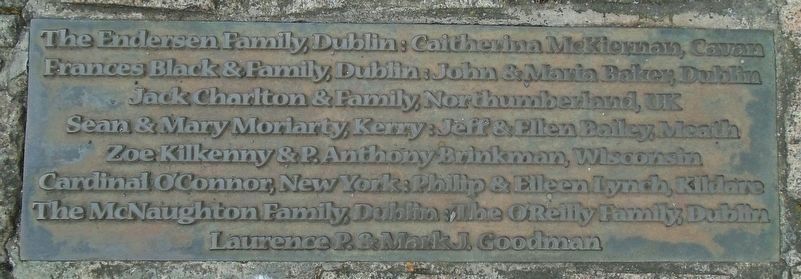
Photographed by William Fischer, Jr., April 3, 2025
14. "Famine" Memorial Donor Marker
Credits. This page was last revised on April 5, 2025. It was originally submitted on April 5, 2025, by William Fischer, Jr. of Reynoldsburg, Ohio. This page has been viewed 164 times since then and 48 times this year. Photos: 1, 2, 3, 4, 5, 6, 7, 8, 9, 10, 11, 12, 13, 14. submitted on April 5, 2025, by William Fischer, Jr. of Reynoldsburg, Ohio.
