
Odessa in Ector County, Texas — The American South (West South Central)
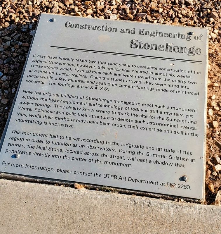
Construction and Engineering of Stonehenge
Photographed by Ian Lefkowitz, September 6, 2022
1. Construction and Engineering of Stonehenge Marker
How the original builders of Stonehenge managed to erect such a monument without the heavy equipment and technology of today is still a mystery, yet awe-inspiring. They clearly knew where to mark the site for the Summer and Winter Solstices and built their structure to denote such astronomical events; thus, while their methods may have been crude, their expertise and skill in the undertaking is impressive.
This monument had to be set according to the longitude and latitude of this region in order to function as an observatory. During the Summer Solstice at sunrise, the Heel Stone, located across the street, will cast a shadow that penetrates directly into the center of the monument.
For more information,
this page online
Topics. This historical marker is listed in these topic lists: Anthropology & Archaeology • Architecture • Arts, Letters, Music.
Location. 31° 53.506′ N, 102° 19.58′ W. Marker is in Odessa, Texas, in Ector County. It is at the intersection of UTPB Circle and Preston Smith Rd on UTPB Circle. Touch for map. Marker is at or near this postal address: 3991 UTPB Cir, Odessa TX 79762, United States of America. Touch for directions.

Regionally, this marker is in West Texas. It is also in the American Southwest. Globally, it is in North America, a Gulf of Mexico state, the Western Hemisphere, the Western World, and the Anglosphere. Historically, it finds itself in what was once New Spain, the Comanchería, the Republic of Texas, and one of the Confederate States of America.
Other nearby markers. At least 8 other markers are within 2 miles of this marker, measured as the crow flies: History of Stonehenge (within shouting distance of this marker); John Ben Shepperd (approx. 0.4 miles away); Old Buffalo Wallow (approx.
Photographed by Ian Lefkowitz, September 6, 2022
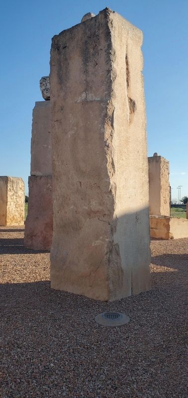
2. Stonehenge
The replica Stonehenge features more modern engineering principles, such as a drainage system.
Credits. This page was last revised on July 23, 2025. It was originally submitted on April 6, 2025, by Ian Lefkowitz of New York, New York. This page has been viewed 242 times since then and 35 times this year. Photos: 1, 2. submitted on April 6, 2025, by Ian Lefkowitz of New York, New York. • James Hulse was the editor who published this page.
