Petrified Forest National Park in Apache County, Arizona — The American Mountains (Southwest)
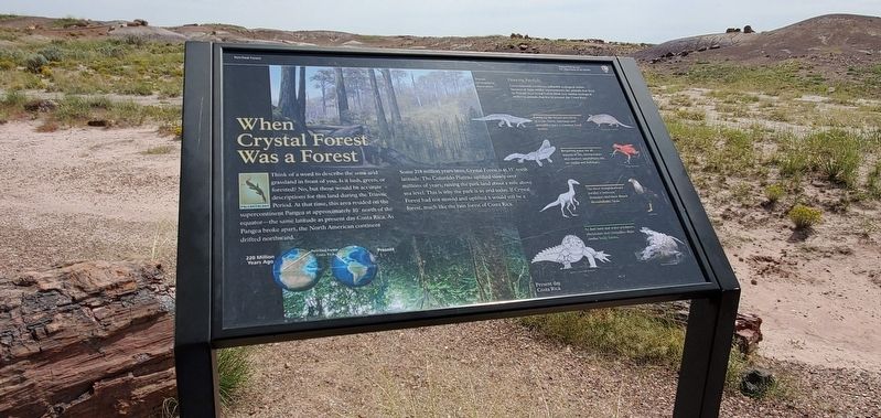
When Crystal Forest Was a Forest
Petrified Forest
| — | National Park Service, U.S. Department of the Interior | — |
Photographed by Ian Lefkowitz, September 9, 2022
1. When Crystal Forest Was a Forest Marker
Some 218 million years later, Crystal Forest is at 35° north latitude. The Colorado Plateau uplifted slowly over millions of years, raising the park land about a mile above sea level. This is why the park is so arid today. If Crystal Forest had not moved and uplifted it would still be a forest, much like the rain forest of Costa Rica.
Drawing Parallels
Environmental conditions influence ecological niches. Because of their similar environments, the animals that lived in Triassic-era Crystal Forest filled very similar ecological niches to animals that live in present day Costa Rica.
• Eating up the insects prevalent in a rain forest, aetosaurs and armadillos have a common food source.
• Requiring water for all aspects
this page online
• The most straightforward parallel is between dinosaurs and their direct descendants, birds.
• As dual land and water predators, phytosaurs and crocodiles share similar body forms.
Erected by National Park Service, U.S. Department of the Interior.
Topics. This historical marker is listed in these topic lists: Paleontology • Parks & Recreational Areas.
Location. 34° 51.826′ N, 109° 47.506′ W. Marker is in Petrified Forest National Park, Arizona, in Apache County. It is on Crystal Forest Trail. Touch for map. Marker is in this post office area: Concho AZ 85924, United States of America. Touch for directions.

Regionally, this marker is in the White Mountains. It is also in the American Southwest, in the Mountain West, on the Colorado Plateau, and at the Four Corners. Globally, it is in North America, the Western Hemisphere, the Western World, and the Anglosphere. Historically, it finds itself in what was once New Spain, the territory of the Ancestral Puebloans, and Mexico’s Alta California.
Photographed by Ian Lefkowitz, September 9, 2022
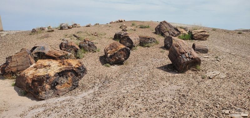
2. Crystal Forest
The Crystal Forest Trail is one of visitors' most convenient opportunities to interact with the Petrified Forest.
Other nearby markers. At least 8 other markers are within 6 miles of this marker, measured as the crow flies: From Wood to Stone (about 300 feet away, measured in a direct line); First Impressions (approx. 2 miles away); Agate Bridge (approx. 2 miles away); Stephen Tyng Mather (approx. 5.4 miles away); Giant Logs (approx. 5.4 miles away); An Ice Age Encampment at Rainbow Forest (approx. 5.4 miles away); Pioneers of Paleontology (approx. 5.6 miles away); The Funky Worm (approx. 5.7 miles away).
Other markers no longer nearby. Triassic Landscape (was within shouting distance of this marker but has been replaced with another marker now near it); Jasper Forest (was approx. 2 miles away but has been permanently removed).
Photographed by Ian Lefkowitz, September 9, 2022
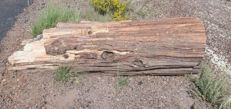
3. Petrified Wood
Petrified wood retains its woody appearance, even through millions of years of petrification.
Photographed by Ian Lefkowitz, September 9, 2022
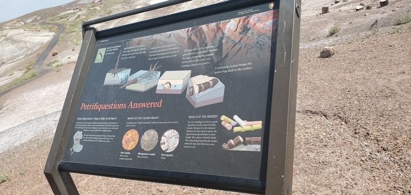
4. Petrifiquestions Answered
A geological marker answers common questions about the origins of petrified wood.
Credits. This page was last revised on June 28, 2025. It was originally submitted on April 6, 2025, by Ian Lefkowitz of New York, New York. This page has been viewed 257 times since then and 41 times this year. Photos: 1, 2, 3, 4. submitted on April 6, 2025, by Ian Lefkowitz of New York, New York. • Andrew Ruppenstein was the editor who published this page.
