La Muette in Paris in Département de Paris, Île-de-France, France — Western Europe
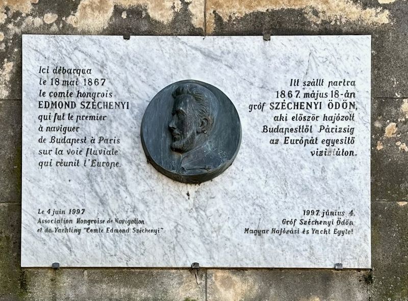
Edmond Széchenyi
Photographed by Andrew Ruppenstein, April 6, 2025
1. Edmond Széchenyi Marker

Here, on May 18, 1867, the Hungarian Count Edmond Széchenyi landed, the first to sail from Budapest to Paris on the waterway that united Europe.
Erected 1997 by Association Hongroise de Navigation el de Yachting "Comte Edmond Széchenyi".
Topics. This historical marker is listed in this topic list: Waterways & Vessels. A significant historical date for this entry is May 18, 1867.
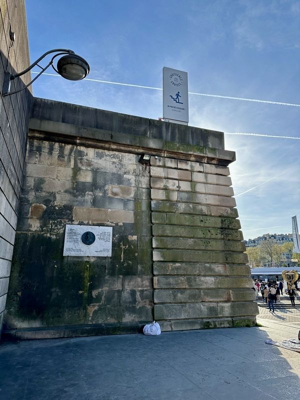
Location. 48° 51.535′ N, 2° 17.542′ E. Marker is in Paris, Île-de-France, in Département de Paris. It is in La Muette. It is on Port de Suffren. The marker is on the south bank of the Seine, mounted to a retaining wall, reachable from the steps descending from street level/Pont d’Iena to the Seine/Port de Suffren. Touch for map. Marker is at or near this postal address: 1 Port de Suffren, Paris, Île-de-France 75007, France. Touch for directions.

Regionally,
this page online
Other nearby markers. At least 8 other markers are within walking distance of this marker: Le Drapeau Tricolore (about 180 meters away, measured in a direct line); Bureau de Gustave Eiffel (about 180 meters away); La Premiere Liaison Radioelectrique (about 180 meters away); Paul Morand (approx. 0.3 kilometers away); Châteaubriand (approx. half a kilometer away); Promenade d’Australie (1941) (approx. half a kilometer away); Lucien Guitry and Sacha Guitry (approx. half a kilometer away); Bir Hakeim Memorial (approx. half a kilometer away). Touch for a list and map of all markers in Paris.
Also see . . . Folyókon és csatornákon keresztül Párizsba – 150 éves a Hableány , (PestBuda, in Hungarian). = Through rivers and canals to Paris – 150 years of the “Mermaid”. Excerpt (in translation):
… visited the 1867 Paris World Exhibition, and did so in a way that caused(Submitted on April 6, 2025.)a sensation throughout Europe. No one had ever made this journey on European inland waterways before him. For this extraordinary adventure, he had his steamer called Hableány (“Mermaid”) built in the Újpest shipyard based on the designs of Adolf Höcher. The ship was not large, its length was 20 meters, and its width was only 3.66 meters, meaning it was barely larger than a modern articulated bus. The ship's draft was only 46 centimeters, which made it ideal for travel on inland waterways. Ödön Széchenyi himself described the ship as follows: "First of all, a ship of such size was built that, in terms of length, depth and width, it could be used in the deepest and narrowest rivers and canals." A 6-horsepower steam engine provided propulsion, which turned the paddle wheels on both sides of the Hablány.Photographed by Andrew Ruppenstein, April 6, 20252. Edmond Széchenyi Marker - wide view
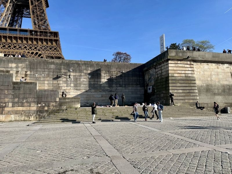
Photographed by Andrew Ruppenstein, April 6, 2025
3. Edmond Széchenyi Marker - wider view
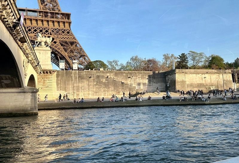
Photographed by Andrew Ruppenstein, April 6, 2025
4. Edmond Széchenyi marker - river view, showing the Port de Suffren area on the Seine River
Credits. This page was last revised on April 8, 2025. It was originally submitted on April 6, 2025, by Andrew Ruppenstein of Lamorinda, California. This page has been viewed 160 times since then and 26 times this year. Photos: 1, 2, 3, 4. submitted on April 6, 2025, by Andrew Ruppenstein of Lamorinda, California.
