Peterboro in Madison County, New York — The American Northeast (Mid-Atlantic)
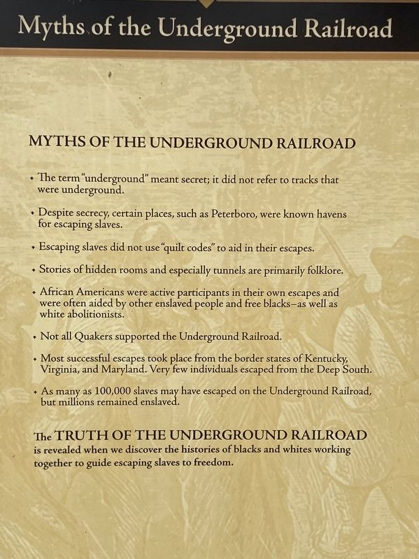
Myths of The Underground Railroad
Photographed by Susan A. Dalaba, April 25, 2022
1. Myths of The Underground Railroad Marker
• The term “ underground” meant secret; it did not refer to tracks that were underground.
• Despite secrecy, certain places, such as Peterboro, were known havens for escaping slaves.
• Escaping slaves did not use “quilt codes” to aid in their escapes.
• Stories of hidden rooms and especially tunnels are primarily folklore.
• African Americans were active participants in their own escapes and were often aided by other enslaved people and free blacks – as well as white abolitionists.
• Not all Quakers supported the Underground Railroad.
• Most successful escapes took place from the border states of Kentucky, Virginia and Maryland. Very few individuals escaped from the Deep South.
• As many as 100,000 slaves may have escaped on the Underground Railroad, but millions remained enslaved.
The Truth of The Underground Railroad is revealed when we discover the histories of blacks and whites working together to guide escaping slaves to freedom.
Topics. This historical marker is listed in these topic lists: Abolition & Underground RR • African Americans.
Location. 42° 58.091′ N,
this page online
 Marker is in Peterboro, New York, in Madison County. It can be reached from the intersection of Oxbow Road (County Route 25) and Peterboro Road, on the left when traveling south. Touch for map. Marker is at or near this postal address: 5304 Oxbow Road, Peterboro NY 13134, United States of America. Touch for directions.
Regionally, this marker is in Upstate New York, specifically in Central New York, and in the Syracuse Metropolitan Area. It is also in the American Northeast and in the Mid-Atlantic. Globally, it is in North America, the Western Hemisphere, the Western World, and the Anglosphere. Historically, it finds itself in what was once the Haudenosaunee (Iroquois) Confederacy, New Netherland, and one of the original Thirteen Colonies.
Other nearby markers. At least 8 other markers are within walking distance of this marker: Designations (here, next to this marker); The Barn (here, next to this marker); The Lodge (a few steps from this marker); The Laundry (a few steps from this marker); To Work In The Abolition Movement (within shouting distance of this marker); Heaven & Peterboro
Photographed by Susan A. Dalaba, April 25, 2022
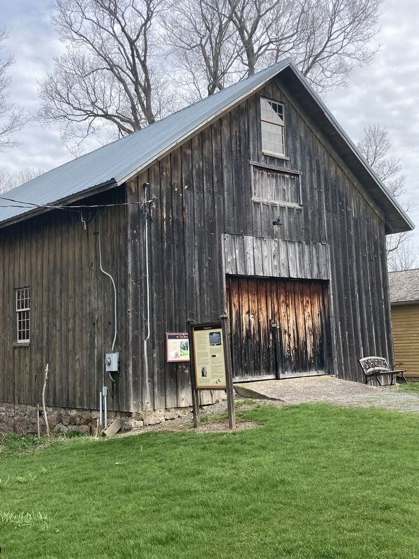
2. Myths of The Underground Railroad Marker
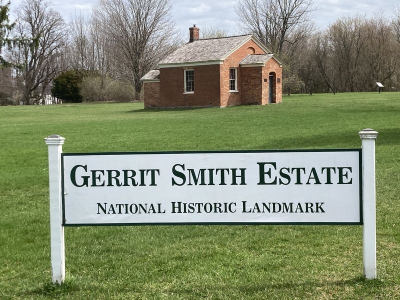
More about this marker. Located on the grounds of the Gerrit Smith Estate National Historic Landmark next to the barn.
Photographed by Susan A. Dalaba, April 25, 2022
3. Gerrit Smith Estate National Historic Landmark
Credits. This page was last revised on April 27, 2025. It was originally submitted on April 6, 2025, by Susan A. Dalaba of Cortland, New York. This page has been viewed 129 times since then and 39 times this year. Photos: 1, 2, 3. submitted on April 6, 2025, by Susan A. Dalaba of Cortland, New York. • Michael Herrick was the editor who published this page.
