Buffalo Springs in Clay County, Texas — The American South (West South Central)
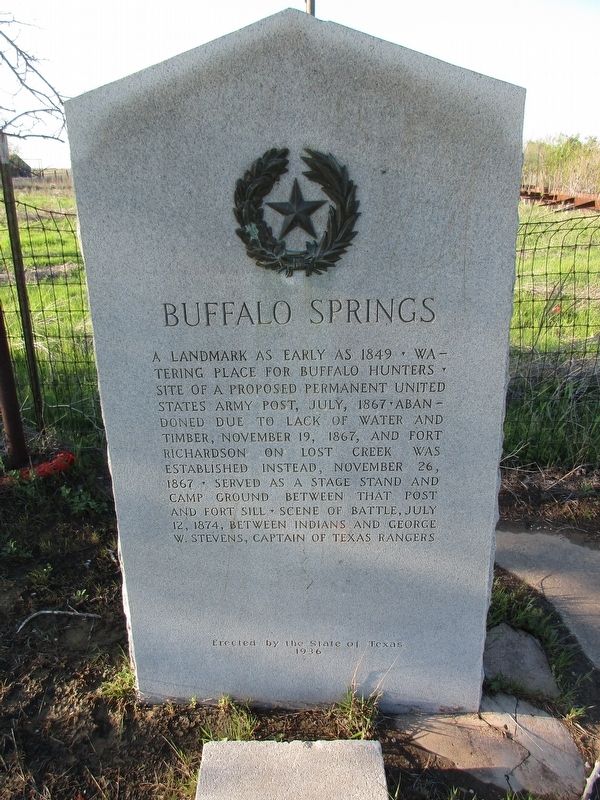
Buffalo Springs
Photographed by Jeff Leichsenring, April 6, 2025
1. Buffalo Springs Marker
Erected 1936 by State of Texas. (Marker Number 561.)
Topics and series. This historical marker is listed in these topic lists: Settlements & Settlers • Wars, US Indian. In addition, it is included in the Texas 1936 Centennial Markers and Monuments series list.
Location. 33° 33.387′ N, 98° 8.392′ W. Marker is in Buffalo Springs, Texas, in Clay County. It is at the intersection of Farm to Market Road 174 and Buffalo Springs Road (Farm to Market Road 3077), on the right when traveling west on Road 174. Touch for map. Marker is at or near this postal address: 214 N Main St, Henrietta TX 76365, United States of America. Touch for directions.

Regionally,
this page online
Other nearby markers. At least one other marker is within walking distance of this marker: Buffalo Springs, C.S.A. (here, next to this marker).
Photographed by Jeff Leichsenring, April 6, 2025
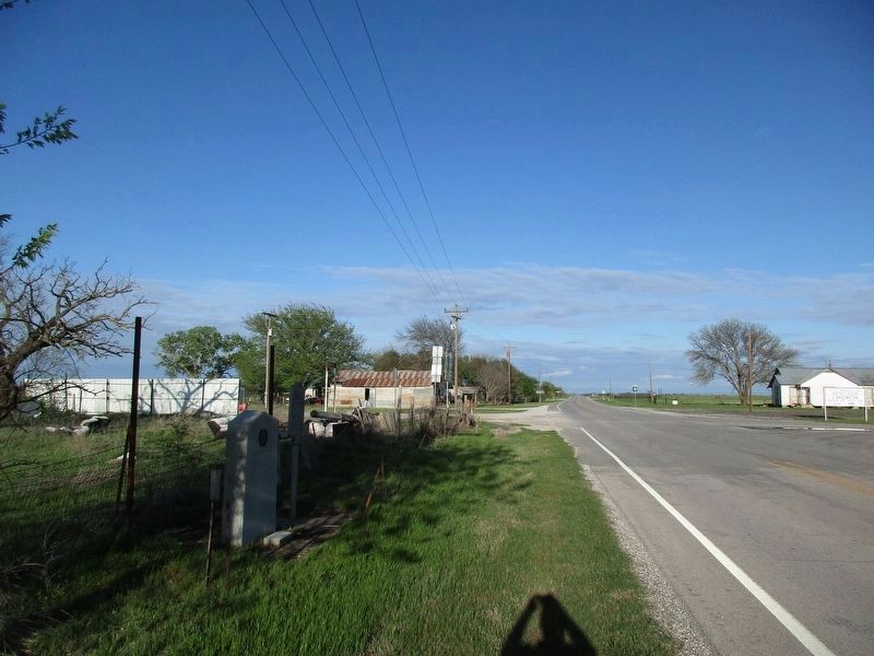
2. Buffalo Springs Marker
Marker is on the left; Buffalo Springs C.S.A. marker is on the right.
Credits. This page was last revised on April 8, 2025. It was originally submitted on April 7, 2025, by Jeff Leichsenring of Garland, Texas. This page has been viewed 284 times since then and 59 times this year. Photos: 1, 2. submitted on April 7, 2025, by Jeff Leichsenring of Garland, Texas. • James Hulse was the editor who published this page.
