Buffalo Springs in Clay County, Texas — The American South (West South Central)
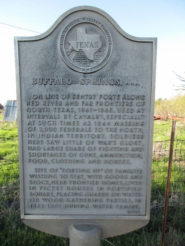
Buffalo Springs, C.S.A.
Photographed by Jeff Leichsenring, April 6, 2025
1. Buffalo Springs, C.S.A. Marker
Erected 1965 by State Historical Survey Committee. (Marker Number 563.)
Topics. This historical marker is listed in these topic lists: Settlements & Settlers • War, US Civil. A significant historical year for this entry is 1864.
Location. 33° 33.387′ N, 98° 8.391′ W. Marker is in Buffalo Springs, Texas, in Clay County. It is at the intersection of Farm to Market Road 174 and Buffalo Springs Road (Farm to Market Road 3077), on the right when traveling west on Road 174. Touch for map. Marker is at or near this postal address: 214 N Main St, Henrietta TX 76365,
this page online

Regionally, this marker is in Big Country. Globally, it is in North America, a Gulf of Mexico state, the Western Hemisphere, the Western World, and the Anglosphere. Historically, it finds itself in what was once New Spain, the Comanchería, the Republic of Texas, and one of the Confederate States of America.
Other nearby markers. At least one other marker is within walking distance of this marker: A different marker also named Buffalo Springs (here, next to this marker).
Photographed by Jeff Leichsenring, April 6, 2025
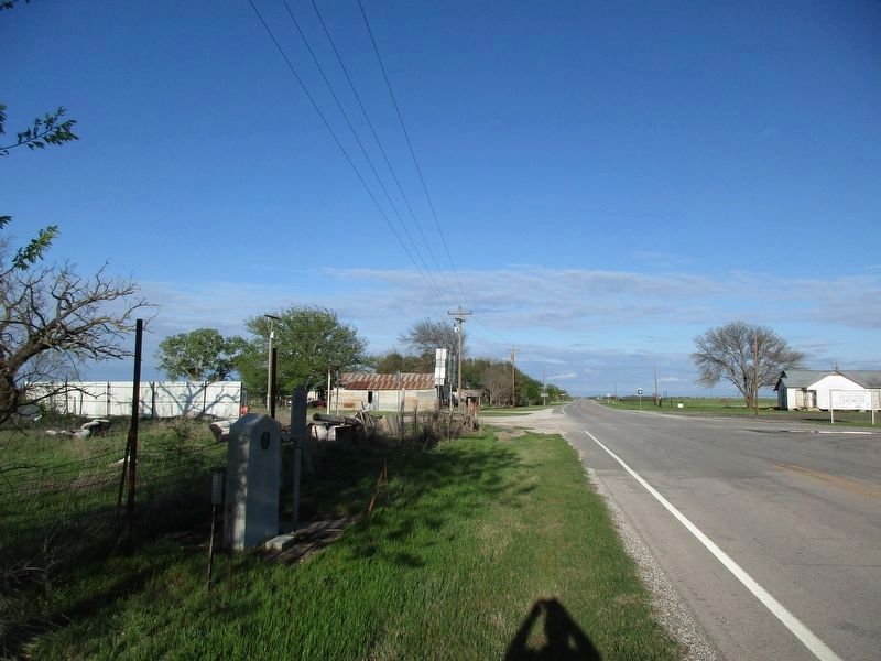
2. Buffalo Springs, C.S.A. Marker
Marker is on the right; Buffalo Springs marker is on left.
Credits. This page was last revised on April 8, 2025. It was originally submitted on April 7, 2025, by Jeff Leichsenring of Garland, Texas. This page has been viewed 250 times since then and 48 times this year. Photos: 1, 2. submitted on April 7, 2025, by Jeff Leichsenring of Garland, Texas. • James Hulse was the editor who published this page.
