
New Tacoma in Pierce County, Washington — The American West (Northwest)
Then and Now: South End of the Thea Foss Waterway

Photographed by Ian Lefkowitz, October 18, 2023
1. Then and Now: South End of the Thea Foss Waterway Marker
At mid-century, this was the site of Graystone of Tacoma, a concrete distributor. Neighbors included manufacturers of plywood, cement, furniture, and wood flour (used to make laminates and plastics). There were transportation and shipping companies, as well as a few businesses storing and trading in fuel oil. Log booms floated nearby. Immediately across the waterway, on the tideflats, were large warehouses holding produce and other goods. Fill material, some of it from the dredging of this waterway, had raised the tideflats above high tide.
As of 2020, this end of the Thea Foss Waterway is barely industrial. There are condominiums, a world-class museum, restaurants, pleasure-craft
this page online
Erected 2020.
Topics. This historical marker is listed in these topic lists: Industry & Commerce • Waterways & Vessels. A significant historical year for this entry is 1895.
Location. 47° 14.789′ N, 122° 26.015′ W. Marker is in Tacoma, Washington, in Pierce County. It is in New Tacoma. It is on Dock Street. Touch for map. Marker is at or near this postal address: 1795 Dock Street, Tacoma WA 98402, United States of America. Touch for directions.

Regionally, this marker is in the Puget Sound Region and in Greater Seattle. It is also on the American Pacific Coast, in the Pacific Northwest, and in the Lewis & Clark Corridor. Globally, it is in North America, in the Cascade Range, in the Inside Passage, on the Ring of Fire, in the Pacific Rim, in the Western Hemisphere, in the Western World, and in the Anglosphere.
Other nearby markers. At least 8 other markers are within 2 miles of
Photographed by Ian Lefkowitz, October 18, 2023
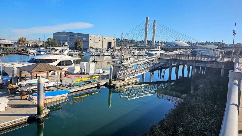
2. Thea Foss Waterway
The Tacoma Dome and East 21st Street Bridge are Tacoma landmarks that can be seen from the historical marker on the south end of the Foss Waterway.
Another marker is no longer nearby. In Honor of Rossell G. O’Brien (was approx. 0.7 miles away but has been permanently removed).
Photographed by Ian Lefkowitz, October 18, 2023
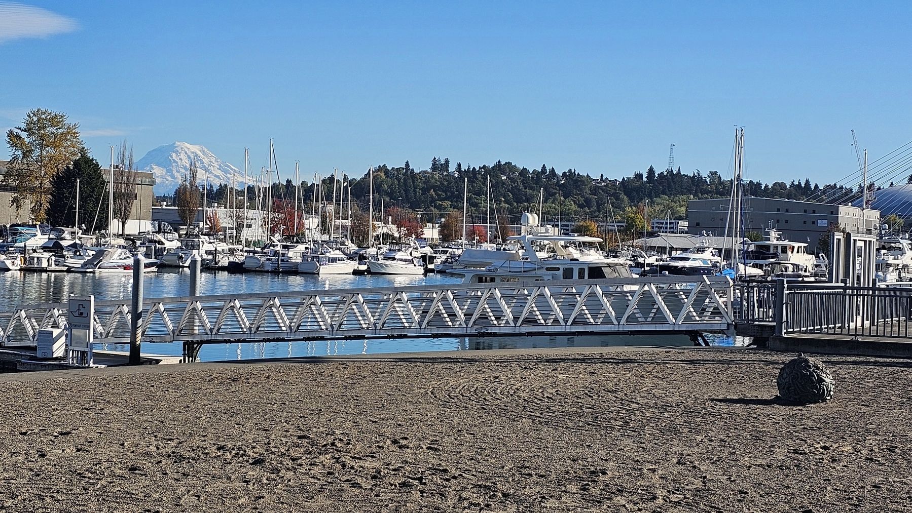
3. Mount Rainier
Mount Rainier looms over the south end of the Thea Foss Waterway.
Credits. This page was last revised on April 10, 2025. It was originally submitted on April 8, 2025, by Ian Lefkowitz of New York, New York. This page has been viewed 163 times since then and 27 times this year. Photos: 1, 2, 3. submitted on April 8, 2025, by Ian Lefkowitz of New York, New York. • Andrew Ruppenstein was the editor who published this page.
