Claremont in Los Angeles County, California — The American West (Pacific Coastal)
Helen Goodwin Renwick
Photographed by Adam Margolis, April 5, 2025
1. Helen Goodwin Renwick Marker
Inscription.
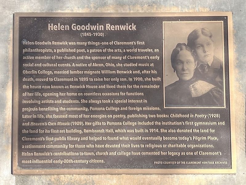
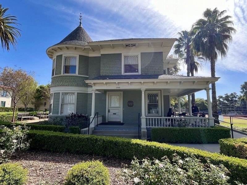
Helen Goodwin Renwick was many things - one of Claremont's first philanthropists, a published poet, a patron of the arts, a world traveler, an active member of her church and the sponsor of many of Claremont's early social and cultural events. A native of Akron, Ohio, she studied music at Oberlin College, married lumber magnate William Renwick and, after his death, moved to Claremont in 1895 to raise her only son. In 1900, she built the house now known as Renwick House and lived there for the remainder of her life, opening her home on countless occasions for functions involving artists and students. She always took a special interest in projects benefiting the community, Pomona College and foreign missions. Later in life, she focused most of her energies on poetry, publishing two books: Childhood in Poetry (1928) and Heaven's Own Mosaic (1929). Her gifts to Pomona College induced the institution's first gymnasium and the land for its first art building, Rembrandt Hall, which was built in 1914. She also donated the land for Claremont's first public library and helped to found what would eventually become today's Pilgrim
Click or scan to see this page online
Place, a retirement community for those who have devoted their lives to religious or charitable organizations, Helen Renwick's contributions to town, church and college have cemented her legacy as one of Claremont's most influential early-20th century citizens.
Topics. This historical marker is listed in these topic lists: Charity & Public Work • Women. A significant historical year for this entry is 1895.
Location. 34° 5.739′ N, 117° 42.879′ W. Marker is in Claremont, California, in Los Angeles County. It can be reached from North College Avenue, on the right when traveling north. Touch for map. Marker is at or near this postal address: 146 N College Avenue, Claremont CA 91711, United States of America. Touch for directions.
Regionally, this marker is in Greater Los Angeles and in the Transverse Ranges. It is also on the American Pacific Coast. Globally, it is in North America, on the Ring of Fire, on the Pacific Rim, in the Western Hemisphere, in the Western World, and in the Anglosphere. Historically, it finds itself in what was once New Spain and also Mexico’s Alta California.
Credits. This page was last revised on April 9, 2025. It was originally submitted on April 8, 2025, by Adam Margolis of Mission Viejo, California. This page has been viewed 546 times since then and 127 times this year. Photos:1, 2, 3. submitted on April 8, 2025, by Adam Margolis of Mission Viejo, California. • Andrew Ruppenstein was the editor who published this page.