Hespeler in Cambridge in Waterloo Region, Ontario — Central Canada (North America)
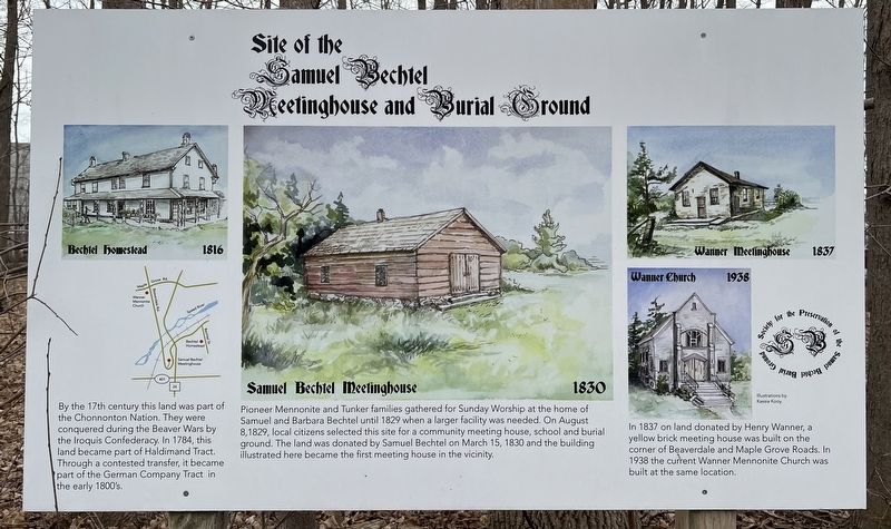
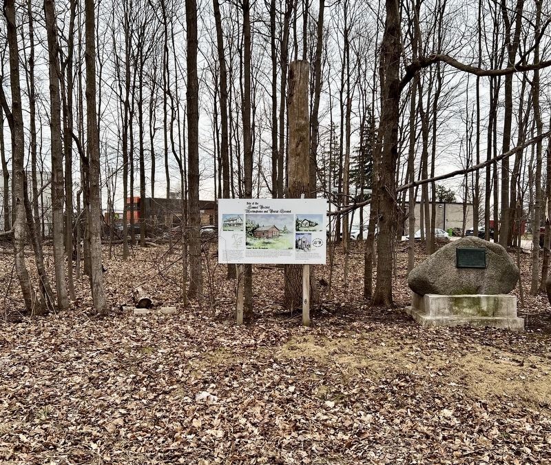
Site of the Samuel Bechtel Meeting House and Burial Ground
Photographed by Tim Boyd, April 4, 2025
1. Site of the Samuel Bechtel meeting House and Burial Ground Marker
Pioneer Mennonite and Tunker families gathered for Sunday Worship at the home of Samuel and Barbara Bechtel until 1829 when a larger facility was needed. On August 8, 1829, local citizens selected this site for a community meeting house, school and burial ground. The land was donated by Samuel Bechtel on March 15, 1830 and the building illustrated here became the first meeting house in the vicinity.
In 1837 on land donated by Henry Wanner, a yellow brick meeting house was built on the corner of Beaverdale and Maple Grove Roads. In 1938 the current Wanner Mennonite Church was built at the same location.
Topics. This historical marker is listed in these topic lists: Cemeteries & Burial Sites • Religion & Religious Structures • Settlements & Settlers. A significant historical date for this entry is August 8, 1829.
Location. 43° 25.043′ N, 80° 19.804′ W.
this page online

Regionally, this marker is in the Huron-Perth-Waterloo-Wellington Area and in Southwestern Ontario. It is also in Central Canada. Globally, it is in North America, the Western Hemisphere, the Western World, and the Anglosphere. Historically, it finds itself in what was once a British colony, the Viceroyalty of New France, the Haudenosaunee (Iroquois) Confederacy, and Rupert’s Land.
Other nearby markers. At least 8 other markers are within 3 kilometers of this marker, measured as the crow flies: Waterloo Township Community Meeting House School and Burial Ground (here, next to this marker); First Mennonite Sunday School (approx. 1.7 kilometers away); History of the Riverbank (approx. 2.2 kilometers away); Hespeler Cenotaph (approx. 2.3 kilometers away); Tannery Street/ Forbes Park Area (approx. 2.3 kilometers away); Jacob’s Landing and Hespeler Mill Pond
Photographed by Tim Boyd, April 4, 2025
2. Site of the Samuel Bechtel Meeting House and Burial Ground Marker
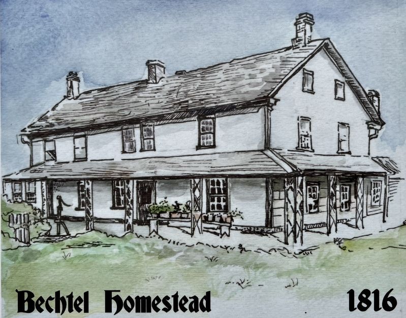
3. Site of the Samuel Bechtel Meeting House and Burial Ground marker illustration detail
Bechtel Homestead 1816

4. Site of the Samuel Bechtel meeting House and Burial Ground marker illustration detail
Samuel Bechtel Meetinghouse 1830
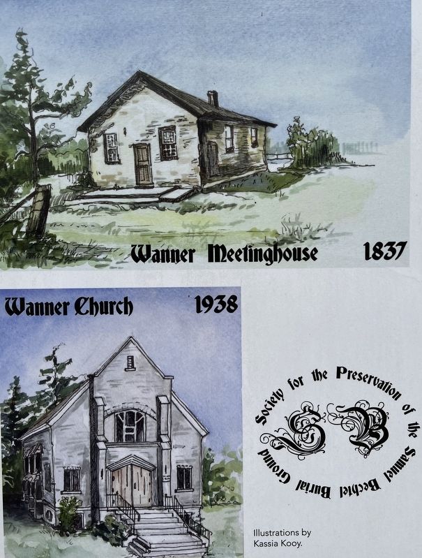
5. Site of the Samuel Bechtel Meeting House and Burial Ground marker illustrations detail
Wanner Meeting House 1837, and church 1938
Credits. This page was last revised on April 10, 2025. It was originally submitted on April 9, 2025, by Tim Boyd of Hamilton, Ontario. This page has been viewed 220 times since then and 51 times this year. Photos: 1, 2, 3, 4, 5. submitted on April 9, 2025, by Tim Boyd of Hamilton, Ontario. • Andrew Ruppenstein was the editor who published this page.
