Northwest Portland in Multnomah County, Oregon — The American West (Northwest)
Forest Park: A Natural Escape

Photographed by Ian Lefkowitz, October 21, 2023
1. Forest Park: A Natural Escape Marker
What makes Forest Park so special?
Forest Park is one of the largest natural forested urban parks in America, featuring over 80 miles of trails throughout 5,000-plus acres. While stands of large trees may be the first thing you notice, the intricate web of plants and animals found within the Park is really a study in diversity. This unique park includes mixed forests of deciduous and coniferous trees, with a few very old cedars, Douglas-firs, and hemlocks. More than 100 bird and 60 mammal species make their homes in these diverse habitats.
How did the Park escape development?
Creating a "forest park" in Portland's west hills was envisioned as early as 1903 by the Olmsted Brothers, who may be best known design of New York City’s Central Park. Decades later a group of civic, commercial, and recreational organizations revived the concept, leading to formal creation of Forest Park in 1948. Since then, the Park has become a popular destination for those who value their connection with this wooded, tranquil environment and enjoy its trails.
A visit to these woods would afford more pleasure and satisfaction than a visit to any other sort of park. No use to which this tract of land could be put would begin to be as sensible or as profitable to the city as that of making it a public park.
1903 Olmsted Report to The Portland Park Board
Do your footprints matter?
As
this page online
Erected by The Forest Park Conservancy.
Topics. This historical marker is listed in this topic list: Parks & Recreational Areas. A significant historical year for this entry is 1948.
Location. 45° 32.102′ N, 122° 42.764′ W. Marker is in Portland, Oregon, in Multnomah County. It is in Northwest Portland. It is on Northwest 31st Avenue. Touch for map. Marker is at or near this postal address: 1746 NW 31st Ave, Portland OR 97210, United States of America. Touch for directions.

Regionally, this marker is in the Columbia River Gorge and in the Willamette Valley.
Photographed by Ian Lefkowitz, October 21, 2023
2. Forest Park: A Natural Escape Marker
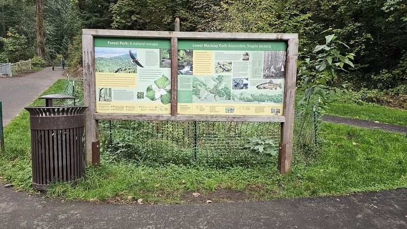
The marker is located at the base of Lower Macleay Trail. A second larger marker next to it shares more about the natural and geological features of the trail.
Other nearby markers. At least 8 other markers are within 2 miles of this marker, measured as the crow flies: St. Patrick’s Roman Catholic Church and Rectory (approx. 1.1 miles away); "For You A Rose in Portland Grows" (approx. 1.2 miles away); Systems Building (approx. 1.4 miles away); MIA (approx. 1.6 miles away); Bronaugh Apartments (approx. 1.6 miles away); 1972 – 1976 (approx. 1.6 miles away); 1970 – 1971 (approx. 1.6 miles away); 1968 – 1969 (approx. 1.6 miles away). Touch for a list and map of all markers in Portland.
Photographed by Ian Lefkowitz, October 21, 2023
3. Forest Park
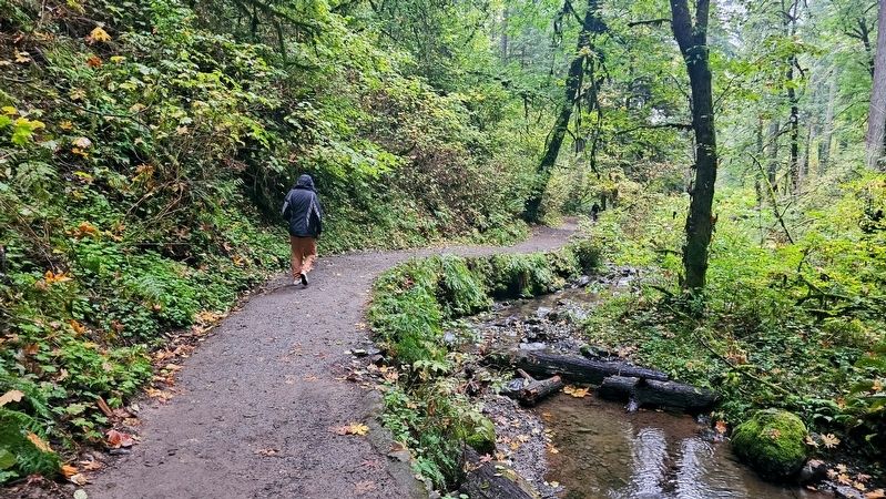
Inside Forest Park on the Lower Macleay trail to the stone building known as "Witch's Castle."

Photographed by Ian Lefkowitz, October 21, 2023
4. The Witch's Castle
This locally famous abandoned building is found on the trail leading from the historical marker found at the entrance to Forest Park.
Credits. This page was last revised on April 10, 2025. It was originally submitted on April 10, 2025, by Ian Lefkowitz of New York, New York. This page has been viewed 484 times since then and 142 times this year. Photos: 1, 2, 3, 4. submitted on April 10, 2025, by Ian Lefkowitz of New York, New York. • Andrew Ruppenstein was the editor who published this page.
