Los Alamos in Los Alamos County, New Mexico — The American Mountains (Southwest)
Manhattan Project National Historical Park
Los Alamos Historic District Walking Tour
Photographed by James Hulse, March 25, 2025
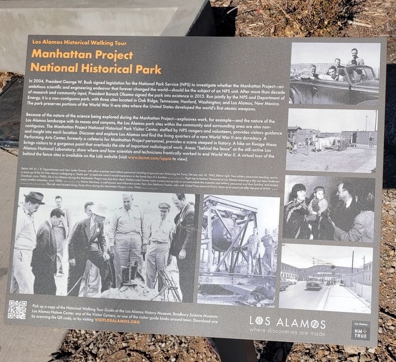
1. Manhattan Project National Historical Park Marker
Because of the nature of the science being explored during the Manhattan Project - explosives work, for example - and the nature of the Los Alamos landscape with its mesas and canyons, the Los Alamos park sites within the community and surrounding area are also non-contiguous. The Manhattan Project National Historical Park Visitor Center, staffed by NPS rangers and volunteers, provides visitors guidance and insight into each location. Discover and explore
this page online
Below left. Dr. J.R. Oppenheimer and Gen. Leslie Groves, with other scientists and military personnel standing at ground zero following the Trinity Site test, July 16, 1945; Below right: Two military personnel standing next to a mock-up of the Fat Man device undergoing a "shake test" to replicate what it would experience in the bomb bay of a bomber (photos courtesy LANL); Right top to bottom: Personnel at Los Alamos enjoying a day out near Anderson Overlook, circa 1940s; Life in Los Alamos during the Manhattan Project was less than ideal. Prefabricated homes were constructed quickly to accommodate the scientists and military personnel and their families, and lacked many comfort amenities, circa 1940s. (photos courtesy LANL); Maria Martinez, a well-known and influential potter from San Ildefonso Pueblo, talks with Nobel Prize physicist Enrico Fermi at an event just after the end of WWII. (photos courtesy Los Alamos Historical Society); Lab was located along Trinity Drive during the Manhattan Project, circa 1940s (photos courtesy LANL)
Pick up a copy of the Historical Walking Tour Guide at the Los Alamos History Museum, Bradbury Science Museum, Los Alamos Nature Center, any of the Visitor Centers, or one of the visitor guide kiosks around town. Download one by scanning the QR code, or go to visitlosalamos.org.
Erected by Los
Photographed by James Hulse, March 25, 2025
2. Manhattan Project National Historical Park Marker
Topics. This historical marker is listed in this topic list: Parks & Recreational Areas. A significant historical date for this entry is July 16, 1945.
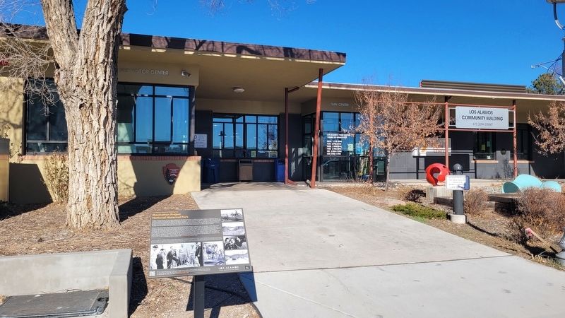
Location. 35° 52.851′ N, 106° 18.115′ W. Marker is in Los Alamos, New Mexico, in Los Alamos County. It is on 20th Street south of Central Ave, on the right when traveling south. The marker is located at the entrance of the Los Alamos Visitors Center building. Touch for map. Marker is at or near this postal address: 475 B 20th St, Los Alamos NM 87544, United States of America. Touch for directions.

Regionally, this marker is in Northern New Mexico. It is also in the American Southwest. Globally, it is in North America, the Rocky Mountains, the Western Hemisphere, the Western World, and the Anglosphere. Historically, it finds itself in what was once New Spain and also the territory of the Ancestral Puebloans.
Other nearby markers. At least 8 other markers are within walking distance of this marker: Dr. J. Robert Oppenheimer & Gen. Leslie Groves Sculptures (within shouting distance of this marker); Manhattan Project Era (within shouting distance of this marker); Ashley Pond Park
Photographed by James Hulse, March 25, 2025
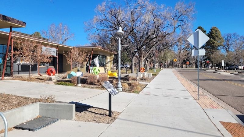
3. The view of the marker along the street
Also see . . .
1. Los Alamos where discoveries are made. Los Alamos County (Submitted on April 12, 2025, by James Hulse of Medina, Texas.)
2. Historical Walking Tour Map. Los Alamos Historical Museum
Walk from the Stone Age to the atomic age. Your walking tour spans eight centuries of Los Alamos history, from ancestral Pueblos, through homesteading on the Pajarito Plateau, to the future of science and technology. We hope that it will be just the beginning of your acquaintance with Los Alamos.(Submitted on April 12, 2025, by James Hulse of Medina, Texas.)

Photographed by James Hulse, March 25, 2025
4. Manhattan Project National Historical Park
Credits. This page was last revised on April 12, 2025. It was originally submitted on April 11, 2025, by James Hulse of Medina, Texas. This page has been viewed 254 times since then and 46 times this year. Photos: 1, 2, 3, 4. submitted on April 12, 2025, by James Hulse of Medina, Texas.
