Los Alamos in Los Alamos County, New Mexico — The American Mountains (Southwest)
Ashley Pond Park
Los Alamos Historic District Walking Tour
Photographed by James Hulse, March 25, 2025
1. Ashley Pond Park Marker
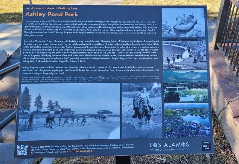
During the Manhattan Project, the army built the Laboratory around the pond. The army fenced off the area, but firefighters frequently used its water to put out fires in the Lab area. The Lab buildings dwarfed the small body of water, and most residents forgot about it. In the 1950s, as the Laboratory moved south across Los Alamos Canyon and the Atomic Energy Commission tore down the temporary wartime buildings, officials considered
this page online
Today, the park remains a focal point for the community. It is the scene of concerts, picnics, fairs, winter light displays, and much more. Geese and ducks began making the pond their home in the earliest days of its creation. Today these waterfowl are beloved members of the community, living at the pond year-round.
Below left: Ranch School boys playing hockey on the pond, circa 1920s: Below right. Ashley Pond on horseback, circa 1920s: Right top to bottom: Jim Tuck, Dan Dodder and others on Ashley Pond in their efforts to save it from being destroyed, circa 1940s; Los Alamos community members enjoying the pond, circa 1960s; Ashley Pond Park in the 1970s with the first Municipal Building situated to the west (photos courtesy Los Alamos Historical Society); Ashley Park in 2019, during a Summer Concert Series event, a fan favorite held on Friday nights throughout the warmer months.
Pick up a copy of the Historical Walking Tour Guide at the Los Alamos History Museum, Bradbury Science Museum, Los Alamos Nature Center, any of the Visitor Centers, or one of the visitor guide kiosks around town. Download one by scanning the QR code, or go to visitlosalamos.org.
Erected by Los
Photographed by James Hulse, March 25, 2025
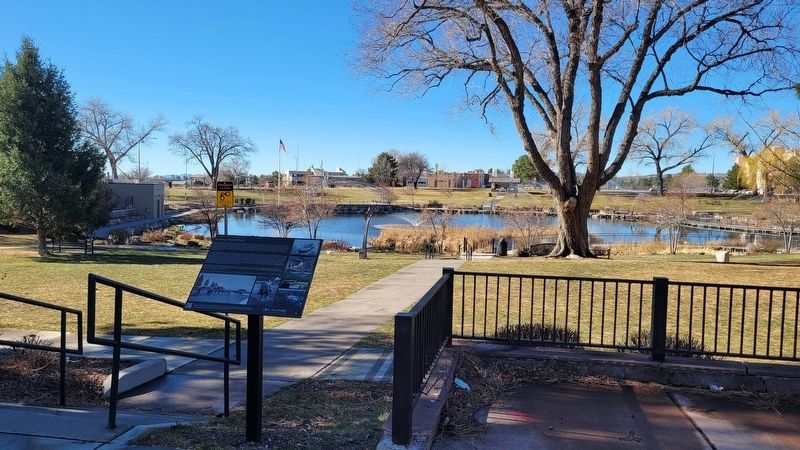
2. The Ashley Pond Park and Marker
Topics. This historical marker is listed in this topic list: Parks & Recreational Areas. A significant historical date for this entry is May 9, 2014.
Location. 35° 52.894′ N, 106° 18.161′ W. Marker is in Los Alamos, New Mexico, in Los Alamos County. It is at the intersection of Central Avenue and Bathtub Row, on the left when traveling west on Central Avenue. The marker is located along the street on the north side of Ashley Pond. Touch for map. Marker is at or near this postal address: 2132 Central Ave, Los Alamos NM 87544, United States of America. Touch for directions.

Regionally, this marker is in Northern New Mexico. It is also in the American Southwest. Globally, it is in North America, the Rocky Mountains, the Western Hemisphere, the Western World, and the Anglosphere. Historically, it finds itself in what was once New Spain and also the territory of the Ancestral Puebloans.
Other nearby markers. At least 8 other markers are within walking distance of this marker: Manhattan Project Era (within shouting distance of this marker); Dr. J. Robert Oppenheimer & Gen. Leslie Groves Sculptures (within shouting distance of
Photographed by James Hulse, March 25, 2025
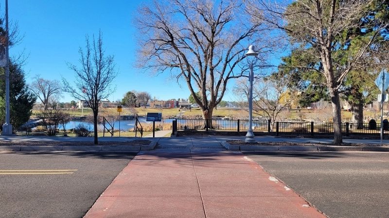
3. The view of the Ashley Pond and Marker along the street
Another marker is no longer nearby. Fuller Lodge (was about 300 feet away but has been permanently removed).
Also see . . .
1. Los Alamos where discoveries are made. Los Alamos County (Submitted on April 12, 2025, by James Hulse of Medina, Texas.)
2. Historical Walking Tour Map. Los Alamos Historical Museum
Walk from the Stone Age to the atomic age. Your walking tour spans eight centuries of Los Alamos history, from ancestral Pueblos, through homesteading on the Pajarito Plateau, to the future of science and technology. We hope that it will be just the beginning of your acquaintance with Los Alamos.(Submitted on April 12, 2025, by James Hulse of Medina, Texas.)
Credits. This page was last revised on April 12, 2025. It was originally submitted on April 11, 2025, by James Hulse of Medina, Texas. This page has been viewed 175 times since then and 25 times this year. Photos: 1, 2, 3. submitted on April 12, 2025, by James Hulse of Medina, Texas.
