Mifflin Township in Yacht Point Cottage Area in Ashland County, Ohio — The American Midwest (Great Lakes)
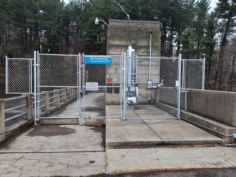
Charles Mill Dam

Photographed by Craig Doda, April 5, 2025
1. Charles Mill Dam Marker
This dam is incorporated by the Flood Control Act of 1939 in the comprehensive plan of the Corps of Engineers, U.S. Army, for alleviation of floods in the Ohio River Basin.
The dam has been operated and maintained for flood control by the Corps of Engineers, U.S. Army, since August 1939.
Development of the reservoir area for public use and conservation continues to be a function of the Muskingum Watershed Conservancy District.
1935-1936
constructed by the
Corps of Engineers
U.S. Army
for the
Muskingum Watershed
Conservancy District
Ryan & Myers
general contractors.
Topics. This historical marker is listed in these topic lists: Architecture • Charity & Public Work • Waterways & Vessels. A significant historical month for this entry is August 1939.
Location. 40° 44.423′ N, 82° 21.764′ W. Marker is in Yacht Point Cottage Area, Ohio, in Ashland County. It is in Mifflin Township. It is on Yacht Point Drive (Ohio Route 603) 0.4 miles east of Milligan Road (County Route 1265), on the right when traveling south. Touch for map. Marker is at or near this postal address: 226 Yacht Point Dr, Lucas OH
this page online

Regionally, this marker is in Amish Country. It is also in the American Midwest. Globally, it is in North America, the Western Hemisphere, the Western World, and the Anglosphere. Historically, it finds itself in what was once the Haudenosaunee (Iroquois) Confederacy, the territory of the Mississippian Culture, and the Northwest Territory.
Other nearby markers. At least 8 other markers are within 4 miles of this marker, measured as the crow flies: Frontier Violence During the War of 1812 (approx. 0.2 miles away); The Flood of 1913 (approx. ¼ mile away); a different marker also named Charles Mill Dam (approx. ¼ mile away); Site of Copus Massacre Monument (approx. half a mile away); "The Copus Massacre" (approx. 0.8 miles away); Copus Massacre Monument (approx. 0.8 miles away); Historic Mifflin (approx. 2.3 miles away); Greentown Delaware Village (approx. 3½ miles away). Touch for a list and map of all markers in Yacht Point Cottage Area.
Photographed by Craig Doda, April 5, 2025
2. Charles Mill Dam Marker

Photographed by Craig Doda, April 5, 2025
3. Charles Mill Dam
Photographed by Craig Doda, April 5, 2025
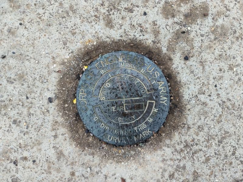
4. Charles Mill Dam Bench Mark
Credits. This page was last revised on May 6, 2025. It was originally submitted on April 12, 2025, by Craig Doda of Napoleon, Ohio. This page has been viewed 233 times since then and 52 times this year. Photos: 1, 2, 3, 4. submitted on April 12, 2025, by Craig Doda of Napoleon, Ohio. • Devry Becker Jones was the editor who published this page.
