Mifflin Township near Ashland in Ashland County, Ohio — The American Midwest (Great Lakes)
Charles Mill Dam
Photographed by Craig Doda, April 5, 2025
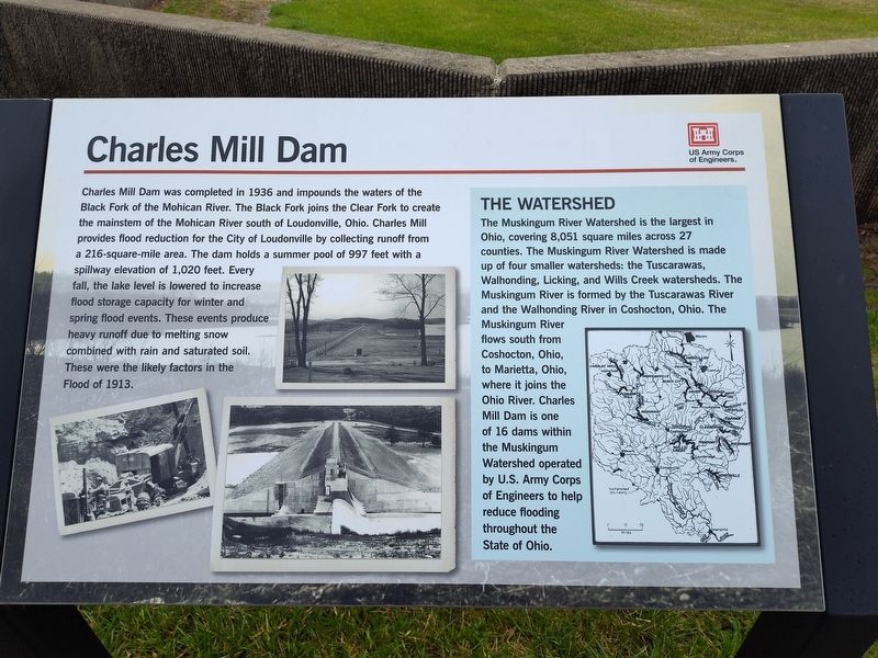
1. Charles Mill Dam Marker
Charles Mill Dam was completed in 1936 and impounds the waters of the Black Fork of the Mohican River. The Black Fork joins the Clear Fork to create the mainstem of the Mohican River south of Loudonville, Ohio. Charles Mill provides flood reduction for the City of Loudonville by collecting runoff from a 216-square-mile area. The dam holds a summer pool of 997 feet with a spillway elevation of 1,020 feet. Every fall, the lake level is lowered to increase flood storage capacity for winter and spring flood events. These events produce heavy runoff due to melting snow combined with rain and saturated soil. These were the likely factors in the Flood of 1913.
The Watershed
The Muskingum River Watershed is the largest in Ohio, covering 8,051 square miles across 27 counties. The Muskingum River Watershed is made up of four smaller watersheds: the Tuscarawas, Walhonding, Licking, and Wills Creek watersheds. The Muskingum River is formed by the Tuscarawas River and the Walhonding River in Coshocton, Ohio. The Muskingum River flows south from Coshocton, Ohio, to Marietta, Ohio, where it joins the Ohio River. Charles Mill Dam is
this page online
Erected by US Army Corps of Engineers.
Topics. This historical marker is listed in these topic lists: Charity & Public Work • Industry & Commerce • Waterways & Vessels. A significant historical year for this entry is 1936.
Location. 40° 44.388′ N, 82° 21.472′ W. Marker is near Ashland, Ohio, in Ashland County. It is in Mifflin Township. It is on Ohio Route 603 0.3 miles north of County Route 2256, on the right when traveling south. Touch for map. Marker is at or near this postal address: 2203 State Route 603, Ashland OH 44805, United States of America. Touch for directions.

Regionally, this marker is in Amish Country. It is also in the American Midwest. Globally, it is in North America, the Western Hemisphere, the Western World, and the Anglosphere. Historically, it finds itself in what was once the Haudenosaunee (Iroquois) Confederacy, the territory of the Mississippian Culture, and the Northwest Territory.
Other nearby markers. At least 8 other markers are within 4 miles
Photographed by Craig Doda, April 5, 2025
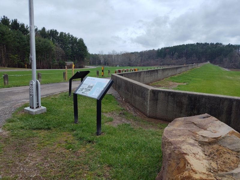
2. Charles Mill Dam Marker
Credits. This page was last revised on May 6, 2025. It was originally submitted on April 12, 2025, by Craig Doda of Napoleon, Ohio. This page has been viewed 194 times since then and 25 times this year. Photos: 1, 2. submitted on April 12, 2025, by Craig Doda of Napoleon, Ohio. • Devry Becker Jones was the editor who published this page.
