
Needham in Norfolk County, Massachusetts — The American Northeast (New England)
Town of Needham
Photographed by Conrad Ward, November 16, 2024
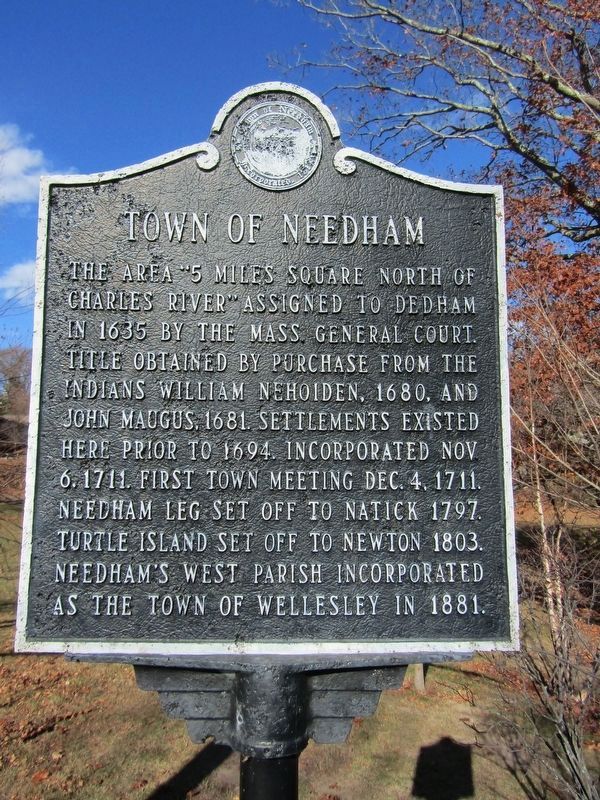
1. Town of Needham Marker
The area "5 miles square north of Charles River" assigned to Dedham in 1635 by the Mass General Court. Title obtained by purchase from the Indians William Nehoiden, 1680, and John Maugus, 1681. Settlements existed here prior to 1694. Incorporated Nov 6, 1711. First town meeting Dec. 4, 1711. Needham leg set off to Natick 1797. Turtle island set off to Newton 1803. Needham's west parish incorporated as the town of Wellesley in 1881.
Erected by Town of Needham.
Topics. This historical marker is listed in these topic lists: Indigenous Peoples and Communities • Settlements & Settlers. A significant historical date for this entry is November 6, 1711.
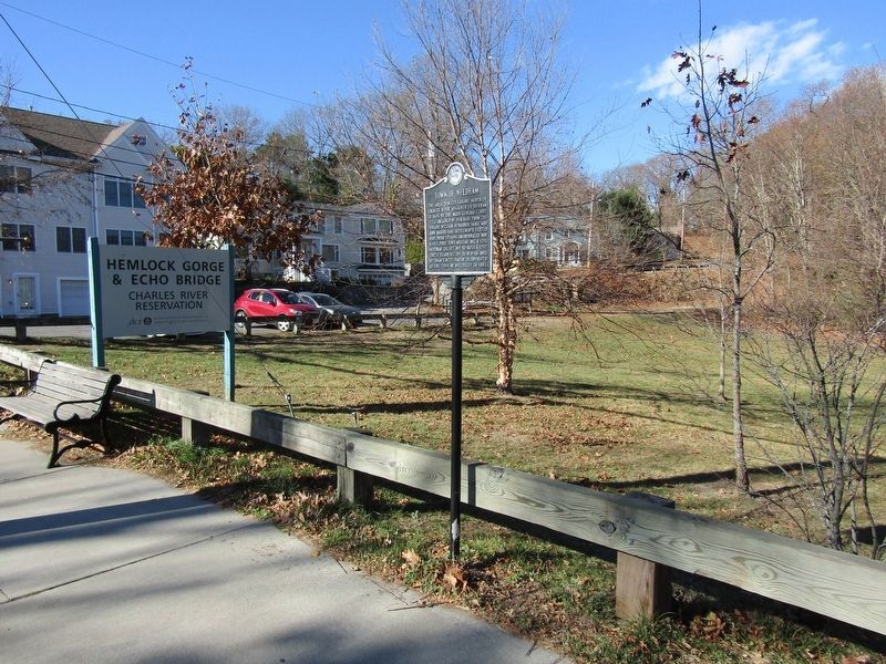
Location. 42° 18.75′ N, 71° 13.641′ W. Marker is in Needham, Massachusetts, in Norfolk County. It is on Elliot Street, on the right when traveling west. Touch for map. Marker is in this post office area: Needham Heights MA 02494, United States of America. Touch for directions.

Regionally, this marker is in Greater Boston. It is also in the American Northeast, in New England, and on the Eastern Seaboard. Globally, it is in the North Atlantic Region, North America, the Western
this page online
Other nearby markers. At least 8 other markers are within 4 miles of this marker, measured as the crow flies: Cook's Bridge (a few steps from this marker); First Church in Old U.F. Village (approx. ¼ mile away); Brian E. Yates (approx. 0.4 miles away); Civil War Soldiers Monument (approx. 1.7 miles away); Near This Spot (approx. 1.8 miles away); Site of Early Meeting House (approx. 2.7 miles away); East Parish Burying Ground (approx. 2.7 miles away); Roberts Paper Mill (approx. 3.4 miles away).
Photographed by Conrad Ward, November 16, 2024
2. Town of Needham Marker
Credits. This page was last revised on April 18, 2025. It was originally submitted on April 13, 2025, by Conrad Ward of Guilford, Connecticut. This page has been viewed 173 times since then and 30 times this year. Photos: 1, 2. submitted on April 13, 2025, by Conrad Ward of Guilford, Connecticut. • Andrew Ruppenstein was the editor who published this page.
