Near Omak in Okanogan County, Washington — The American West (Northwest)
St. Mary's Mission
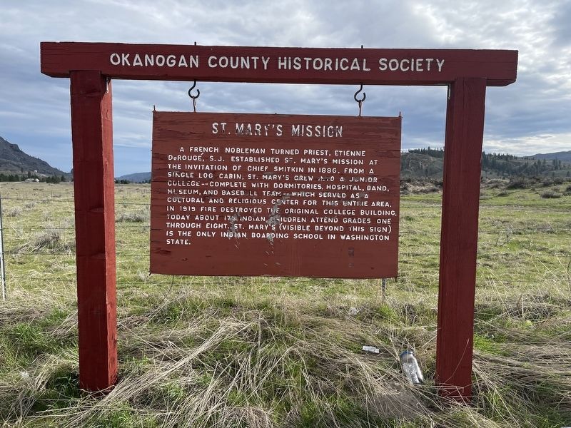
Photographed by Mark Teshera, April 10, 2025
1. St. Mary's Mission Marker
Erected by Okanogan County Historical Society.
Topics. This historical marker is listed in these topic lists: Education • Indigenous Peoples and Communities • Settlements & Settlers. A significant historical year for this entry is 1886.
Location. 48° 23.532′ N, 119° 27.474′ W. Marker is near Omak, Washington, in Okanogan County. It is on Washington 155 east of U.S. 97. Touch for map. Marker is at or near this postal address: 7674 WA-155, Omak WA 98841, United States of America. Touch for directions.

Regionally, this marker is in the Okanogan Highlands. It is also in the
this page online
Other nearby markers. At least 7 other markers are within 12 miles of this marker, measured as the crow flies: Okanogan County World War I Memorial (approx. 6 miles away); 1919- Baines Building (approx. 6 miles away); 1925 - Cariboo Hotel (approx. 6 miles away); Riverside (approx. 8 miles away); The Curtis Sheep Slaughter (approx. 9.9 miles away); The Cariboo Trail (approx. 9.9 miles away); Scotch Creek Basin (approx. 12.1 miles away).

Photographed by Mark Teshera, April 10, 2025
2. St. Mary's Mission Marker
Credits. This page was last revised on April 14, 2025. It was originally submitted on April 13, 2025, by Mark Teshera of Oroville, Washington. This page has been viewed 295 times since then and 130 times this year. Photos: 1, 2. submitted on April 13, 2025, by Mark Teshera of Oroville, Washington. • James Hulse was the editor who published this page.
