Pineville in Berkeley County, South Carolina — The American South (South Atlantic)
S.C.O.P.E. Freedom House
Photographed by J. J. Prats, March 25, 2025
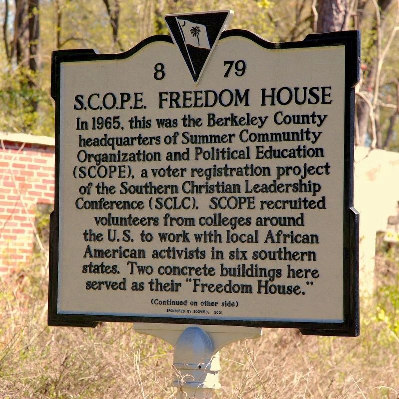
1. S.C.O.P.E. Freedom House Marker, Side Two
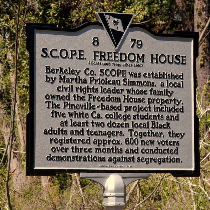
Berkeley County SCOPE was established by Martha Prioleau Simmons, a local civil rights leader whose family owned the Freedom House property. The Pineville-based project included five white California college students and at least two dozen local Black adults and teenagers. Together, they registered approx. 600 new voters over three months and conducted demonstrations against segregation.
Erected 2021 by Department of Archives and History. Sponsored by SCOPE50. (Marker Number 8-79.)
Topics. This historical marker is listed in these topic lists: African Americans • Civil Rights. A significant historical year for this entry is 1965.
Location. 33° 25.633′ N, 79° 59.435′ W. Marker is in Pineville, South Carolina,
this page online

Regionally, this marker is in the Lowcountry and in Santee Cooper Country. It is also in the American South, specifically in the Deep South, and on the Eastern Seaboard. Globally, it is in the North Atlantic Region, North America, the Western Hemisphere, the Western World, and the Anglosphere. Historically, it finds itself in what was once the territory of the Mississippian Culture, one of the original Thirteen Colonies, one of the Confederate States of America, and the Antebellum South.
Other nearby markers. At least 8 other markers are within 5 miles of this marker, measured as the crow flies: Thomas Walter (approx. 0.9 miles away); Maham Plantation (approx. 1.7 miles away); Maham Plantation / Col. Hezekiah Maham (approx. 2 miles away); Village of Pineville (approx. 2.2 miles away); DeWitt Williams Bridge (approx. 2.3 miles away); St. Stephens Veterans Monument
Photographed by J. J. Prats, March 25, 2025
2. S.C.O.P.E. Freedom House Marker, Side One
Also see . . . The 1965 Boycott of St. Stephens (PDF). This letter was the result of an August 1965 meeting in the Pineville community probably chaired by Martha Prioleau Simmons, who arranged to have SCOPE workers there. As reported here by SCOPE volunteer Sherie Labedis, the grammar school had recently been set on fire and there were beatings of community members, and a boycott of White businesses in St. Stephens by the Black residents of Pineville was in progress. Ms. Labedis reports that the boycott lasted into December. Excerpt:
The boycott of the White places of business in St. Stephen by the Negro citizens of this area is proving effective. When the Whites find that they are losing money and decide to negotiate this list Of grievances will be presented to them:(Submitted on April 14, 2025.)
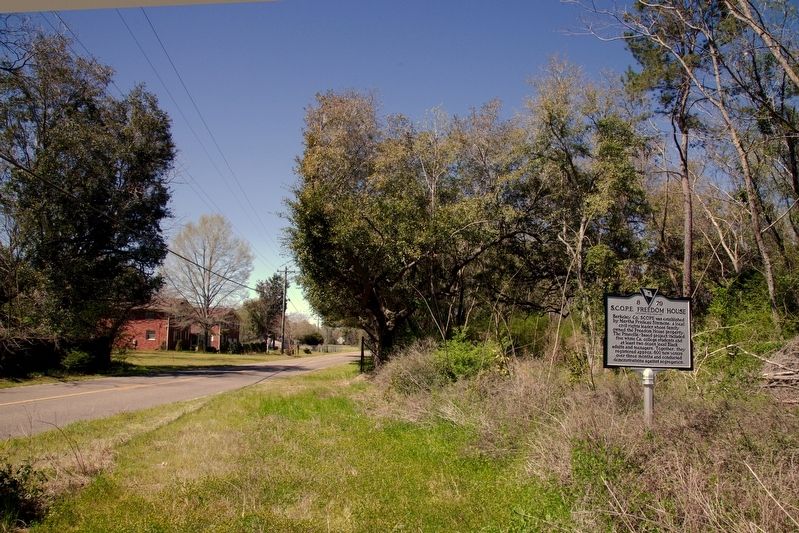
1. The fact that signs and posters by the Klan telling of their rallies and telling Negroes to stay out of St. Stephen were permitted to be put up by the people in St. Stephen.And further that these people support the Klan.Photographed by J. J. Prats, March 25, 20253. S.C.O.P.E. Freedom House Marker
2. It is dangerous to walk along roads both day and night because people are shot at and things are thrown.
3. There are no public rest rooms in St. Stephen.
4. More police protection is needed. And, Negroes are not receiving justice under the law.
5. There is no bus station, just a bus stop.
6. There are threats and intimidation, for example, a bomb scare.
. . .
(list continues)
Photographed by J. J. Prats, March 25, 2025
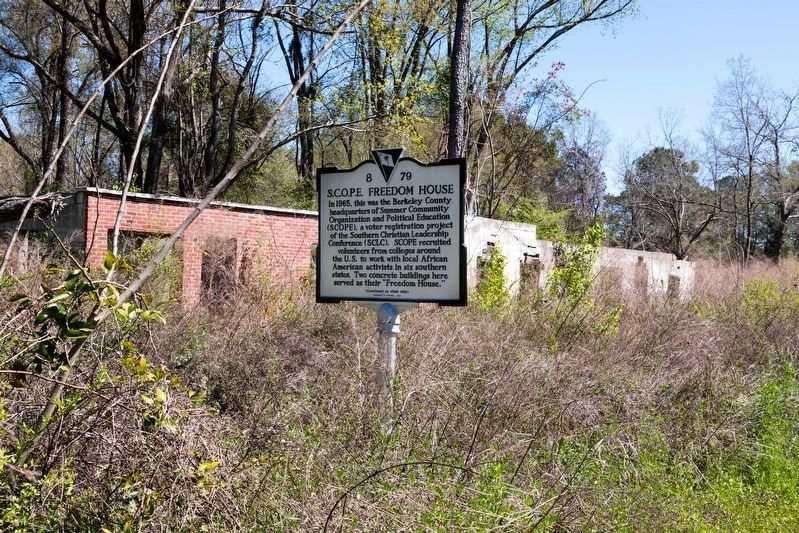
4. The Ruins of the S.C.O.P.E. Freedom House and the Marker
Credits. This page was last revised on April 14, 2025. It was originally submitted on April 14, 2025, by J. J. Prats of Powell, Ohio. This page has been viewed 322 times since then and 58 times this year. Photos: 1, 2, 3, 4. submitted on April 14, 2025, by J. J. Prats of Powell, Ohio.
