
Cresson in Parker County, Texas — The American South (West South Central)
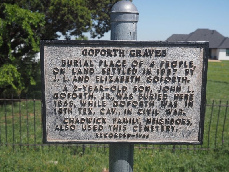
Goforth Graves

Photographed by Gary Estep, February 15, 2026
1. Goforth Graves Marker
Erected 1966 by State Historical Survey Committee. (Marker Number 2196.)
Topics. This historical marker is listed in this topic list: Cemeteries & Burial Sites. A significant historical year for this entry is 1857.
Location. 32° 34.547′ N, 97° 35.939′ W. Marker is in Cresson, Texas, in Parker County. It can be reached from the intersection of Park Place Circle and Palomino Court. Park on the street to walk to this marker. The homeowners near the marker do not want people pulling their cars on to the grass. Touch for map. Marker is at or near this postal address: 212 Park Pl Cir, Cresson TX 76035, United States of America. Touch for directions.

Regionally, this marker is in the Prairies & Lakes Region and in the Dallas-Fort Worth Metropolitan Area. Globally, it is in North America, a Gulf of Mexico state, the Western Hemisphere, the Western World,
this page online
Other nearby markers. At least 8 other markers are within 9 miles of this marker, measured as the crow flies: Dennis Methodist Church (approx. 0.3 miles away); Goforth Cemetery (approx. 3 miles away); Cresson School (approx. 3.3 miles away); Bruce-Davis House (approx. 3.3 miles away); Parsons Station (approx. 6.8 miles away); Baker Community (approx. 7½ miles away); Aledo United Methodist Church (approx. 8.4 miles away); City of Aledo (approx. 8.4 miles away). Touch for a list and map of all markers in Cresson.
Photographed by Matthew G French, April 11, 2025
2. Goforth Graves Marker
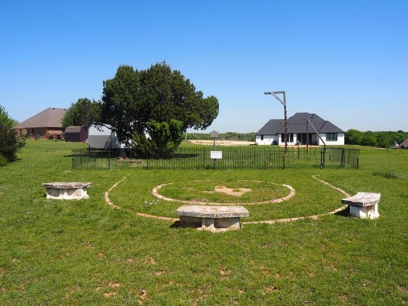
Photographed by Matthew G French, April 11, 2025
3. Goforth Graves Marker
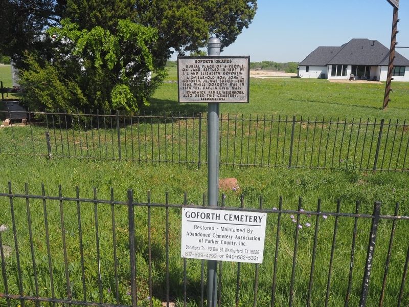
Photographed by Matthew G French, April 11, 2025
4. Goforth Graves Marker
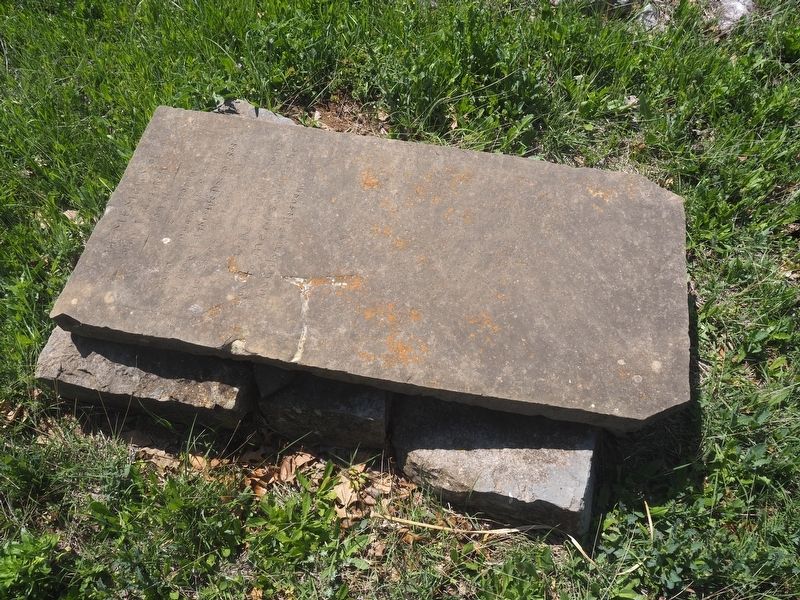
Photographed by Matthew G French, April 11, 2025
5. Goforth Graves Marker
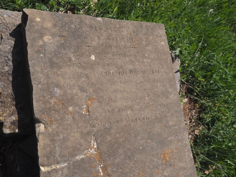
Photographed by Matthew G French, April 11, 2025
6. Goforth Graves Marker
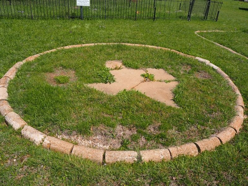
Photographed by Matthew G French, April 11, 2025
7. Goforth Graves Marker
Credits. This page was last revised on February 16, 2026. It was originally submitted on April 14, 2025, by Matthew G French of Fort Worth, Texas. This page has been viewed 285 times since then and 79 times this year. Photos: 1. submitted on February 15, 2026, by Gary Estep of Anna, Texas. 2, 3, 4, 5, 6, 7. submitted on April 14, 2025, by Matthew G French of Fort Worth, Texas. • James Hulse was the editor who published this page.
