Oklahoma City in Oklahoma County, Oklahoma — The American South (West South Central)
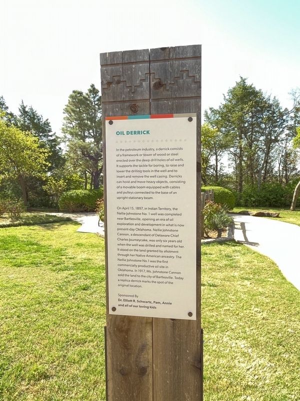
Oil Derrick
Photographed by Thomas Smith, April 12, 2025
1. Oil Derrick Marker
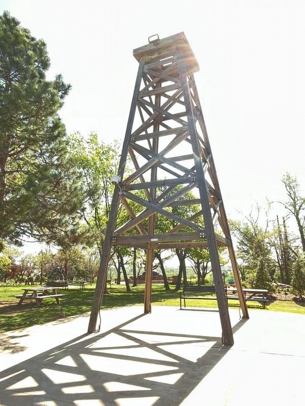
In the petroleum industry, a derrick consists of a framework or tower of wood or steel erected over the deep drill holes of oil wells. It supports the tackle for boring, to raise and lower the drilling tools in the well and to insert and remove the well casing. Derricks can hoist and move heavy objects, consisting of a movable boom equipped with cables and pulleys connected to the base of an upright stationary beam.
On April 15, 1897, in Indian Territory, the Nellie Johnstone No. 1 well was completed near Bartlesville, opening an era of oil exploration and development in what is now present-day Oklahoma. Nellie Johnstone Cannon, a descendant of Delaware Chief Charles journeycake, was only six years old when the well was drilled and named for her. It stood on the land granted by allotment through her Native American ancestry. The Nellie Johnstone No 1 was the first commercially productive oil site in Oklahoma. In 1917, Ms. Johnstone Cannon sold the land to the city of Bartlesville. Today a replica derrick marks the spot of the original location.
Topics. This historical marker is listed in these
this page online
Location. 35° 32.075′ N, 97° 28.986′ W. Marker is in Oklahoma City, Oklahoma, in Oklahoma County. It is on NE 63rd Street near NE 66th Street. The marker is at the National Cowboy and Western Heritage Museum. Touch for map. Marker is at or near this postal address: 1700 NE 63rd St, Oklahoma City OK 73111, United States of America. Touch for directions.

Regionally, this marker is in Central Oklahoma — Frontier Country. It is also in the American South, specifically on the prairies, and on the Southern Plains. Globally, it is in North America, the Western Hemisphere, the Western World, and the Anglosphere. Historically, it finds itself in what was once the territory of the Mississippian Culture and also the Louisiana Purchase.
Other nearby markers. At least 8 other markers are within walking distance of this marker: Tornado (within shouting distance of this marker); Chahiksichahiks (within shouting distance of this marker); Chikasha Aittafama (within shouting distance of this marker); Rikllsu (Corn) (within shouting distance
Photographed by Thomas Smith, April 12, 2025
2. Oil Derrick
Credits. This page was last revised on April 18, 2025. It was originally submitted on April 14, 2025, by Thomas Smith of Waterloo, Ill. This page has been viewed 216 times since then and 30 times this year. Photos: 1, 2. submitted on April 14, 2025, by Thomas Smith of Waterloo, Ill. • J. Makali Bruton was the editor who published this page.
