Harpersfield Township near Geneva in Ashtabula County, Ohio — The American Midwest (Great Lakes)
Harpersfield Covered Bridge
Photographed by Mike Wintermantel, August 10, 2018
1. Harpersfield Covered Bridge Marker
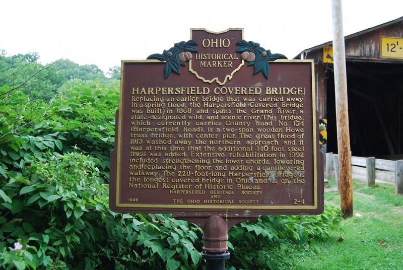
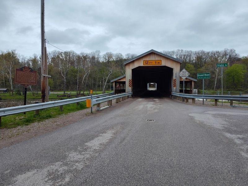
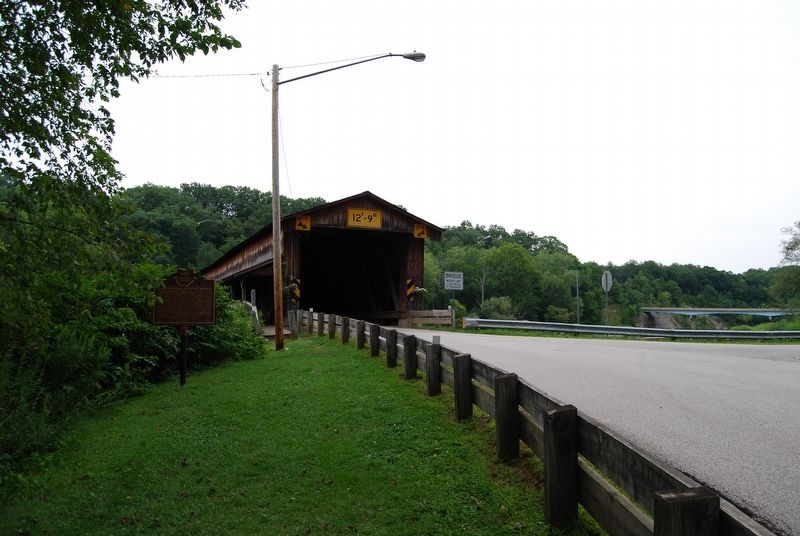
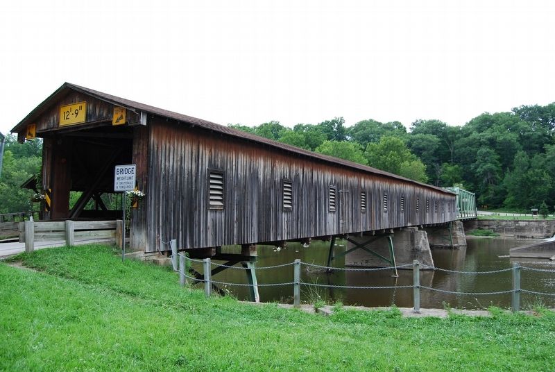
Replacing an earlier bridge that was carried away in a spring flood, the Harpersfield Covered Bridge was built in 1868 and spans the Grand River, a state-designated wild, and scenic river. This bridge, which currently carries County Road #154 (Harpersfield Road), is a two-span wooden Howe truss bridge, with center pier. The great flood of 1913 washed away the northern approach and it was at this time that the additional 140 foot steel truss was added. Extensive rehabilitation in 1992 included strengthening the lower chords, lowering and replacing the floor, and adding a cantilevered walkway. The 228-foot-long Harpersfield Bridge is the longest covered bridge in Ohio and is on the National Register of Historic Places.
Erected 1996 by Harpersfield Heritage Society and The Ohio Historical Society. (Marker Number 2-4.)
Topics and series. This historical marker is listed in these topic lists: Bridges & Viaducts • Waterways & Vessels. In addition, it is included in the Covered Bridges, and the Ohio Historical Society / The Ohio History Connection series lists. A significant historical year for this entry is 1868.
Location. Marker is missing. It was located
this page online

Regionally, this marker was on Ohio’s Lake Erie Shore and in the Western Reserve. It was also in the American Midwest. Globally, it was in North America, on the Great Lakes, in the Western Hemisphere, in the Western World, and in the Anglosphere. Historically, it found itself in what was once the Haudenosaunee (Iroquois) Confederacy, the territory of the Mississippian Culture, and the Northwest Territory.
Other nearby markers. At least 8 other markers are within 4 miles of this location, measured as the crow flies: A different marker also named Harpersfield Covered Bridge (about 300 feet away, measured in a direct line); Harpersfield Township Veterans Memorial (approx. 0.3 miles away); Harpersfield
Photographed by Craig Doda, May 2, 2026
2. Harpersfield Covered Bridge Marker
Also see . . . Harpersfield Covered Bridge. Ashtabula County MetroParks website entry (Submitted on August 11, 2018, by Mike Wintermantel of Pittsburgh, Pennsylvania.)
Photographed by Mike Wintermantel, August 10, 2018
3. Harpersfield Covered Bridge Marker
Photographed by Mike Wintermantel, August 10, 2018
4. Harpersfield Covered Bridge Marker
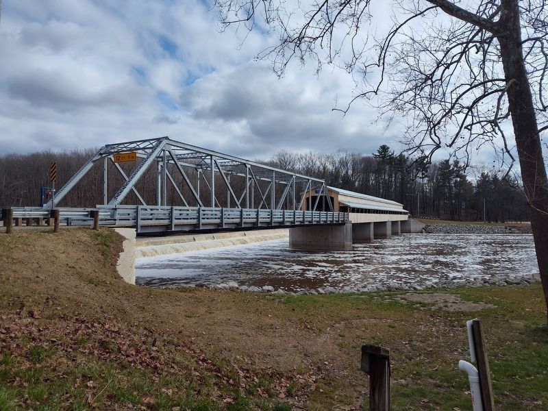
Photographed by Craig Doda, April 12, 2025
5. Harpersfield Covered Bridge Marker
This bridge was dismantled in 2023.
Credits. This page was last revised on May 8, 2026. It was originally submitted on August 11, 2018, by Mike Wintermantel of Pittsburgh, Pennsylvania. This page has been viewed 684 times since then and 52 times this year. Last updated on May 7, 2026, by Craig Doda of Napoleon, Ohio. Photos: 1. submitted on August 11, 2018, by Mike Wintermantel of Pittsburgh, Pennsylvania. 2. submitted on May 7, 2026, by Craig Doda of Napoleon, Ohio. 3, 4. submitted on August 11, 2018, by Mike Wintermantel of Pittsburgh, Pennsylvania. 5. submitted on April 15, 2025, by Craig Doda of Napoleon, Ohio. • Devry Becker Jones was the editor who published this page.
