Eyre Square in Galway in County Galway, Connacht, Ireland — Irish West ((Éire) North Atlantic Ocean)
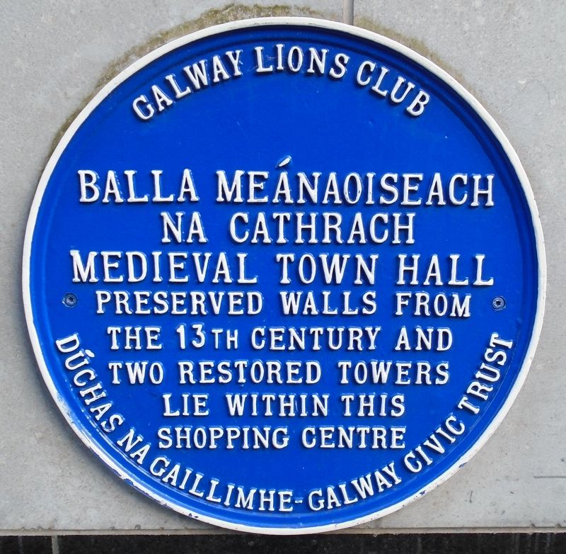
Medieval Town Hall/Balla Meánaoiseach na Cahtrach
Photographed by William Fischer, Jr., April 6, 2025
1. Medieval Town Hall/Balla Meánaoiseach na Cahtrach Marker

two restored towers lie within
this shopping centre
Erected by Galway Lions Club and
Topics and series. This historical marker is listed in these topic lists: Architecture • Colonial Era • Settlements & Settlers. In addition, it is included in the Ireland, Galway Lions Club Heritage Walking Trail series list.
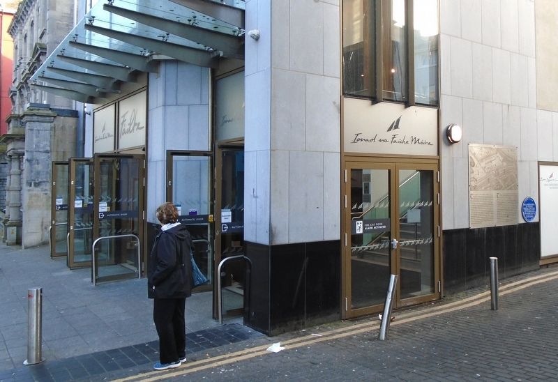
Location. 53° 16.421′ N, 9° 2.963′ W. Marker is in Galway, Connacht, in County Galway. It is in Eyre Square. It is at the intersection of Eyre Square/An Faiche Mohr and Ballalley Lane, on the right when traveling south on Eyre Square/An Faiche Mohr. Marker is near the Eyre Square Centre east entrance opposite Eyre Square. Touch for map. Marker is in this post office area: Galway, Connacht H91 D527, Ireland. Touch for directions.

Regionally, it is on the Atlantic Ocean, in the North Atlantic Region, on the Atlantic Arc, in Europe, on the Island of Ireland, on the Celtic Fringe, in the European Union, in Atlantic Europe, on one of the British Isles,
this page online
Other nearby markers. At least 8 other markers are within walking distance of this marker: History of Eyre Square (here, next to this marker); Pádraic Ó Conaire (1882-1928) (within shouting distance of this marker); John Fitzgerald Kennedy (about 90 meters away, measured in a direct line); Doras de Brun / The Browne Doorway (about 120 meters away);
Photographed by William Fischer, Jr., April 6, 2025
2. Medieval Town Hall/Balla Meánaoiseach na Cahtrach Marker
Photographed by William Fischer, Jr., April 7, 2025
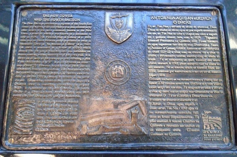
3. Medieval Town Hall/Balla Meánaoiseach na Cahtrach Marker
Photographed by William Fischer, Jr., April 7, 2025
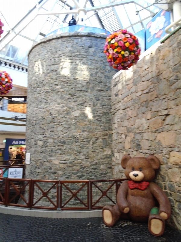
4. Medieval Town Hall Tower
Photographed by William Fischer, Jr., April 7, 2025
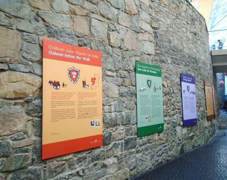
5. Medieval Town Hall Wall
Credits. This page was last revised on December 3, 2025. It was originally submitted on April 19, 2025, by William Fischer, Jr. of Reynoldsburg, Ohio. This page has been viewed 108 times since then and 20 times this year. Photos: 1, 2. submitted on April 19, 2025, by William Fischer, Jr. of Reynoldsburg, Ohio. 3, 4, 5. submitted on April 23, 2025, by William Fischer, Jr. of Reynoldsburg, Ohio.
