Galway in County Galway, Connacht, Ireland — Irish West ((Éire) North Atlantic Ocean)
The Arms of Galway from one of the Town Fortifications
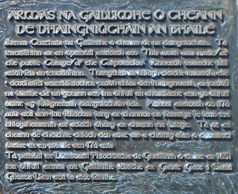
Armas na Gaillimhe ó Cheann de Dhainghiúchain an Bhaile
Photographed by William Fischer, Jr., April 7, 2025
1. The Arms of Galway from one of the Town Fortifications Marker

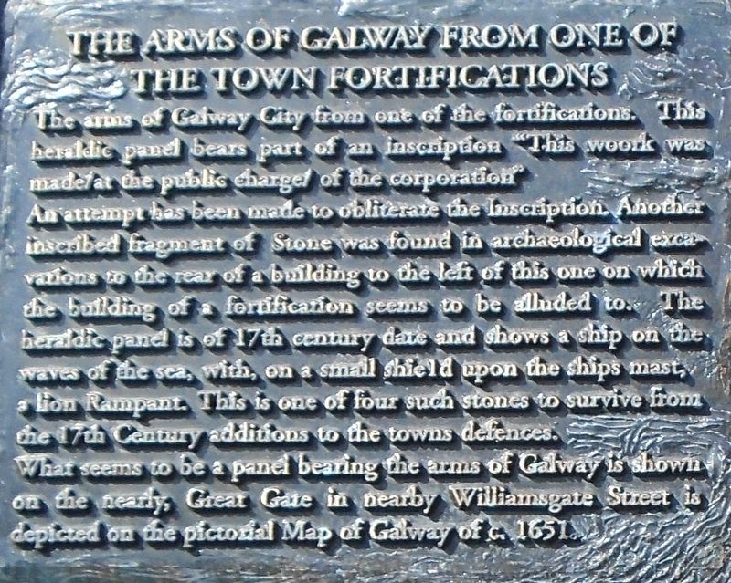
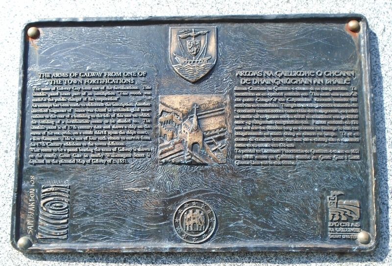
The arms of Galway City from one of the fortifications. This heraldic panel bears part of an inscription "This woork was made /at the public charge/ of the corporation"
An attempt has been made to obliterate the Inscription. Another inscribed fragment of Stone was found in archaeological excavations to the rear of a building to the left of this one on which the building of a fortification seems to be alluded to. The heraldic panel is of 17th century date and shows a ship on the waves of the sea, with, on a small shield upon the ships mast, a lion Rampant. This is one of four such stones to survive from the 17th Century additions to the towns defences.
What seems to be a panel bearing the arms of Galway is shown on the nearly, Great Gate in nearby Williamsgate Street is depicted on the pictorial Map of Galway of c. 1651.
this page online
Ta paineal ar Learsceail Phictiurcha de Ghaillimh o thurc ar 1651 ina bhfuil armas na Gaillimhe leiriche ar Great Gate i Stind Gheata Liam ata in aice laimhe.
Erected by Galway Civic Trust/
Topics. This historical marker is listed in these topic lists: Architecture • Colonial Era • Forts and Castles. A significant historical year for this entry is 1651.
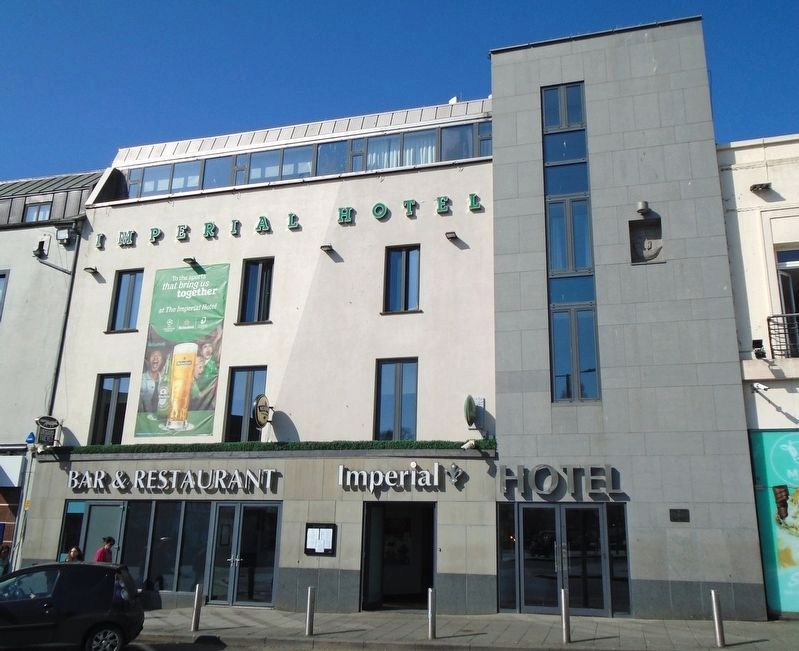
Location. 53° 16.48′ N, 9° 3.049′ W. Marker is in Galway, Connacht, in County Galway. It is at the intersection of Eyre Square (Connacht Route 866) and Rosemary Avenue, on the left when traveling west on Eyre Square. Touch for map. Marker is at or near this postal address: 35 Eyre Square, Galway, Connacht H91 X529, Ireland. Touch for directions.

Regionally,
Photographed by William Fischer, Jr., April 7, 2025
2. The Arms of Galway from one of the Town Fortifications Marker
Other nearby markers. At least 8 other markers are within walking distance of this marker:
Photographed by William Fischer, Jr., April 7, 2025
3. The Arms of Galway from one of the Town Fortifications Marker
Photographed by William Fischer, Jr., April 7, 2025
4. The Arms of Galway from one of the Town Fortifications Marker
Credits. This page was last revised on December 3, 2025. It was originally submitted on April 20, 2025, by William Fischer, Jr. of Reynoldsburg, Ohio. This page has been viewed 133 times since then and 20 times this year. Photos: 1, 2, 3, 4. submitted on April 20, 2025, by William Fischer, Jr. of Reynoldsburg, Ohio.
Editor’s want-list for this marker. Corrections to the Gaelic transcription; marker difficult for non-native speakers to read • Can you help?
