Lyons in Wayne County, New York — The American Northeast (Mid-Atlantic)
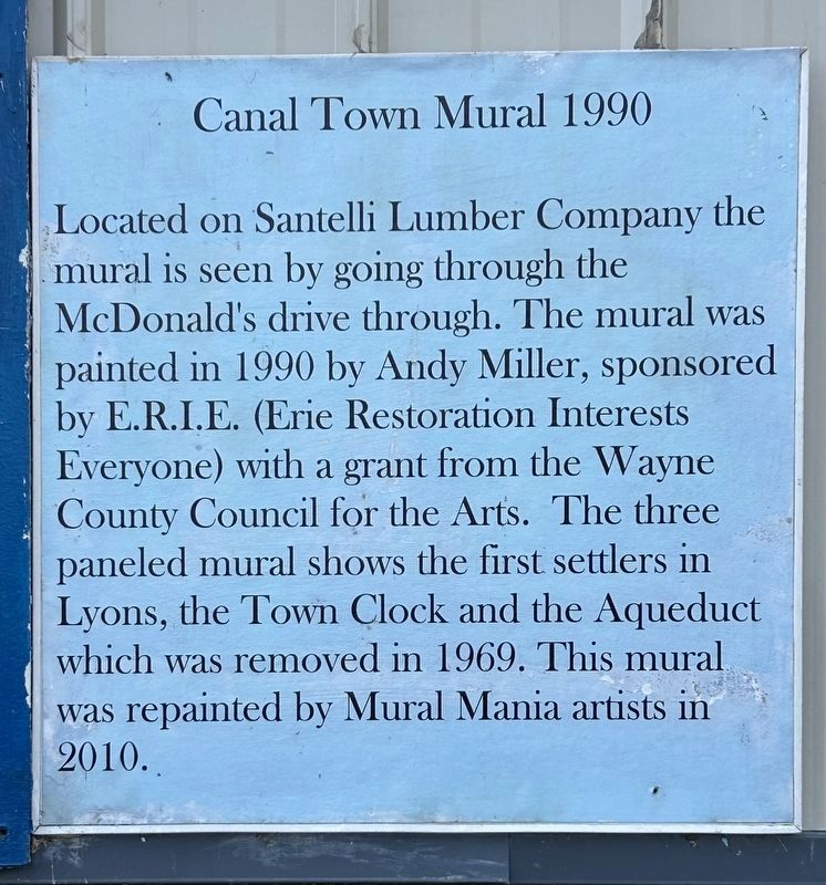
Canal Town Mural 1990
Photographed by Susan A. Dalaba, April 20, 2025
1. Canal Town Mural 1990 Marker
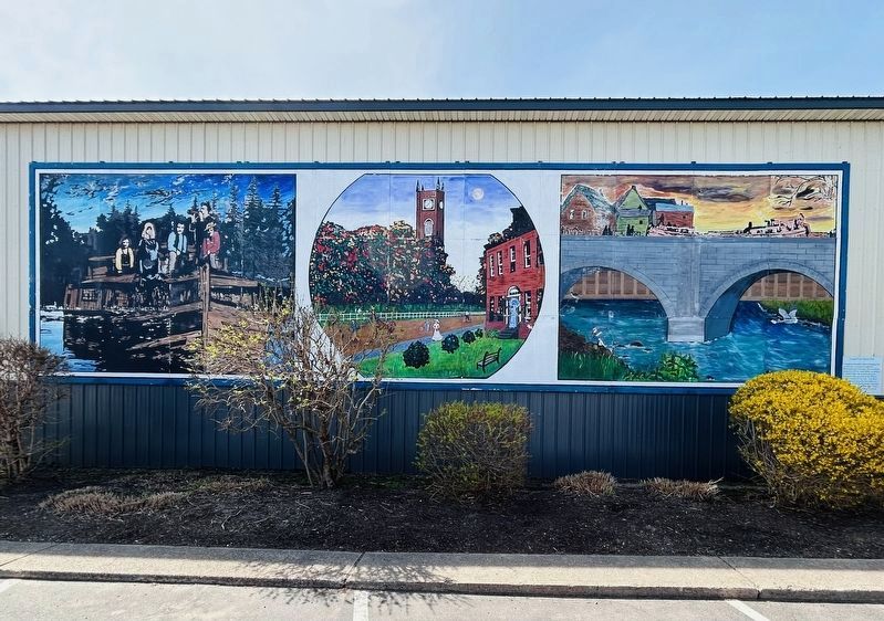
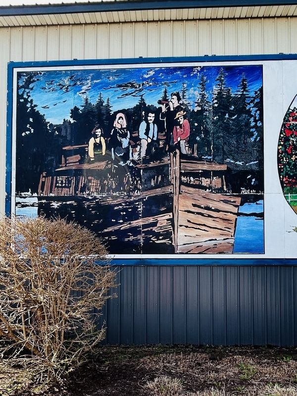
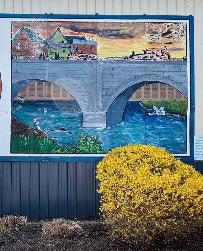
Located on Santelli Lumber Company the mural is seen by going through the McDonald’s drive through. The mural was painted in 1990 by Andy Miller, sponsored by E.R.I.E. (Erie Restoration Interests Everyone) with a grant from the Wayne County Council for the Arts. The three paneled mural shows the first settlers in Lyons, the Town Clerk and the Aqueduct which was renovated in 1969. This mural was repainted by Mural Mania artists in 2010.
Topics. This historical marker is listed in these topic lists: Bridges & Viaducts • Settlements & Settlers • Waterways & Vessels. A significant historical year for this entry is 1990.
Location. 43° 3.629′ N, 76° 59.64′ W. Marker is in Lyons, New York, in Wayne County. It is on Forgham Street (New York State Route 31) west of Geneva Street ( Route 14), on the right when traveling west. Touch for map. Marker is at or near this postal address: 8 Forgham Street, Lyons NY 14489, United States of America. Touch for directions.

Regionally, this marker is in Upstate New York, specifically in Western New York, in the Finger Lakes, and in the Rochester Metropolitan Area. It is also in
this page online
Other nearby markers. At least 8 other markers are within walking distance of this marker: Landing of First Settlers (about 400 feet away, measured in a direct line); New York State Barge Canal (approx. 0.2 miles away); H.G. Hotchkiss (approx. 0.2 miles away); H.G. Hotchkiss/Hotchkiss Essential Oils (approx. 0.2 miles away); Enlarged Erie Canal Lock 55 (approx. 0.2 miles away); The H. G. Hotchkiss Essential Oil Company (approx. 0.2 miles away); H.G. Hotchkiss Peppermint Mural (approx. 0.2 miles away); Battles of the Civil War Memorial (approx. 0.2 miles away). Touch for a list and map of all markers in Lyons.
Photographed by Susan A. Dalaba, April 20, 2025
2. Canal Town Mural 1990 Marker
Photographed by Susan A. Dalaba, April 20, 2025
3. Panel #1 - Early Settlers

Photographed by Susan A. Dalaba, April 20, 2025
4. Panel #2 - Town Clerk
Photographed by Susan A. Dalaba, April 20, 2025
5. Panel #3 - Aqueduct (removed In 1969)
Credits. This page was last revised on May 4, 2025. It was originally submitted on April 21, 2025, by Susan A. Dalaba of Cortland, New York. This page has been viewed 128 times since then and 13 times this year. Photos: 1, 2, 3, 4, 5. submitted on April 21, 2025, by Susan A. Dalaba of Cortland, New York. • Michael Herrick was the editor who published this page.
