Enon in Chesterfield County, Virginia — The American South (Mid-Atlantic)
Federal Reconnaissance on Ashton Creek
| — | The Bermuda Hundred Campaign | — |
Photographed by Evan Dwyer, March 1, 2025
1. Federal Reconnaissance on Ashton Creek Marker
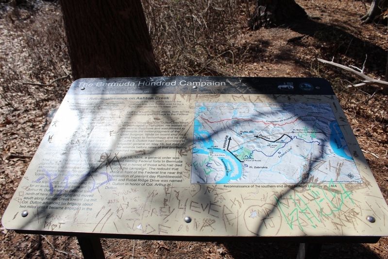
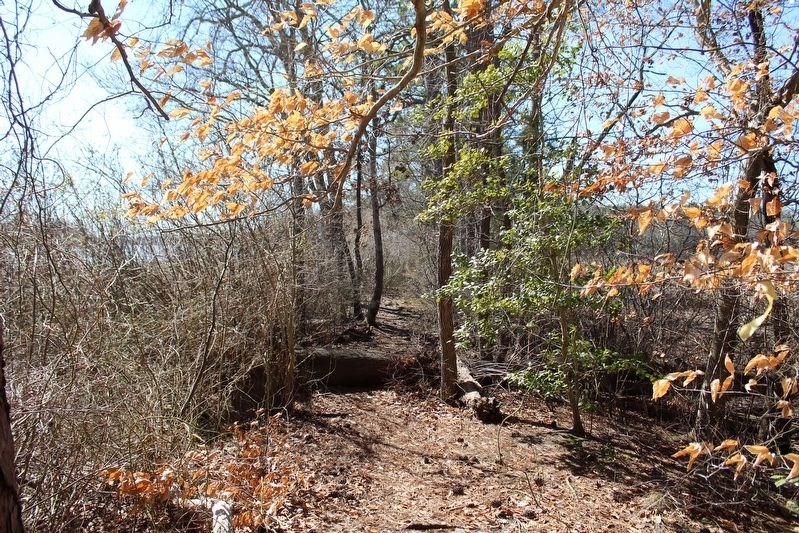
On May 26th, 1864, Federal forces conducted a reconnaissance to see if such a move was possible. Brig. Gen. John H. Martindale sent one force over Ashton Creek on a narrow causeway here and then turned north toward Ruffin Mill.
After gaining the high ground on the opposite bank, Martindale deployed skirmishers and advanced about 1,200 yards before coming into contact with Confederates in the vicinity of the mill. While Martindale was positioning his force for an assault, a second force led by Col. Arthur H. Dutton left the Federal lines north of here (to your right) and moved south along Ashton Creek toward the mill. Col. Dutton advanced his brigade about two miles until it became
this page online
Fearing a Confederate attack, both forces were recalled and fell back to the Federal line.
After his wounding, Col. Dutton was taken to the hospital in Hampton. He wished to be sent to Baltimore and was allowed to go despite the better judgement of the Chief Surgeon. While on board ship his wound began to hemorrhage and died on June 5. Dutton had been promoted to brigadier general on May 16, but died of his wounds before news of that promotion reached him.
On July 15, 1864, a general order was issued naming Federal forts in Bermuda Hundred in honor of those who had died during the campaign. The redoubt that stood in front of the Federal line near the intersection of present day Ramblewood Road and Rebel Ridge Drive was named Ft. Dutton in honor of Col. Arthur H. Dutton.
Erected by Chesterfield County and the Blue & Gray Education Society.
Topics. This historical marker is listed in this topic list: War, US Civil. A significant historical date for this entry is May 26, 1864.
Location. 37° 19.029′ N, 77° 21.222′ W.
Photographed by Evan Dwyer, March 1, 2025
2. Causeway

Regionally, this marker is in the Piedmont, in Central Virginia, and in the Richmond Metropolitan Area. It is also in the American South, specifically in the Upper South, and on the Eastern Seaboard. Globally, it is in the North Atlantic Region, North America, the Western Hemisphere, the Western World, and the Anglosphere. Historically, it finds itself in what was once the territory of the Mississippian Culture, one of the original Thirteen Colonies, one of the Confederate States of America, and the Antebellum South.
Other nearby markers. At least 8 other markers are within
Photographed by Evan Dwyer, March 1, 2025
3. Ashton Creek Earthwork Battery
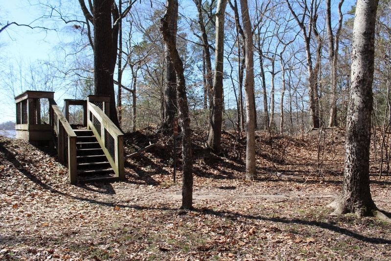
Note the embrasure (cut-out) to the right for a gun to fire through. This small earthen fortification is chevron-shaped and has a staircase over it to preserve the integrity of the work. When originally constructed ca. 1864, it would have had a revetment (interior wall) of sandbags, logs, or wicker barrels filled with dirt to form a vertical surface. Those materials have been removed and/or rotted, causing the dirt to collapse and erode into a lump. That an obvious embrasure remains in a well traversed public park is uncommon.
Credits. This page was last revised on April 25, 2025. It was originally submitted on April 24, 2025, by Evan Dwyer of Richmond, Virginia. This page has been viewed 102 times since then and 18 times this year. Photos: 1, 2, 3. submitted on April 24, 2025, by Evan Dwyer of Richmond, Virginia. • Bernard Fisher was the editor who published this page.
