Arrochar on Staten Island in Richmond County, New York — The American Northeast (Mid-Atlantic)
Arrochar Playground
1.54 acres
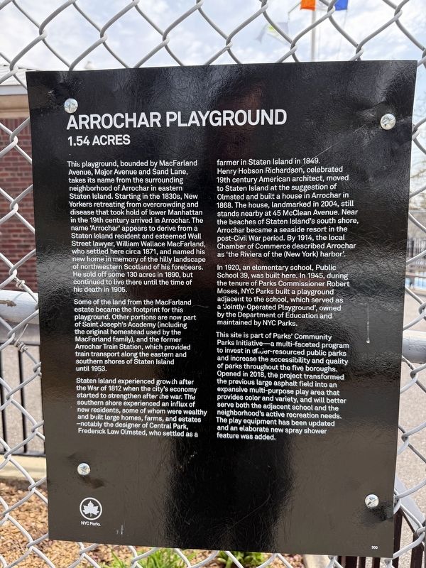
This playground, bounded by MacFarland Avenue, Major Avenue and Sand Lane, takes its name from the surrounding neighborhood of Arrochar in eastern Staten Island. Starting in the 1830s, New Yorkers retreating from overcrowding and disease that took hold of lower Manhattan in the 19th century arrived in Arrochar. The name 'Arrochar' appears to derive from a Staten Island resident and esteemed Wall Street lawyer, William Wallace MacFarland, who settled here circa 1871, and named his new home in memory of the hilly landscape of northwestern Scotland and his forebears. He sold off some 130 acres in 1890, but continued to live there until his death in 1905.
Some of the land from the MacFarland estate became the footprint for this playground. Other portions are now part of Saint Joseph's Academy (including the original homestead used by the MacFarland family), and the former Arrochar Train Station, which provided train transport along the eastern and southern shores of Staten Island until 1953.
Staten Island experienced growth after the War of 1812 when the city's economy started to strengthen after the war. The southern
this page online
In 1920, an elementary school, Public School 39, was built here. In 1945, during the tenure of Parks Commissioner Robert Moses, NYC Parks built a playground adjacent to the school, which served as a 'Jointly-Operated Playground', owned by the Department of Education and maintained by NYC Parks.
This site is part of Parks' Community Parks Initiative—a multi-faceted program to invest in under-resourced public parks and increase the accessibility and quality of Parks throughout
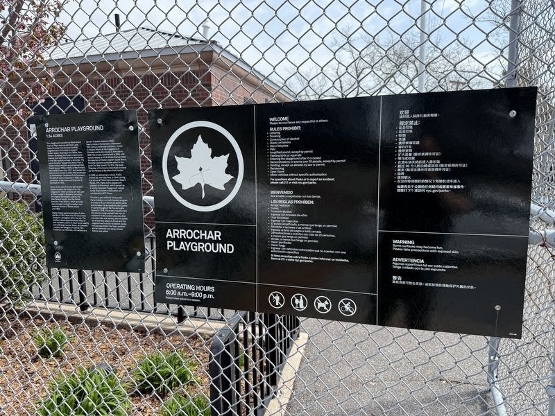
Erected by NYC Parks. (Marker Number 300.)
Topics and series. This historical marker is listed in these topic lists: Education • Industry & Commerce • Parks & Recreational Areas • Settlements & Settlers. In addition, it is included in the NYC Parks series list. A significant historical year for this entry is 1871.
Location. 40° 35.873′ N, 74° 4.28′ W. Marker is on Staten Island, New York, in Richmond County. It is in Arrochar. It is on Major Avenue just east of Sand Lane, on the left when traveling west. Touch for map. Marker is at or near this postal address: 88 Sand Ln, Staten Island NY 10305, United States of America. Touch for directions.

Regionally, this marker is in New York City. It is also in the American Northeast, in the Mid-Atlantic, and on the Eastern Seaboard. Globally, it is in the North Atlantic Region, North America, the Western Hemisphere, the Western World, and the Anglosphere. Historically, it finds itself in what was once New Netherland and also one of the original Thirteen Colonies.
Other nearby markers. At least 8 other markers are within walking distance of this marker: Ladder 81 (about 500 feet away, measured in a direct line); Pvt. Frederick Staats (about 600 feet away); Othmar Hermann Ammann (approx. 0.4 miles away); The Verrazano-Narrows Bridge (approx. 0.4 miles away); Norway Triangle (approx. half a mile away); Michael J. Leonard Memorial Plaza (approx. half a mile away); Corporal Michael J. Leonard Triangle (approx. half a mile away); In Memory of Lieutenant Vincent R. Capodanno (approx. 0.6 miles away). Touch for a list and map of all markers in Staten Island.
Credits. This page was last revised on March 9, 2026. It was originally submitted on April 26, 2025, by Devry Becker Jones of Washington, District of Columbia. This page has been viewed 149 times since then and 29 times this year. Photos: 1, 2. submitted on April 26, 2025, by Devry Becker Jones of Washington, District of Columbia.
Editor’s want-list for this marker. A better wide shot of the marker in context • Can you help?
