Richmond on Staten Island in Richmond County, New York — The American Northeast (Mid-Atlantic)
Site of Richmond County Hall and the Parish House of St. Andrew's Church

Photographed by Devry Becker Jones (CC0), April 19, 2025
1. Site of Richmond County Hall and the Parish House of St. Andrew's Church Marker
This corner was the site of two well-known buildings. From 1829 to 1879, it was the site of Richmond County Hall, a hotel and tavern that was a popular place for political and social gatherings. For many years it was owned and operated by Susan and David R. Ryerson. Susan's obituary in 1901 stated "The place in the old times was the resort of many of the prominent people of the County, and the house was not able for its fine suppers and for the hospitable entertainment of the guests…"
In 1890, St. Andrew's Church purchased the property, demolished the building, and built a new Parish House, which was dedicated in 1892. The Staten Island Advance of June 11, 1892, noted that the first use of the New building was for a strawberry festival.
The Parish House remained in use until 1924, and was demolished in 1929.
Erected by Historic Richmond Town.
Topics. This historical marker is listed in these topic lists: Agriculture • Government & Politics • Industry & Commerce • Religion & Religious Structures. A significant historical date for this entry is June 11, 1892.
Location. 40° 34.315′ N, 74° 8.813′ W. Marker
this page online

Regionally, this marker is in New York City. It is also in the American Northeast, in the Mid-Atlantic, and on the Eastern Seaboard. Globally, it is in the North Atlantic Region, North America, the Western Hemisphere, the Western World, and the Anglosphere. Historically, it finds itself in what was once New Netherland and also one of the original Thirteen Colonies.
Other nearby markers. At least 8 other markers are within walking distance of this marker: Site of the First County Courthouse (1729), Jail (1741), Jailer’s House (1751). (a few steps from this marker); Treasure House (within shouting distance of this marker); Site of the Second County Courthouse (within shouting distance of this marker); Site of the Lighthouse Restaurant (within shouting distance of this marker); Where Does Your Grain Go?
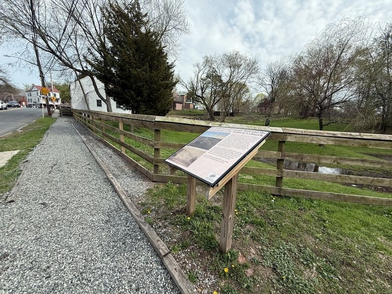
Photographed by Devry Becker Jones (CC0), April 19, 2025
2. Site of Richmond County Hall and the Parish House of St. Andrew's Church Marker
Credits. This page was last revised on April 26, 2025. It was originally submitted on April 26, 2025, by Devry Becker Jones of Washington, District of Columbia. This page has been viewed 139 times since then and 20 times this year. Photos: 1, 2. submitted on April 26, 2025, by Devry Becker Jones of Washington, District of Columbia.
