Port Richmond on Staten Island in Richmond County, New York — The American Northeast (Mid-Atlantic)
Neighborhoods & People
Connecting Neighborhoods
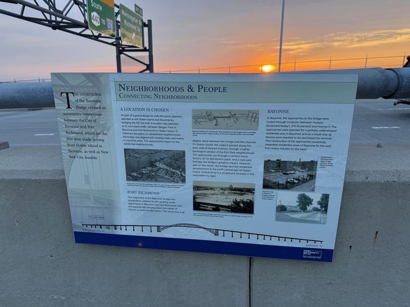
The construction of the Bayonne Bridge created an automotive connection between the City of Bayonne and Port Richmond, which for the first time made driving from Staten Island to Bayonne, as well as New York City, feasible.
A Location Is Chosen
As part of a grand design to unify the ports, planners decided to link Staten Island and Bayonne by bridging the Kill Van Kull. A location was selected at its narrowest width, between Bergen Point in Bayonne and Port Richmond on Staten Island. To minimize disruption on established neighborhoods, the bridge was aligned with existing roads and mainly in industrial areas. This reduced the impact on the residential neighborhoods.
Port Richmond
The alignment of the Bayonne Bridge was designed to connect it with the existing street alignments in Bayonne and Port Richmond, with the approaches passing down the center of blocks to minimize disruption. The result was a 58 degree skew between the bridge and the channel. On Staten Island, the viaduct passed along the west side of Newark Avenue, through a lightly developed section of the Elm Park neighborhood. The approaches ran through
this page online
Bayonne
In Bayonne, the approaches to the bridge were routed through 10 blocks between Hudson Boulevard (today's JFK Boulevard) and Avenue A. The approaches were planned for a partially undeveloped residential area in Bayonne, and as a result only 35 houses were required to be purchased for removal. The construction of the approaches essentially separated residential areas of Bayonne (to the east) from heavy industry (to the west).
Erected by Port Authority of New York and New Jersey.
Topics. This historical marker is listed in these topic lists: Bridges & Viaducts • Industry & Commerce • Settlements & Settlers • Waterways & Vessels. A significant historical year for this entry is 1950.
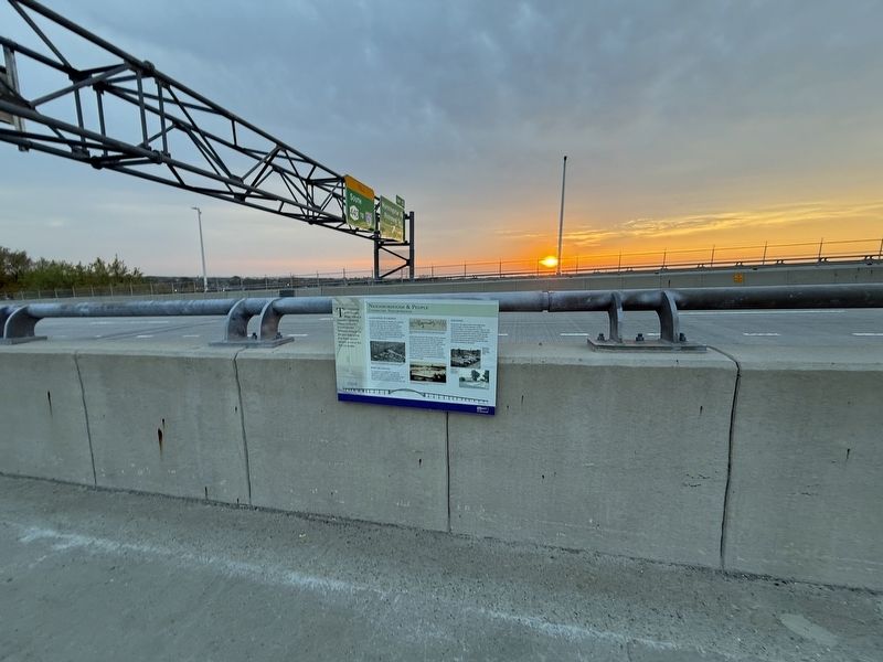
Location. 40° 38.058′ N, 74° 8.701′ W. Marker is on Staten Island, New York, in Richmond County. It is in Port Richmond. It is on Bayonne Bridge

Regionally, this marker is in New York City. It is also in the American Northeast, in the Mid-Atlantic, and on the Eastern Seaboard. Globally, it is in the North Atlantic Region, North America, the Western Hemisphere, the Western World, and the Anglosphere. Historically, it finds itself in what was once New Netherland and also one of the original Thirteen Colonies.
Other nearby markers. At least 8 other markers are within walking distance of this marker: Port Richmond (about 400 feet away, measured in a direct line); Recreation and Leisure (about 400 feet away); The Bayonne Bridge (about 700 feet away); Raising the Roadway (about 700 feet away); Designers and Engineers (approx. 0.2 miles away); Boats and Boxes (approx. 0.3 miles away); Workers and Laborers (approx. 0.4 miles away); Richmond Terrace Park (approx. half a mile away). Touch for a list and map of all markers in Staten Island.
Credits. This page was last revised on April 26, 2025. It was originally submitted on April 26, 2025, by Devry Becker Jones of Washington, District of Columbia. This page has been viewed 85 times since then and 13 times this year. Photos: 1, 2. submitted on April 26, 2025, by Devry Becker Jones of Washington, District of Columbia.
