Allanburg in Thorold in Niagara Region, Ontario — Central Canada (North America)
Welland Ship Canal
Photographed by Kevin Westell, April 26, 2025
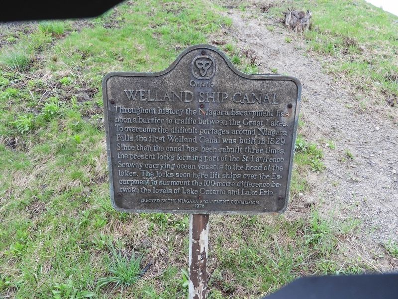
1. Welland Ship Canal Marker
Throughout history the Niagara Escarpment has been a barrier to traffic between the Great Lakes. To overcome the difficult portages around Niagara Falls the first Welland Canal was built in 1829. Since then the canal has been rebuilt three times, the present locks forming part of the St. Lawrence Seaway carrying ocean vessels to the head of the lakes. The locks seen here lift ships over the Escarpment to surmount the 100 metre difference between the levels of Lake Ontario and Lake Erie.
Erected 1976 by The Niagara Escarpment Commission.
Topics and series. This historical marker is listed in these topic lists: Industry & Commerce • Waterways & Vessels. In addition, it is included in the The Welland Canals series list.
Location. 43° 7.99′ N, 79° 11.595′ W. Marker is in Thorold, Ontario, in Niagara Region. It is in Allanburg. It is on Welland Canals Parkway, on the right when traveling north. The plaque is adjacent to the Welland Canal's Lock 5, at the south (upstream) end of the lock, adjacent to roadside parking. Touch for map. Marker is at
this page online

Regionally, this marker is on Ontario’s Golden Horseshoe and in Niagara Canada. It is also in Central Canada. Globally, it is in North America, on the Great Lakes, in the Western Hemisphere, in the Western World, and in the Anglosphere. Historically, it finds itself in what was once a British colony, the Viceroyalty of New France, the Haudenosaunee (Iroquois) Confederacy, and Rupert’s Land.
Other nearby markers. At least 8 other markers are within walking distance of this marker: The Williams-Daboll House 1876 / The Williams-Daboll Oak, ca. 1820 (approx. 0.3 kilometers away); Opening of the First Welland Canal (approx. 0.8 kilometers away); Maplehurst 1886 (approx. 0.8 kilometers away); a different marker also named Maplehurst 1886 (approx. 0.8 kilometers away); The Smerdon-Buss House c. 1915 (approx. 0.8 kilometers away); The Dobbie House c. 1873 (approx. 0.8 kilometers away); Dobbie House 1875 (approx. 0.8 kilometers away); Carroll-Tracy House c. 1865 (approx. 0.9 kilometers away). Touch for a list and map
Photographed by Kevin Westell, April 26, 2025
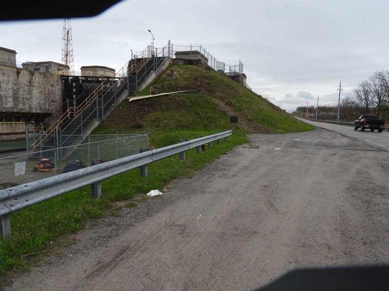
2. Plaque in context
... showing plaque, Welland Canals Parkway, roadside parking, and the gates between locks 5 and 6.
Credits. This page was last revised on April 29, 2025. It was originally submitted on April 27, 2025, by Kevin Westell of St. Catharines, Ontario. This page has been viewed 154 times since then and 26 times this year. Photos: 1, 2. submitted on April 27, 2025, by Kevin Westell of St. Catharines, Ontario. • Andrew Ruppenstein was the editor who published this page.
