West Chester in Chester County, Pennsylvania — The American Northeast (Mid-Atlantic)
Barclay Park
Saving This Historic Open Space
Photographed by William Fischer, Jr., April 26, 2025
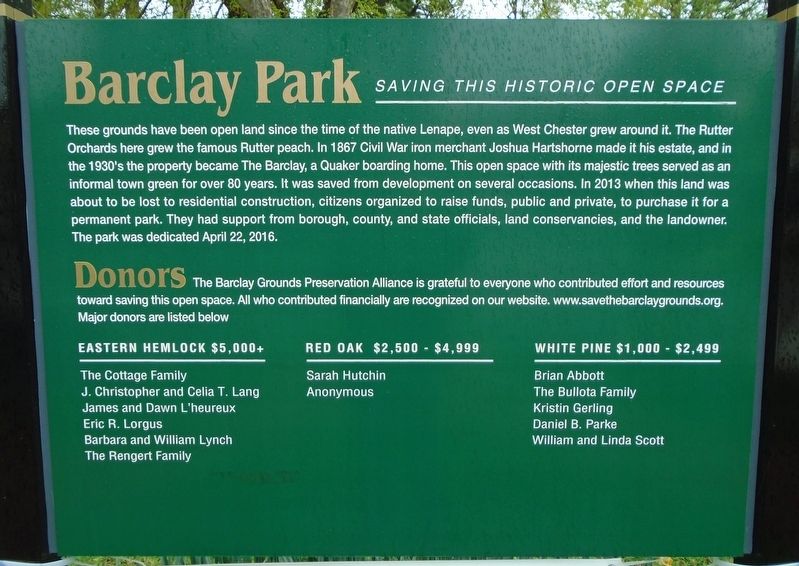
1. Barclay Park Marker
These grounds have been open land since the time of the native Lenape, even as West Chester grew around it. The Rutter Orchards here grew the famous Rutter peach. In 1867 Civil War iron merchant Joshua Hartshorne made it his estate, and in the 1930's the property became The Barclay, a Quaker boarding home. This open space with its majestic trees served as an informal town green for over 80 years. It was saved from development on several occasions. In 2013 when this land was about to be lost to residential construction, citizens organized to raise funds, public and private, to purchase it for a permanent park. They had support from borough, county, and state officials, land conservancies, and the landowner. The park was dedicated April 22, 2016.
Donors
The Barclay Grounds Preservation Alliance is grateful to everyone who contributed effort and resources toward saving this open space.
Major donors are listed below [not transcribed]
Erected by the Barclay Grounds Preservation Alliance.
Topics. This historical marker is listed in these topic lists: Charity & Public Work • Parks & Recreational Areas •
this page online
Location. 39° 57.857′ N, 75° 36.574′ W. Marker is in West Chester, Pennsylvania, in Chester County. It is at the intersection of Church Street and Marshall Street, on the right when traveling north on Church Street. Touch for map. Marker is in this post office area: West Chester PA 19380, United States of America. Touch for directions.

Regionally, this marker is in Southeast Pennsylvania and in Greater Philadelphia. It is also in the American Northeast and in the Mid-Atlantic. Globally, it is in North America, the Western Hemisphere, the Western World, and the Anglosphere. Historically, it finds itself in what was once the Haudenosaunee (Iroquois) Confederacy, New Netherland, and one of the original Thirteen Colonies.
Other nearby markers. At least 8 other markers are within walking distance of this marker: Joseph T. Rothrock (within shouting distance of this marker); Marquis De LaFayette (approx. 0.2 miles away); Woman's Rights Convention of 1852 (approx. ¼ mile away); General Lafayette (approx. ¼ mile away); Simon Barnard Row (approx. ¼ mile away);
Photographed by William Fischer, Jr., April 26, 2025
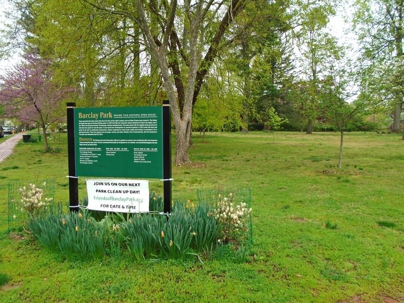
2. Barclay Park and Marker
Credits. This page was last revised on April 27, 2025. It was originally submitted on April 27, 2025, by William Fischer, Jr. of Reynoldsburg, Ohio. This page has been viewed 202 times since then and 48 times this year. Photos: 1, 2. submitted on April 27, 2025, by William Fischer, Jr. of Reynoldsburg, Ohio.
