Phillipsburg Township in Laclede County, Missouri — The American Midwest (Upper Plains)
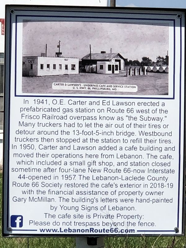
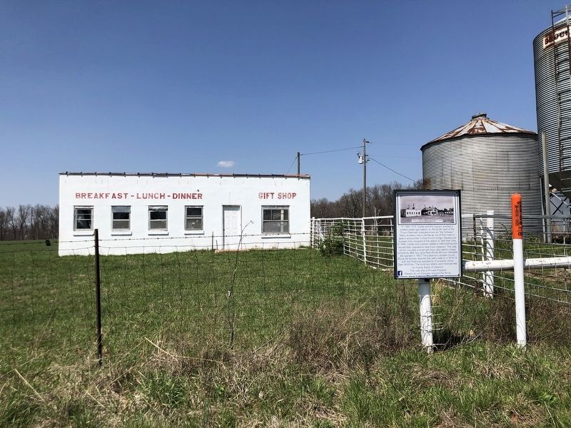
Carter & Lawson's - Underpass Cafe and Service Station
U.S. Hwy. 66, Phillipsburg, MO.
Photographed by Duane and Tracy Marsteller, April 7, 2025
1. Carter & Lawson's Underpass Cafe and Service Station Marker
Caption: Carter & Lawson's Underpass Cafe and Service Station, U.S. Hwy. 66, Phillipsburg, Mo.
Erected by Lebanon-Laclede County Route 66 Society.
Topics and series. This historical marker is listed in these topic lists: Bridges & Viaducts • Industry & Commerce •
this page online
Location. 37° 33.832′ N, 92° 47.132′ W. Marker is near Phillipsburg, Missouri, in Laclede County. It is in Phillipsburg Township. It is on U.S. Route 66 (State Highway W) 0.1 miles west of Monroe Drive, on the right when traveling west. Touch for map. Marker is in this post office area: Phillipsburg MO 65722, United States of America. Touch for directions.

Regionally, this marker is in South-Central Missouri. It is also in the American Ozarks, in the Lewis & Clark Corridor, and in the Corn Belt. Globally, it is in North America, the Western Hemisphere, the Western World, and the Anglosphere. Historically, it finds itself in what was once the territory of the Mississippian Culture, the Louisiana Purchase, and the Antebellum South.
Other nearby markers. At least 8 other markers are within 11 miles of this marker, measured as the crow flies: Wardens Station (approx. 7.8 miles away); Camp Joy (approx. 9.8 miles away); Laclede County (approx. 9.8 miles away); Nelson Family Legacy (approx. 9.8 miles away);
Photographed by Duane and Tracy Marsteller, April 7, 2025
2. Carter & Lawson's Underpass Cafe and Service Station Marker
Credits. This page was last revised on April 28, 2025. It was originally submitted on April 28, 2025, by Duane and Tracy Marsteller of Murfreesboro, Tennessee. This page has been viewed 245 times since then and 71 times this year. Photos: 1, 2. submitted on April 28, 2025, by Duane and Tracy Marsteller of Murfreesboro, Tennessee.
