Marker Logo
THE HISTORICAL
MARKER DATABASE
“Bite-Size Bits of Local, National, and Global History”
Near Moab in Grand County, Utah — The American Mountains (Southwest)
 

Sauropod Tracks
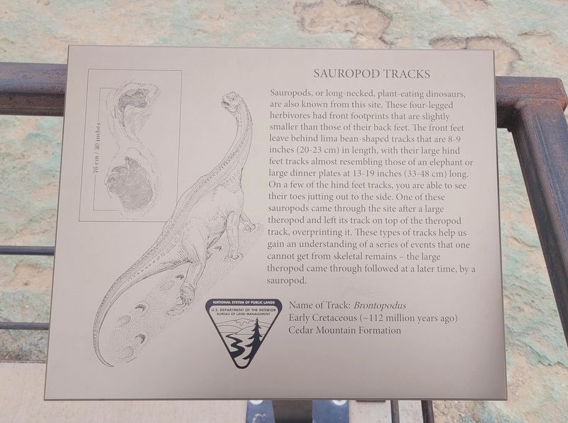
 
 
Sauropod Tracks Marker image. Click for full size.
Photographed by James Hulse, March 31, 2025
1. Sauropod Tracks Marker
Inscription. Sauropods, or long-necked, plant-eating dinosaurs, are also known from this site. These four-legged herbivores had front footprints that are slightly smaller than those of their back feet. The front feet leave behind lima bean-shaped tracks that are 8-9 inches (20-23 cm) in length, with their large hind feet tracks almost resembling those of an elephant or large dinner plates at 13-19 inches (33-48 cm) long. On a few of the hind feet tracks, you are able to see their toes jutting out to the side. One of these sauropods came through the site after a large theropod and left its track on top of the theropod track, overprinting it. These types of tracks help us gain an understanding of a series of events that one cannot get from skeletal remains - the large theropod came through followed at a later time, by a sauropod.

Name of Track: Brontopodus
Early Cretaceous (~112 million years ago)
Cedar Mountain Formation
 
Erected by National System of Public Lands, U.S. Department of the Interior, Bureau of Land Management.
 
Topics. This historical marker is listed in these topic lists: PaleontologyParks & Recreational Areas.
 
Location. 38° 43.372′ N,
Paid Advertisement
Click or scan to see
this page online
109° 44.063′ W. Marker is near Moab, Utah, in Grand County. It is on Cotter Mine Road (County Road BLM 215) 0.2 miles south of Mill Canyon Road, on the right when traveling south. The marker is located at the Mill Canyon Dinosaur Tracksite. Touch for map. Marker is in this post office area: Moab UT 84532, United States of America. Touch for directions.

Regionally, this marker is in Canyon Country. It is also in the American Mountain West, in Colorado Plateau, and at the Four Corners. Globally, it is in North America, the Western Hemisphere, the Western World, and the Anglosphere. Historically, it finds itself in what was once New Spain and also Mexico’s Alta California.

Other nearby markers. At least 8 other markers are within walking distance of this marker: Ornithopod Tracks (here, next to this marker); Algae (here, next to this marker); Sauropods or Ankylosaurs? (a few steps from this marker); Large Theropod Tracks (a few steps from this marker); A spring morning 112 million years ago... (a few steps from this marker); Medium-size Theropod Tracks (a few steps from this marker); Geology (a few steps
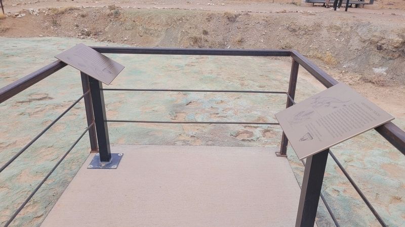
Sauropod Tracks Marker (left marker) image. Click for full size.
Photographed by James Hulse, March 31, 2025
2. Sauropod Tracks Marker (left marker)
from this marker); Dromaeosaur Tracks (a few steps from this marker). Touch for a list and map of all markers in Moab.
 
Additional keywords. Ichnology
 
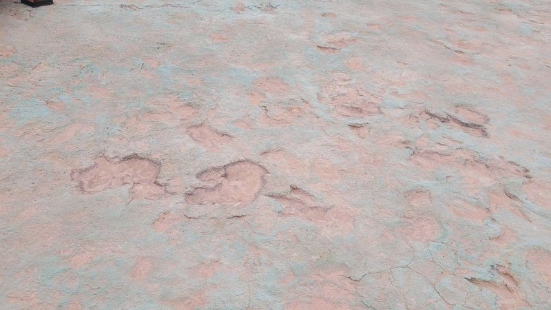
Sauropod Tracks image. Click for full size.
Photographed by James Hulse, March 31, 2025
3. Sauropod Tracks
 
 
Credits. This page was last revised on April 28, 2025. It was originally submitted on April 28, 2025, by James Hulse of Medina, Texas. This page has been viewed 124 times since then and 10 times this year. Photos:   1, 2, 3. submitted on April 28, 2025, by James Hulse of Medina, Texas.

m=271488

CeraNet Cloud Computing sponsors the Historical Marker Database.
This website earns income from purchases you make after using our links to Amazon.com. We appreciate your support.
Paid Advertisement
Aug. 1, 2026