Near Moab in Grand County, Utah — The American Mountains (Southwest)
Geology
Photographed by James Hulse, March 31, 2025
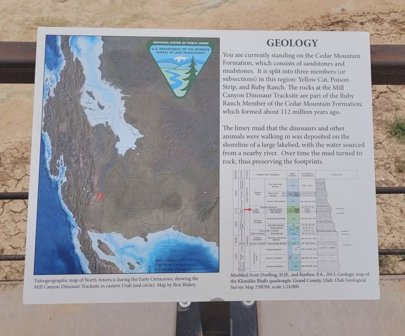
1. Geology Marker
The limey mud that the dinosaurs and other animals were walking in was deposited on the shoreline of a large lakebed, with the water sourced from a nearby river. Over time the mud turned to rock, thus preserving the footprints.
Captions
(Photo #1) Modified from Doelling, H.H., and Kuehne, P.A., 2013, Geologic map of the Klondike Bluffs quadrangle, Grand County, Utah: Utah Geological Survey Map 258DM, scale 1:24,000.
(Photo #2) Paleogeographic map of North America during the Early Cretaceous, showing the Mill Canyon Dinosaur Tracksite in eastern Utah (red circle). Map by Ron Blakey.
Erected by National System of Public Lands, U.S. Department of the Interior, Bureau of Land Management.
Topics. This historical marker is listed in these topic
this page online
Location. 38° 43.379′ N, 109° 44.059′ W. Marker is near Moab, Utah, in Grand County. It is on Cotter Mine Road (County Road BLM 215) 0.2 miles south of Mill Canyon Road, on the right when traveling south. The marker is located at the Mill Canyon Dinosaur Tracksite. Touch for map. Marker is in this post office area: Moab UT 84532, United States of America. Touch for directions.

Regionally, this marker is in Canyon Country. It is also in the American Mountain West, on the Colorado Plateau, and at the Four Corners. Globally, it is in North America, the Western Hemisphere, the Western World, and the Anglosphere. Historically, it finds itself in what was once New Spain and also Mexico’s Alta California.

Other nearby markers. At least 8 other markers are within walking distance of this marker: Sauropods or Ankylosaurs? (a few steps from this marker); Ornithopod Tracks (a few steps from this marker); Algae (a few steps from this marker); Sauropod Tracks (a few steps from this marker); A spring morning 112 million years ago...
Photographed by James Hulse, March 31, 2025
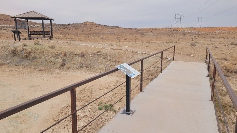
2. The view of the Geology Marker along the trailway
Additional keywords. Ichnology
Credits. This page was last revised on April 28, 2025. It was originally submitted on April 28, 2025, by James Hulse of Medina, Texas. This page has been viewed 121 times since then and 19 times this year. Photos: 1, 2. submitted on April 28, 2025, by James Hulse of Medina, Texas.
