Near Moab in Grand County, Utah — The American Mountains (Southwest)
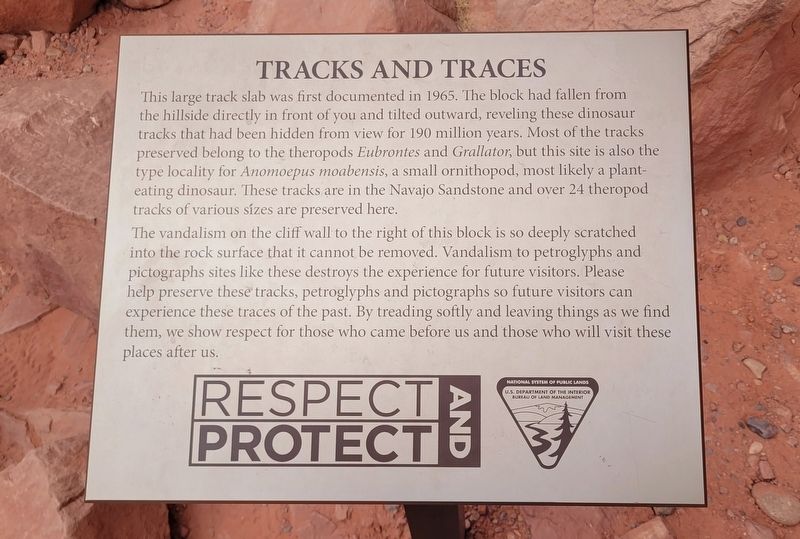
Tracks and Traces
Photographed by James Hulse, March 31, 2025
1. Tracks and Traces Marker
The vandalism on the cliff wall to the right of this block is so deeply scratched into the rock surface that it cannot be removed. Vandalism to petroglyphs and pictographs sites like these destroys the experience for future visitors. Please help preserve these tracks, petroglyphs and pictographs so future visitors can experience these traces of the past. By treading softly and leaving things as we find them, we show respect for those who came before us and those who will visit these places after us.
Erected by U.S. Department of the Interior Bureau of Land Management, Respect and Protect.
Topics.
this page online
Location. 38° 32.027′ N, 109° 36.504′ W. Marker is near Moab, Utah, in Grand County. It is on Potash Road (State Road 279) 5 miles south of U.S. 191, on the right when traveling south. The marker is located at the Potash Road Dinosaur Tracks and Petroglyphs area. It is a short 10 minute hike up the canyon wall to the dinosaur tracks and petroglyphs. Touch for map. Marker is in this post office area: Moab UT 84532, United States of America. Touch for directions.

Regionally, this marker is in Canyon Country. It is also in the American Mountain West, on the Colorado Plateau, and at the Four Corners. Globally, it is in North America, the Western Hemisphere, the Western World, and the Anglosphere. Historically, it finds itself in what was once New Spain and also Mexico’s Alta California.

Other nearby markers. At least 8 other markers are within 4 miles of this marker, measured as the crow flies: Prowling Predators (within shouting distance of this marker); Traces from an Ancient Desert Realm
Photographed by James Hulse, March 31, 2025
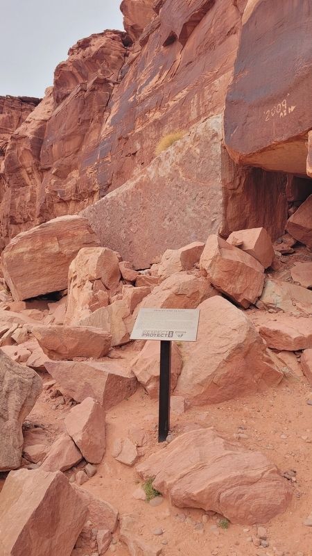
2. The stone of dinosaur tracks and the Tracks and Traces Marker
The modern graffiti can be seen to the right side of the stone slab.
Photographed by James Hulse, March 31, 2025
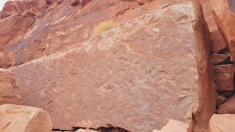
3. The stone with the dinosaur tracks
Photographed by James Hulse, March 31, 2025
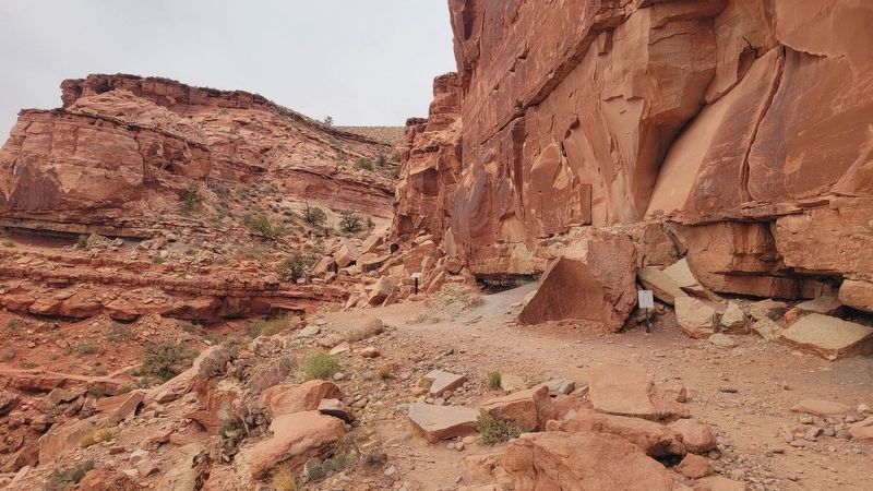
4. The view of the Tracks and Traces Marker along the canyon wall trail
The marker is located in the center of the photograph.
Credits. This page was last revised on April 30, 2025. It was originally submitted on April 29, 2025, by James Hulse of Medina, Texas. This page has been viewed 138 times since then and 25 times this year. Photos: 1, 2, 3, 4. submitted on April 30, 2025, by James Hulse of Medina, Texas.
