Danville, Virginia — The American South (Mid-Atlantic)
The Village of Almagro
September 10, 2020
1. The Village of Almagro Marker
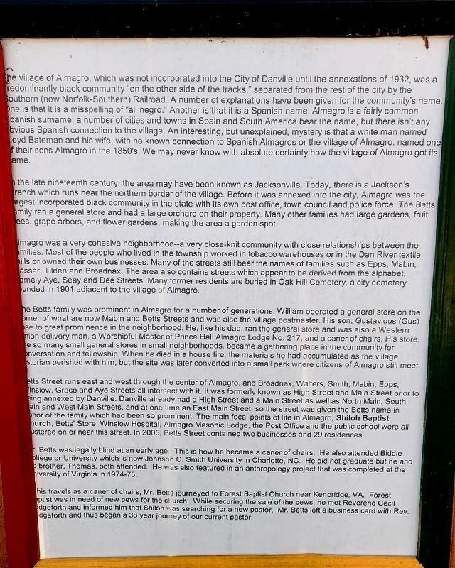
The village of Almagro, which was not incorporated into the City of Danville until the annexations of 1932, was a predominantly black community "on the other side of the tracks," separated from the rest of the city by the Southern (now Norfolk-Southern) Railroad. A number of explanations have been given for the community's name. One is that it is a misspelling of "all negro." Another is that it is a Spanish name. Almagro is a fairly common spanish surname; a number of cities and towns in Spain and South America bear the name, but there isn't any obvious Spanish connection to the village. An interesting, but unexplained, mystery is that a white man named Lloyd Bateman and his wife, with no known connection to Spanish Almagros or the village of Almagro named one of their sons Almagro in the 1850's. We may never know with absolute certainty how the village of Almagro got its name.
In the late nineteenth century, the area may have been known as Jacksonville. Today, there is a Jackson's Branch which runs near the northern border of the village. Before it was annexed into the city, Almagro was the largest incorporated black
this page online
Almagro was a very cohesive neighborhood--a very close-knit community with close relationships between the families. Most of the people who lived in the township worked in tobacco warehouses or in the Dan River textile mills or owned their own businesses. Many of the streets still bear the names of families such as Epps, Mabin, Vassar, Tilden and Broadnax. The area also contains streets which appear to be derived from the alphabet, namely Aye, Seay and Dee Streets. Many former residents are buried in Oak Hill Cemetery, a city cemetery founded in 1901 adjacent to the village of Almagro.
The Betts family was prominent in Almagro for a number of generations. William operated a general store on the corner of what are now Mabin and Betts Streets and was also the village postmaster. His son, Gustavious (Gus) rose to great prominence in the neighborhood. He, like
June 24, 2022
2. The Village of Almagro Marker
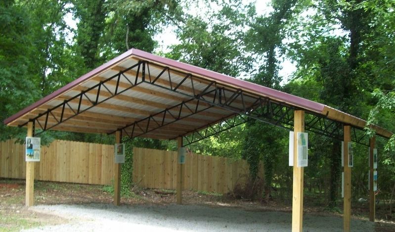
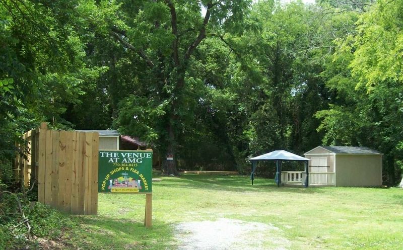
The Marker is one of several outdoor interpretive signs about the history of Almagro located at the Venue.
Betts Street runs east and west through the center of AImagro, and Broadnax, Walters, Smith, Mabin, Epps, Winslow, Grace and Aye Streets all intersect with it. It was formerly known as High Street and Main Street prior to being annexed by Danville. Danville already had a High Street and a Main Street as well as North Main, South Main and West Main Streets, and at one time an East Main Street, so the street was given the Betts name in honor of the family which had been so prominent. The main focal points of life in Almagro, Shiloh Baptist Church, Betts' Store, Winslow Hospital, Almagro Masonic Lodge, the Post Office and the public school were all
June 24, 2022
3. The Venue
Mr. Betts was legally blind at an early age. This is how he became a caner of chairs. He also attended Biddle College or University which is now Johnson C. Smith University in Charlotte, NC. He did not graduate but he and his brother, Thomas, both attended. He was also featured in an anthropology project that was completed at the University of Virginia in 1974-75.
On his travels as a caner of chairs, Mr. Betts journeyed to Forest Baptist Church near Kenbridge, VA. Forest Baptist was in need of new pews for the church. While securing the sale of the pews, he met Reverend Cecil Bridgeforth and informed him that Shiloh was searching for a new pastor. Mr. Betts left a business card with Rev. Bridgeforth and thus began a 38 year journey of our current pastor.
Erected 2020 by Almagro Resource Center.
Topics. This historical marker is listed in these topic lists: African Americans • Industry & Commerce • Religion & Religious Structures • Roads & Vehicles • Settlements & Settlers.
Location. 36° 34.101′ N,
September 10, 2020
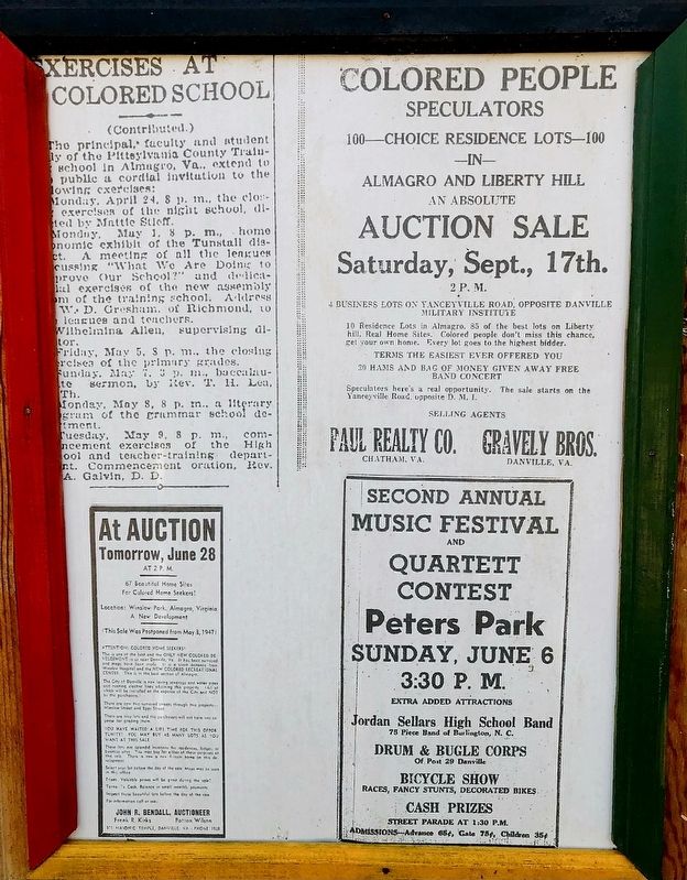
4. Historic Almagro Newspaper
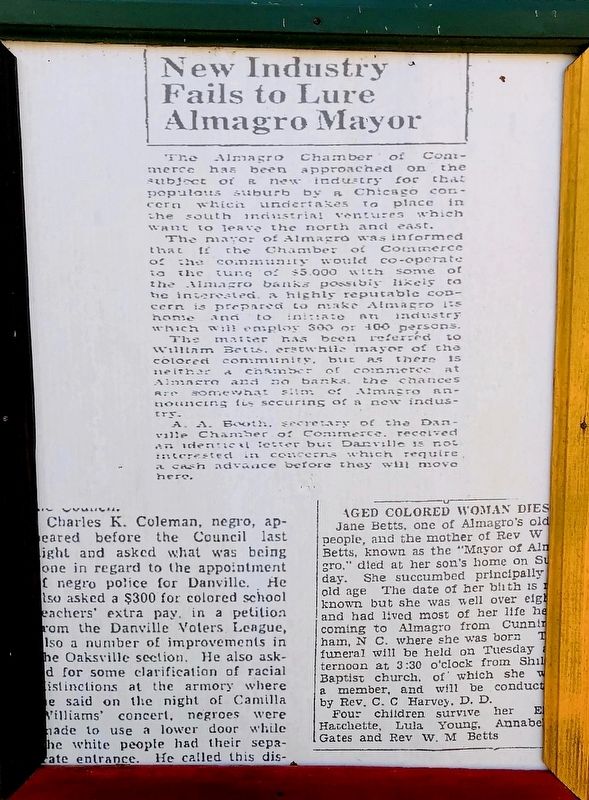
Reproduction located adjacent to the Marker.

Regionally, this marker is in Southside Virginia and specifically in Central Virginia. It is also in the American South and specifically in the Upper South. Globally, it is in North America, the Western Hemisphere, the Western World, and the Anglosphere. Historically, it finds itself in what was once the territory of the Mississippian Culture, one of the original Thirteen Colonies, one of the Confederate States of America, and the Antebellum South.
Other nearby markers. At least 8 other markers are within walking distance of this marker: Moses Smith 1853~1932 (here, next to this marker); Shiloh Baptist Church (here, next to this marker); The main thoroughfare (here, next
September 10, 2020
5. Historic Almagro Newspaper
Reproduction located adjacent to the Marker.
Credits. This page was last revised on July 24, 2025. It was originally submitted on May 1, 2025, by C. Ryan Dodson of Danville, Virginia. This page has been viewed 851 times since then and 290 times this year. Photos: 1, 2, 3, 4, 5. submitted on May 1, 2025, by C. Ryan Dodson of Danville, Virginia. • Bernard Fisher was the editor who published this page.
