Danville, Virginia — The American South (Mid-Atlantic)
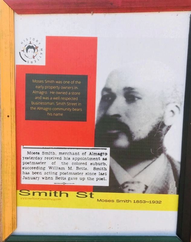
Moses Smith 1853~1932
Moses St
| — | www.ourhistorymatters434.com | — |
September 10, 2020
1. Smith St Marker
Erected 2020 by Almagro Resource Center.
Topics. This historical marker is listed in these topic lists: African Americans • Industry & Commerce • Roads & Vehicles • Settlements & Settlers. A significant historical year for this entry is 1932.
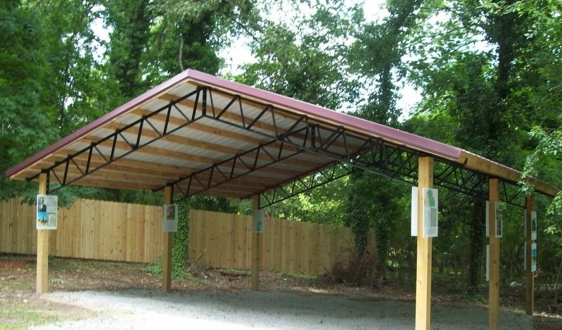
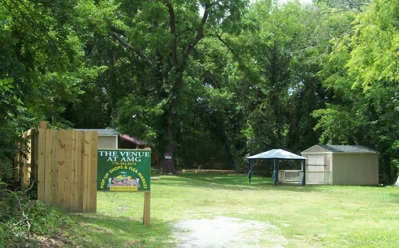
Location. 36° 34.102′ N, 79° 24.064′ W. Marker is in Danville, Virginia. It can be reached from the intersection of Walters Street and Broadnax Street, on the left when traveling north. The Marker is attached to an outdoor shelter located at the Venue, a pop-up flea market located in the historic Almagro Community. Touch for map. Marker is at or near this postal address: 107 Walters Street, Danville VA 24541, United States of America. Touch for directions.

Regionally, this marker is in Southside Virginia and specifically in Central Virginia. It is also in the American South and specifically in the Upper South. Globally, it is in North America, the Western Hemisphere, the Western World, and
this page online
Other nearby markers. At least 8 other markers are within walking distance of this marker: The main thoroughfare (here, next to this marker); The Village of Almagro (here, next to this marker); Shiloh Baptist Church (here, next to this marker); Winslow Hospital (about 500 feet away, measured in a direct line); Peters Park (about 700 feet away); Neathery Lane (approx. 0.3 miles away); Memorial Hospital (approx. 0.7 miles away); Frederick Delius (approx. ¾ mile away). Touch for a list and map of all markers in Danville.
June 24, 2022
2. Smith St Marker
The Marker is one of several outdoor interpretive signs about the history of Almagro located at the Venue.
June 24, 2022
3. The Venue
September 10, 2020
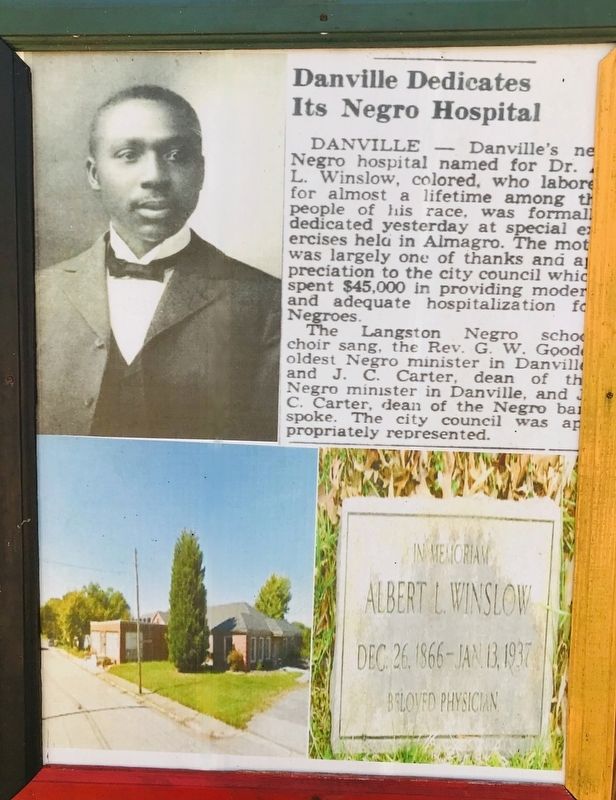
4. Dr. Albert Winslow
Information located adjacent to the Marker.
Credits. This page was last revised on May 7, 2025. It was originally submitted on May 1, 2025, by C. Ryan Dodson of Danville, Virginia. This page has been viewed 178 times since then and 34 times this year. Photos: 1, 2, 3, 4. submitted on May 1, 2025, by C. Ryan Dodson of Danville, Virginia. • Devry Becker Jones was the editor who published this page.
