Collier Township in Rennerdale in Allegheny County, Pennsylvania — The American Northeast (Mid-Atlantic)
The Panhandle Trail
Walkers Mill Station
| — | Collier Township | — |
Photographed by Bradley Owen, April 30, 2025
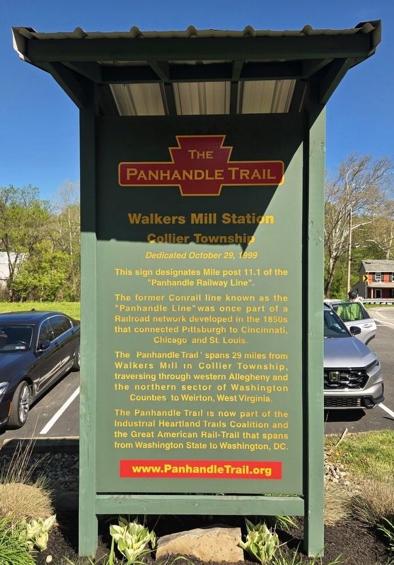
1. The Panhandle Trail Marker
This sign designates Mile post 11.1 of the "Panhandle Railway Line".
The former Conrail line known as the "Panhandle Line" was once part of a Railroad network developed in the 1850s that connected Pittsburgh to Cincinnati, Chicago and St. Louis.
The Panhandle Trail spans 29 miles from Walkers Mill in Collier Township, traversing through western Allegheny and the northern sector of Washington Counties to Weirton, West Virginia.
The Panhandle Trail is now part of the Industrial Heartland Trails Coalition and the Great American Rail-Trail that spans from Washington State to Washington, DC.
www.PanhandleTrail.org
Topics. This historical marker is listed in these topic lists: Parks & Recreational Areas • Railroads & Streetcars. A significant historical date for this entry is October 29, 1999.
Location. 40° 23.76′ N, 80° 7.889′ W. Marker is in Rennerdale, Pennsylvania, in Allegheny County. It is in Collier Township. It is on Walkers Mill Road (County Route 3028) 0.1 miles south of Noblestown Road (County Route 3048), on the right when traveling south. Touch for map. Marker is at or near this
this page online

Regionally, this marker is in Greater Pittsburgh. It is also in the American Northeast, in the Mid-Atlantic, in the Ohio River Valley, in Appalachia, and specifically in Northern Appalachia. Globally, it is in North America, the Western Hemisphere, the Western World, and the Anglosphere. Historically, it finds itself in what was once the Viceroyalty of New France, the Haudenosaunee (Iroquois) Confederacy, and one of the original Thirteen Colonies.
Other nearby markers. At least 8 other markers are within 3 miles of this marker, measured as the crow flies: 105 mm Howitzer (approx. 0.3 miles away); Collier Township Flag and Veterans Memorial (approx. 0.4 miles away); William T. Kerr (approx. half a mile away); Thom's Run World War I Memorial (approx. 1½ miles away); Walker-Ewing Log House (approx. 1.8 miles away); Neville House (approx. 2.2 miles away); Heidelberg Raceway and Sports Arena (approx. 2.2 miles away); Old Saint Luke's Church (approx. 2.3 miles away).
Photographed by Bradley Owen, April 30, 2025
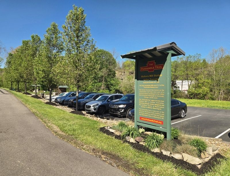
2. The Panhandle Trail Marker
Photographed by Bradley Owen, April 30, 2025
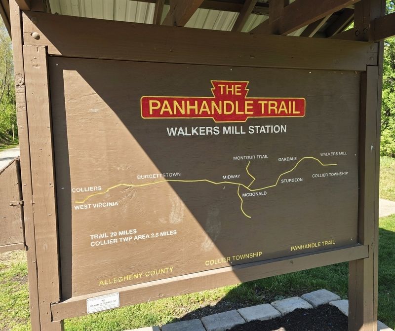
3. Panhandle Trail Map at the Parking Area
Credits. This page was last revised on May 1, 2025. It was originally submitted on May 1, 2025, by Bradley Owen of Morgantown, West Virginia. This page has been viewed 170 times since then and 31 times this year. Photos: 1, 2, 3. submitted on May 1, 2025, by Bradley Owen of Morgantown, West Virginia.
