
Fruita in Wayne County, Utah — The American Mountains (Southwest)
The Giving Groves
Photographed by James Hulse, April 2, 2025
1. The Giving Groves Marker
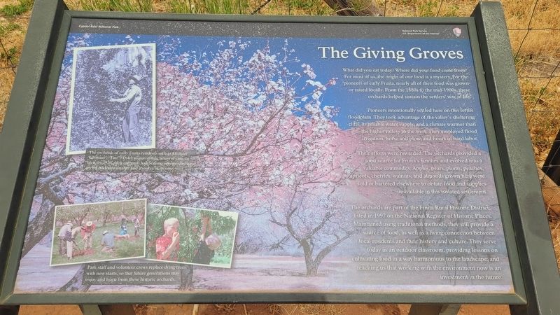
Pioneers intentionally settled here on this fertile floodplain. They took advantage of the valley's sheltering cliffs, its reliable water supply, and a climate warmer than the higher valleys to the west. They employed flood irrigation, horse and plow, and hours of hard labor.
Their efforts were rewarded. The orchards provided a food source for Fruita's families and evolved into a valuable commodity. Apples, pears, plums, peachés, apricots, cherries, walnuts, and almonds grown here were sold or bartered elsewhere to obtain food and supplies unavailable in this isolated settlement.
The orchards are part of the Fruita Rural Historic District, listed in 1997 on the National Register of Historic Places. Maintained using traditional methods, they still provide a source of food, as well as a living connection between local residents and
this page online
Captions
(Photo #1) The orchards of early Fruita residents such as Michael Valentine ("Tine") Oyler required long hours of care. In turn, by 1920 their orchards had become very productive, giving back sustainance and a source of income.
(Photo #2) Park staff and volunteer crews replace dying trees with new starts, so that future generations may enjoy and learn from these historic orchards.
Erected by Capital Reef National Park, National Park Service, U.S. Department of the Interior.
Topics. This historical marker is listed in these topic lists: Agriculture • Industry & Commerce • Settlements & Settlers. A significant historical year for this entry is 1997.
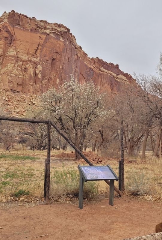
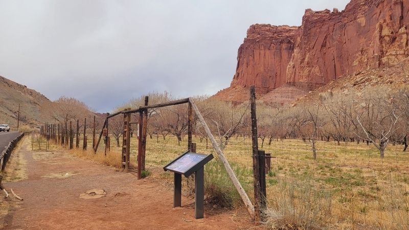
Location. 38° 17.178′ N, 111° 14.849′ W. Marker is in Fruita, Utah, in Wayne County. It is on Scenic Drive 0.9 miles Utah Road 24, on the left when traveling east. The marker is located along the street at a parking area. Touch for map.
Photographed by James Hulse, April 2, 2025
2. The Giving Groves Marker

Regionally, this marker is in Canyon Country. It is also in the American Mountain West, on the Colorado Plateau, and at the Four Corners. Globally, it is in North America, the Western Hemisphere, the Western World, and the Anglosphere. Historically, it finds itself in what was once New Spain and also Mexico’s Alta California.

Other nearby markers. At least 8 other markers are within walking distance of this marker: It's Alive! (within shouting distance of this marker); Silent Sentinels (about 400 feet away, measured in a direct line); A Community's Cornerstone (about 700 feet away); Living Off the Land (approx. 0.2 miles away); Pendleton-Jorgenson-Gifford Barn Story (approx. 0.2 miles away); Signs of a Thriving People (approx. 0.3 miles away); Holt Orchard (approx. 0.3 miles away); Stories in Stone (approx. 0.3 miles away). Touch for a list and map of all markers in Fruita.
Photographed by James Hulse, April 2, 2025
3. The view of the orchard and the Giving Groves Marker along the street
Credits. This page was last revised on May 2, 2025. It was originally submitted on May 1, 2025, by James Hulse of Medina, Texas. This page has been viewed 105 times since then and 11 times this year. Photos: 1, 2, 3. submitted on May 2, 2025, by James Hulse of Medina, Texas.
