Near Fredericksburg in Spotsylvania County, Virginia — The American South (Mid-Atlantic)
Battle of Chancellorsville
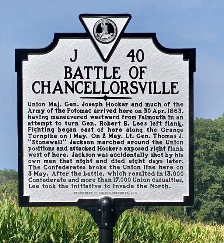
Photographed by Mike McKeown, August 17, 2024
1. Battle of Chancellorsville Marker
Erected 2017 by Department of Historic Resources. (Marker Number J-40.)
Topics and series. This historical marker is listed in this topic list: War, US Civil. In addition, it is included in the Virginia Department of Historic Resources (DHR) series list. A significant historical date for this entry is April 30, 1863.
Location. 38° 18.583′ N, 77° 38.083′ W. Marker is near Fredericksburg, Virginia, in Spotsylvania County. It is on Elys Ford Road (County Route 610) north
this page online

Regionally, this marker is in the Washington Metropolitan Area, in Northern Virginia, and in the Piedmont. It is also in the American South, specifically in the Upper South, in the Mid-Atlantic, and on the Eastern Seaboard. Globally, it is in the North Atlantic Region, North America, the Western Hemisphere, the Western World, and the Anglosphere. Historically, it finds itself in what was once the territory of the Mississippian Culture, one of the original Thirteen Colonies, one of the Confederate States of America, and the Antebellum South.
Other nearby markers. At least 8 other markers are within walking distance of this marker: The Chancellorsville Intersection (within shouting distance of this marker); Climactic Struggle (within shouting distance of this marker); Lee's Greatest Triumph (within
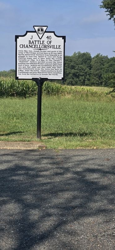
Photographed by Mike McKeown, August 17, 2024
2. Battle of Chancellorsville Marker
Other markers no longer nearby. Battle of Chancellorsville (was a few steps from this marker but has been replaced with another marker now near it); Chancellorsville (was within shouting distance of this marker but has been permanently removed); Chancellorsville Home of Mrs. Sanford Chancellor (was about 400 feet away but has been permanently removed); a different marker also named Battle of Chancellorsville (was about 400 feet away but has been permanently removed).
Related marker. Click here for another marker that is related to this marker. Old Marker At This Location also titled "Battle of Chancellorsville"
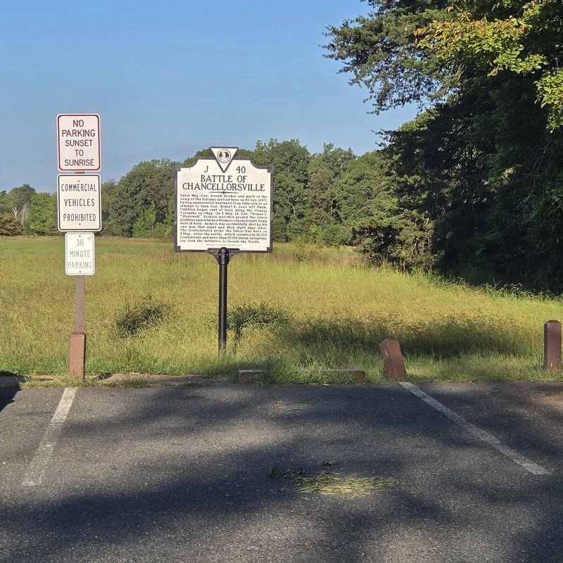
Photographed by Mike McKeown, September 7, 2026
3. Battle of Chancellorsville Marker
Credits. This page was last revised on September 15, 2026. It was originally submitted on May 2, 2025, by Mike McKeown of Baltimore, Maryland. This page has been viewed 237 times since then and 53 times this year. Photos: 1. submitted on May 2, 2025. 2. submitted on May 2, 2025, by Mike McKeown of Baltimore, Maryland. 3. submitted on September 7, 2026, by Mike McKeown of Baltimore, Maryland. • Bernard Fisher was the editor who published this page.
