
New Kent in New Kent County, Virginia — The American South (Mid-Atlantic)
Earliest History of Cumberland Plantation
Photographed by Brandon D Cross
1. Earliest History of Cumberland Plantation Marker
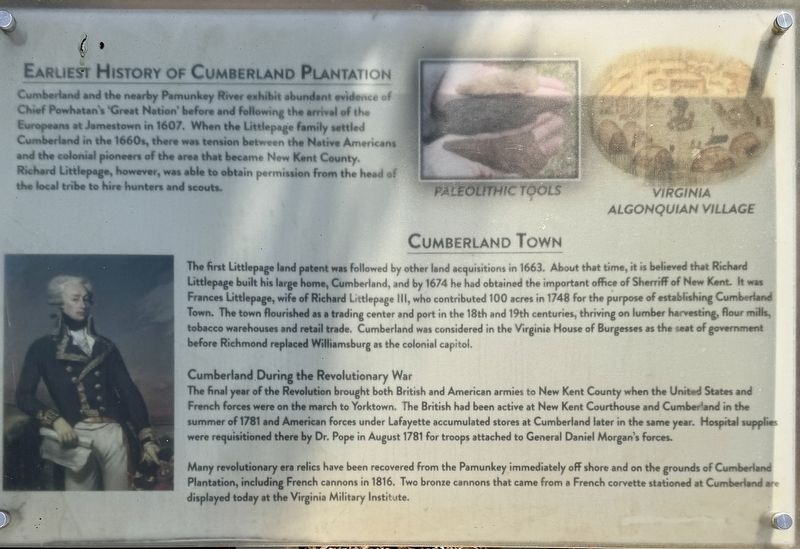
Earliest History of Cumberland Plantation
Cumberland and the nearby Pamunkey River exhibit abundant evidence of Chief Powhatan's 'Great Nation' before and following the arrival of the Europeans at Jamestown in 1607. When the Littlepage family settled Cumberland in the 1660s, there was tension between the Native Americans and the colonial pioneers of the area that became New Kent County. Richard Littlepage, however, was able to obtain permission from the head of the local tribe to hire hunters and scouts.
this page online
Cumberland During the Revolutionary War
The final year of the Revolution brought both British and American armies to New Kent County when the United States and French forces were on the march to Yorktown. The British had been active at New Kent Courthouse and Cumberland in the summer of 1781 and American forces under Lafayette accumulated stores at Cumberland later in the same year. Hospital supplies were requisitioned there by Dr. Pope in August 1781 for troops attached to General Daniel Morgan's forces.
Many revolutionary era relics have been recovered from the Pamunkey immediately off shore and on the grounds of Cumberland Plantation, including French cannons in 1816. Two bronze cannons that came from a French corvette stationed at Cumberland are displayed today at the Virginia Military Institute.
Topics. This historical marker is listed in these topic lists: Architecture • Indigenous Peoples and Communities • Notable Places. A significant historical year for this entry is 1660.
Location. 37° 32.465′ N, 76° 58.754′ W.
Photographed by Brandon D Cross
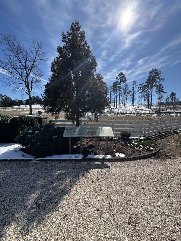
2. Earliest History of Cumberland Plantation Marker (right)

Regionally, this marker is on Virginia’s Peninsula and in Coastal Virginia. It is also in the American South, specifically in the Upper South, in the Tidewater, and on the Eastern Seaboard. Globally, it is in the North Atlantic Region, North America, the Western Hemisphere, the Western World, and the Anglosphere. Historically, it finds itself in what was once the territory of the Mississippian Culture, one of the original Thirteen Colonies, one of the Confederate States of America, and the Antebellum South.
Other nearby markers. At least 8 other markers are within walking distance of this marker: Cumberland House During the Civil War (here, next to this marker); Camp Cumberland (here, next to this marker); Henry Armistead (here, next to this marker); Liberation at Cumberland (a few steps from this marker); A River in View (about 700 feet away, measured in a direct line); Harriet Tubman (about 700 feet away); Cumberland Town (approx. 0.3 miles away); French Cannon at Cumberland Landing (approx. 0.3 miles away). Touch for a list and map of all markers in New Kent.
Also see . . .
1. The Cumberland House. (Submitted on May 2, 2025, by Brandon D Cross of Flagler Beach, Florida.)
2. Cumberland: A Historical Legacy. (Submitted on May 2, 2025, by Brandon D Cross of Flagler Beach, Florida.)
Credits. This page was last revised on May 4, 2025. It was originally submitted on May 2, 2025, by Brandon D Cross of Flagler Beach, Florida. This page has been viewed 454 times since then and 145 times this year. Photos: 1, 2. submitted on May 2, 2025, by Brandon D Cross of Flagler Beach, Florida. • J. J. Prats was the editor who published this page.
