Sudbury in Greater Sudbury, Ontario — Central Canada (North America)
W. J. Bell
Photographed by Cosmos Mariner, June 8, 2024
1. W. J. Bell Marker
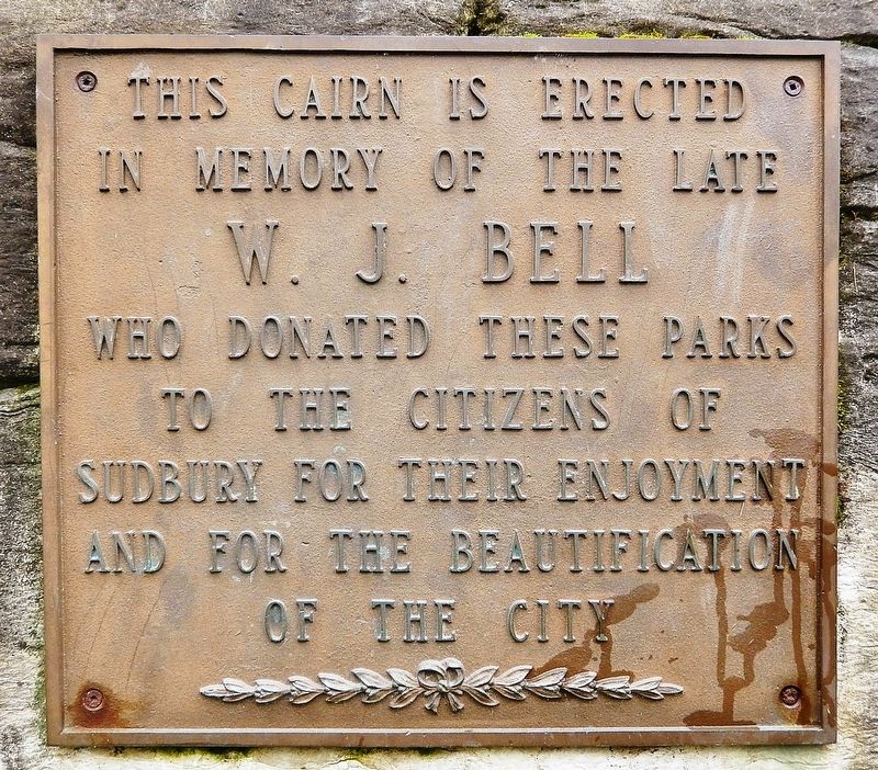
This cairn is erected in memory of the late W. J. Bell who donated these parks to the citizens of Sudbury for their enjoyment and for the beautification of the city
Topics. This historical marker is listed in these topic lists: Charity & Public Work • Parks & Recreational Areas.
Location. 46° 28.832′ N, 80° 59.195′ W. Marker is in Greater Sudbury, Ontario. It is in Sudbury. It can be reached from Elizabeth Street just south of McNaughton Terrace, on the right when traveling south. The marker is located along the walkway on the north side of Bell Park. Touch for map. Marker is at or near this postal address: 530 Facer Street, Greater Sudbury ON P3E 1V6, Canada. Touch for directions.

Regionally, this marker is in Northeastern Ontario and specifically in Northern Ontario. It is also in Central Canada. Globally, it is in North America, the Great North Woods, the Western Hemisphere, the Western World, and the Anglosphere. Historically, it finds itself in what was once a British colony, the Viceroyalty of New France, the Haudenosaunee (Iroquois) Confederacy,
this page online
Other nearby markers. At least 8 other markers are within 3 kilometers of this marker, measured as the crow flies: The Sudbury Basin (a few steps from this marker); The Irish Regiment of Canada (approx. 1.1 kilometers away); The Founding of Sudbury / La fondation de Sudbury (approx. 1.2 kilometers away); Austin Airways 1934-1987 (approx. 1.2 kilometers away); Sainte-Anne-des-Pins (approx. 1.6 kilometers away); Laurentian University of Sudbury / Université Laurentienne de Sudbury (approx. 1.8 kilometers away); The Franco-Ontarian Flag / Le drapeau franco-ontarien (approx. 2.2 kilometers away); Sacred Heart College / Collège du Sacré-Coeur (approx. 2.3 kilometers away). Touch for a list and map of all markers in Greater Sudbury.
Also see . . .
1. Bell Park (Wikipedia).
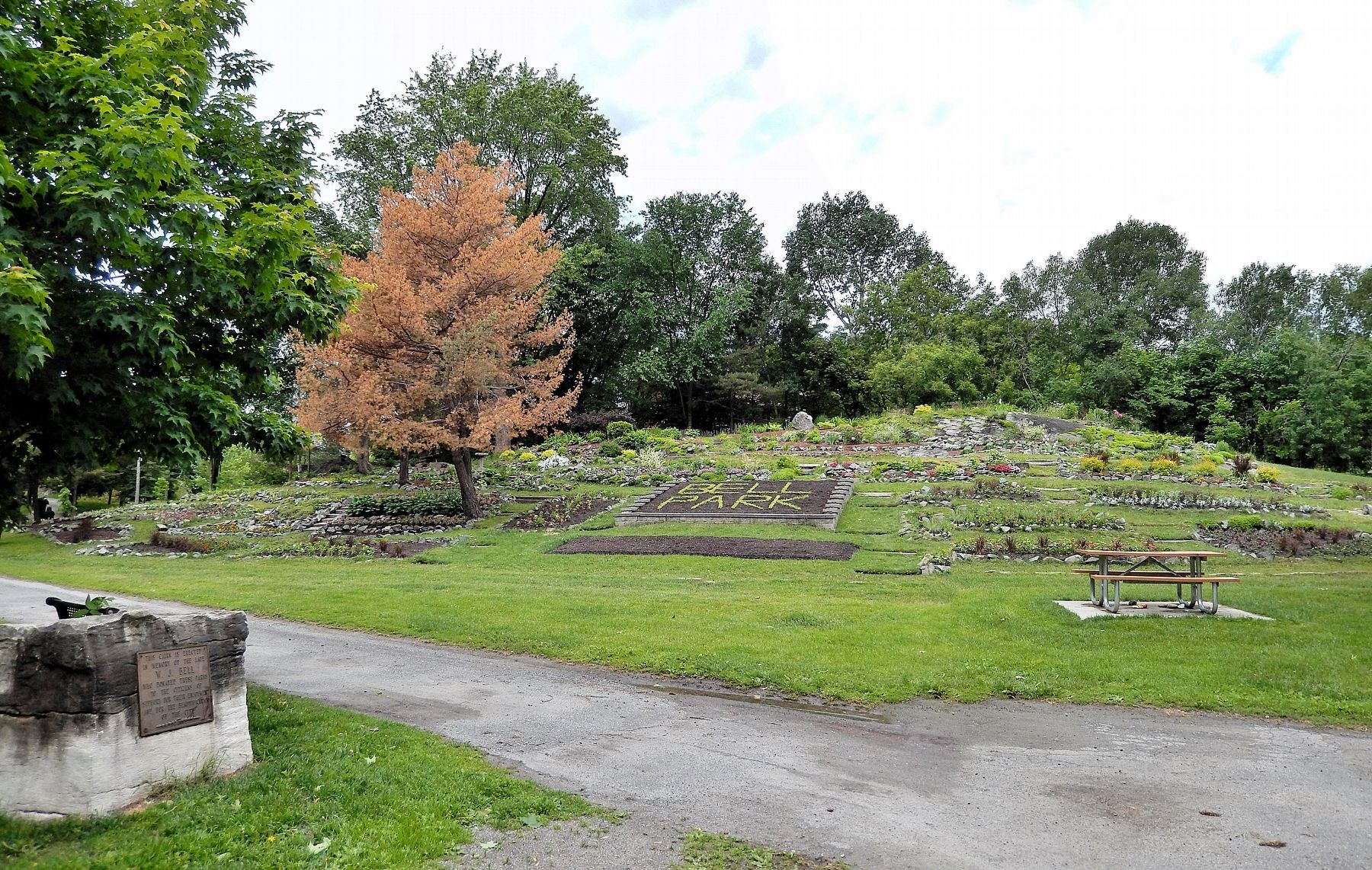
Excerpt: The park is named for William J. Bell, an early lumber baron in the city whose former Belrock mansion is also the site of the Art Gallery of Sudbury. The park site is part of his estate land, donated to the city by him upon his death. Two former mayors of the city are also honoured in the park grounds: the park's amphitheatre is(Submitted on May 5, 2025, by Cosmos Mariner of Cape Canaveral, Florida.)named for Grace Hartman, and a boardwalk connecting the park to the nearby Science North site along the Ramsey Lake shoreline is named in honour of Jim Gordon.Photographed by Cosmos Mariner, June 8, 20242. W. J. Bell MarkerThe marker and cairn are on the left; the Bell Park flower garden is in the background.
2. William and Katherine Bell.
Excerpt: William Joseph Bell was born on July 29, 1858 in Pembroke, Ontario. He worked as a lumberman from 1876 until 1896 before moving to Sudbury with his wife, Katherine.(Submitted on May 5, 2025, by Cosmos Mariner of Cape Canaveral, Florida.)
In 1924, William purchased controlling interest in the Spanish River Lumber Company, establishing operations along Lake Wanapitei. The company existed until approximately 1930 when all of the operations shut down in the area due to the Depression. Bell stayed on as president of the Spanish River Lumber Company until 1942. Bell was an active member of the Sudbury Hockey Club and was president of Cochrane-Dunlop Hardware Ltd. in Sudbury. He also served as secretary-treasurer for St. Andrew's United Church in Sudbury and was a dedicated parishioner.
William Bell died on January 12, 1945 in Sudbury at the age of 87. Previous to his death, Bell had donated a large lot of land to the Sudbury community. It was named Bell Park in his honour. His wife, Katherine died on January 8, 1954 at 91 years of age. Both William and Katherine are buried in Pembroke, Ontario.
Credits. This page was last revised on May 5, 2025. It was originally submitted on May 3, 2025, by Cosmos Mariner of Cape Canaveral, Florida. This page has been viewed 565 times since then and 172 times this year. Photos: 1, 2. submitted on May 4, 2025, by Cosmos Mariner of Cape Canaveral, Florida.
