
Near McConnells in York County, South Carolina — The American South (South Atlantic)
Enslaved Ancestral Burial Ground
Photographed by Mark Parker, May 3, 2025
1. Enslaved Ancestral Burial Ground Marker
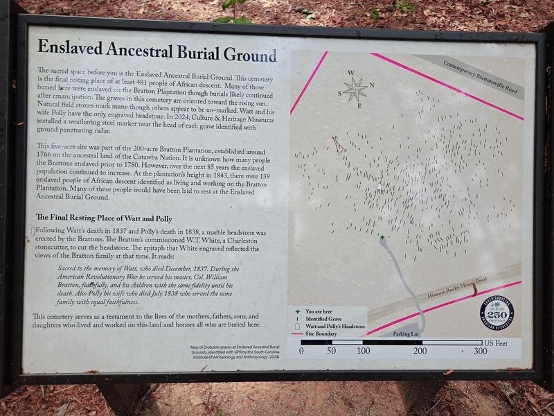
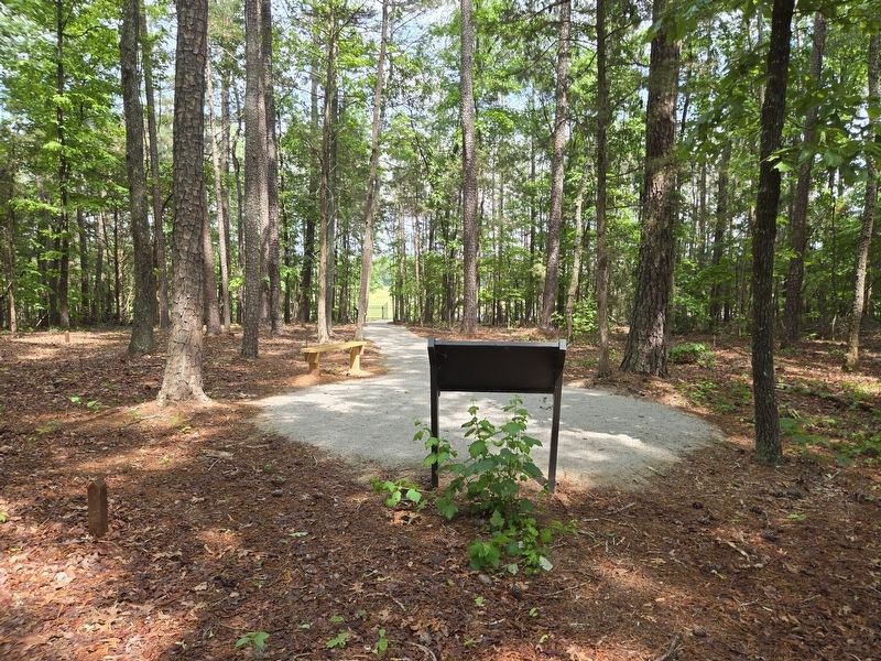
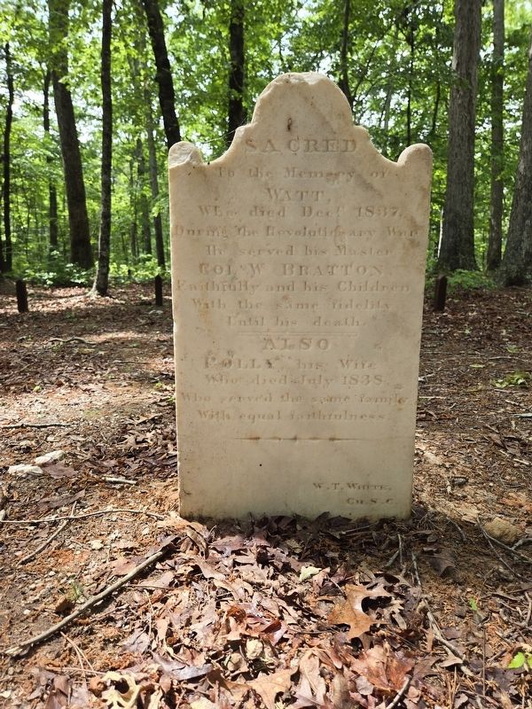
The sacred space before you is the Enslaved Ancestral Burial Ground. This cemetery is the final resting place of at least 481 people of African descent. Many of those buried here were enslaved on the Bratton Plantation though burials likely continued after emancipation. The graves in this cemetery are oriented toward the rising sun. Natural field stones mark many though others appear to be un-marked. Watt and his wife Polly have the only engraved headstone. In 2024, Culture & Heritage Museums installed a weathering steel marker near the head of each grave identified with ground penetrating radar.
This five-acre site was part of the 200-acre Bratton Plantation, established around 1766 on the ancestral land of the Catawba Nation. It is unknown how many people the Brattons enslaved prior to 1780. However, over the next 85 years the enslaved population continued to increase. At the plantation's height in 1843, there were 139 enslaved people of African descent identified as living and working on the Bratton Plantation. Many of these people would have been laid to rest at the Enslaved Ancestral Burial Ground.
The Final Resting Place of Watt and Polly
Following
this page online
Sacred to the memory of Watt, who died December, 1837. During the American Revolutionary War he served his master, Col. William Bratton, faithfully, and his children with the same fidelity until his death. Also Polly his wife who died July 1838 who served the same family with equal faithfulness.
This cemetery serves as a testament to the lives of the mothers, fathers, sons, and daughters who lived and worked on this land and honors all who are buried here.
(Caption)
Map of probable graves at Enslaved Ancestral Burial Grounds, identified with GPR by the South Carolina Institute of Archaeology and Anthropology (2024)
Erected 2025 by South Carolina American Revolution 250th Anniversary.
Topics. This historical marker is listed in these topic lists: African Americans • Cemeteries & Burial Sites. A significant historical year for this entry is 1766.
Location. 34° 51.608′ N,
Photographed by Mark Parker, May 3, 2025
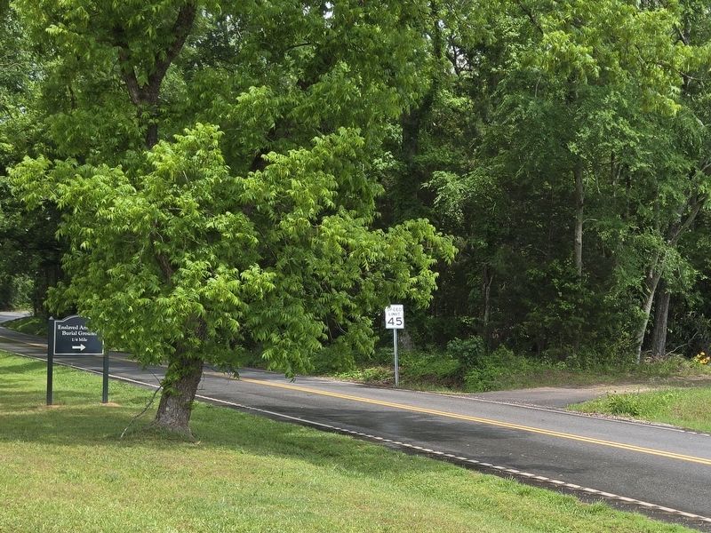
2. Enslaved Ancestral Burial Ground sign (left) and pathway entrance
Location is on Percival Road just east of Brattonsville Road

Regionally, this marker is in the Midlands and in the Olde English District. It is also in the American South and specifically in the Deep South. Globally, it is in North America, the Western Hemisphere, the Western World, and the Anglosphere. Historically, it finds itself in what was once the original Cherokee Nation, the territory of the Mississippian Culture, one of the original Thirteen Colonies, one of the Confederate States of America, and the Antebellum South.
Other nearby markers. At least 8 other markers are
Photographed by Mark Parker, May 3, 2025
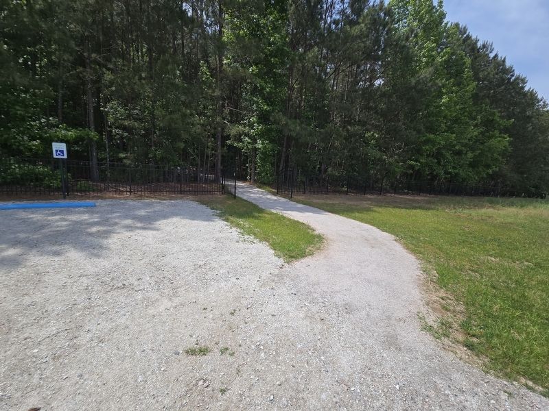
3. Path from parking lot to Enslaved Ancestral Burial Ground Marker
Walk to the marker and burial ground is a short distance from the parking lot.
Other markers no longer nearby. The Homestead (was approx. 0.3 miles away but has been replaced with another marker now near it); Brick Kitchen (was approx. 0.4 miles away but has been replaced with another marker now near it); The Battle of Huck’s Defeat (was approx. 0.4 miles away but has been replaced with another marker now near it).
More about this marker. The marker and burial ground is a part of the Historic Brattonsville site.
Photographed by Mark Parker, May 3, 2025
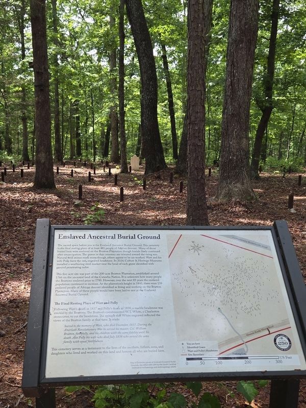
4. Enslaved Ancestral Burial Ground Marker and grave markers
White stone of Watt and Polly straight ahead in the distance
Photographed by Mark Parker, May 3, 2025
5. Reverse side of Enslaved Ancestral Burial Ground Marker look towards path
Photographed by Mark Parker, May 3, 2025
6. Gravestone of Watt and Polly
Credits. This page was last revised on July 20, 2025. It was originally submitted on May 4, 2025, by Mark Parker of Hickory, North Carolina. This page has been viewed 229 times since then and 21 times this year. Photos: 1, 2, 3, 4, 5, 6. submitted on May 4, 2025, by Mark Parker of Hickory, North Carolina. • Devry Becker Jones was the editor who published this page.
