Near Coolidge in Pinal County, Arizona — The American Mountains (Southwest)
Stephen Tyng Mather
July 4, 1867 — Jan. 22, 1930
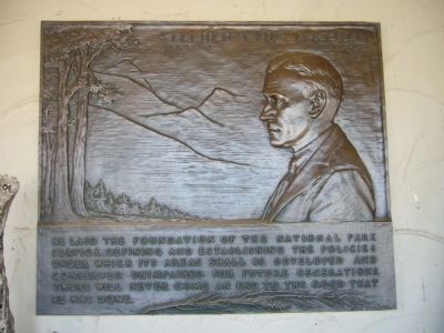
Photographed by Bill Kirchner, February 4, 2010
1. Stephen Tyng Mather Marker
Erected by National Park Service, U.S. Department of the Interior.
Topics and series. This historical marker is listed in this topic list: Parks & Recreational Areas. In addition, it is included in the Stephen Tyng Mather series list.
Location. 32° 59.695′ N, 111° 32.207′ W. Marker is near Coolidge, Arizona, in Pinal County. It can be reached from West Ruins Drive. Marker is at the visitor center at Casa Grande Ruins National Monument. Touch for map. Marker is at or near this postal address: 1100 West Ruins Drive, Coolidge AZ 85128, United States of America. Touch for directions.

Regionally, this marker is in the Sonoran Desert, in the Phoenix Metropolitan Area, in the San Carlos Apache Nation, and specifically in the Tohono O’odham Nation. It is also in the American Southwest. Globally, it is in North America, the Western
this page online
Other nearby markers. At least 8 other markers are within 9 miles of this marker, measured as the crow flies: Disrespected, Then Protected (about 300 feet away, measured in a direct line); Why Build the Casa Grande? (about 400 feet away); Those Who Are Gone (approx. 0.9 miles away); The Coolidge Woman's Club (approx. 1½ miles away); Ghost Town of Adamsville (approx. 5.4 miles away); Granville H. Oury (approx. 7.7 miles away); Chas. D. Poston (approx. 8½ miles away); George-Brockway House (approx. 8.8 miles away). Touch for a list and map of all markers in Coolidge.
Also see . . . National Park Service – Casa Grande Ruins. The NPS website of the Casa Grande National Historic Park - Location of the marker. (Submitted on February 5, 2010.)
Additional keywords. National Parks
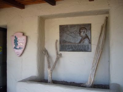
Photographed by Bill Kirchner, February 4, 2010
2. Stephen Tyng Mather Marker
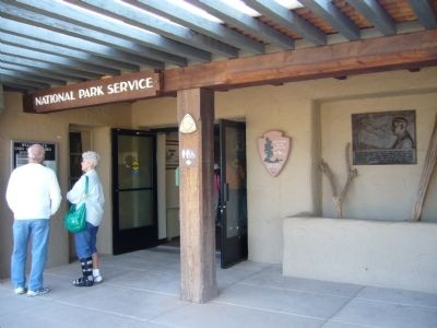
Photographed by Bill Kirchner, February 4, 2010
3. Stephen Tyng Mather Marker
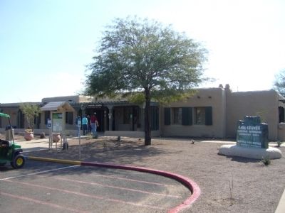
Photographed by Bill Kirchner, February 4, 2010
4. Casa Grande Ruins National Monument visitor center
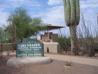
Photographed by Bill Kirchner, July 27, 2010
5. Casa Grande Ruins
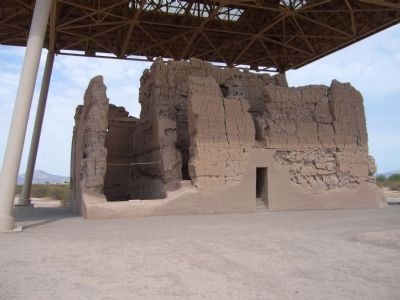
Photographed by Bill Kirchner, July 27, 2010
6. Casa Grande Ruins
Credits. This page was last revised on November 2, 2019. It was originally submitted on February 5, 2010, by Bill Kirchner of Tucson, Arizona. This page has been viewed 1,525 times since then and 23 times this year. Photos: 1, 2, 3, 4. submitted on February 5, 2010, by Bill Kirchner of Tucson, Arizona. 5, 6. submitted on July 28, 2010, by Bill Kirchner of Tucson, Arizona. • Syd Whittle was the editor who published this page.
