Richland in Navarro County, Texas — The American South (West South Central)
Love-Anderson Feud
Photographed by James Hulse, May 5, 2025
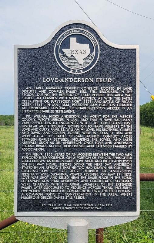
1. Love-Anderson Feud Marker
An early Navarro County conflict, rooted in land disputes and complex family ties, still resonates in the region. During the Republic of Texas period, this area was subject to clashes with native peoples, as with the Battle Creek Fight or Surveyor's Fight (1838) and Battle of Pecan Creek (1841). In Jan. 1844, President Sam Houston granted an empresario contract to Charles Fenton Mercer in an effort to stabilize settlement.
Dr. William Nicks Anderson, an agent for the Mercer Colony, wrote Mercer in Jan. 1847 that "I have had many vary difficulties to encounter with - the old Texians have given me much trouble," going on to name members of the Love and Curry families. William M. Love, his brothers, Gilbert and David, and cousin, Robert, were in Texas by 1836 and were all at the Battle of San Jacinto. Conflict arose between earlier settlers, including the Loves, and later arrivals, such as Dr. Anderson, once Love and Anderson became rivals, so did their friends and extended families by association.
On Feb. 9, 1855, years of animosities between the two men exploded into violence. On a portion of the Old Springfield Road known as Nubbin Lane, Love shot and killed Anderson on his way home. Before dying the next day, Anderson stated in an affidavit that he too had drawn his gun, thus clearing Love of first degree murder. But Anderson's pregnant wife, Susanna, vowed revenge. On May 19, 1873, Love was shot and killed near the same place in the road; Susanna's son Ham Anderson and cousin Alec Barekman were charged with the crime. Members of the extended family later succumbed to violence across Texas, including five young men killed in Comanche in 1874. The feud remains a common topic of conversation in the area, where numerous descendants still reside.
Erected 2011
this page online
Topics. This historical marker is listed in these topic lists: Law Enforcement • Settlements & Settlers. A significant historical date for this entry is May 19, 1873.
Location. 31° 55.329′ N, 96° 26.954′ W. Marker is in Richland, Texas, in Navarro County. It is at the intersection of Southwest CR-0030 and Farm to Market Road 1394, on the left when traveling north on Southwest CR-0030. The marker is located along the road. Touch for map. Marker is in this post office area: Richland TX 76681, United States of America. Touch for directions.

Regionally, this marker is in the Prairies & Lakes Region. It is also in the American South. Globally, it is in North America, a Gulf of Mexico state, the Western Hemisphere, the Western World, and the Anglosphere. Historically, it finds itself in what was once New Spain, the Republic of Texas, and one of the Confederate States of America.
Other nearby markers. At least 8 other markers are within 8 miles of this marker, measured as the crow flies: First Methodist Church of Richland (approx. 1.4 miles away); Flag Memorial Richland Cemetery
Photographed by James Hulse, May 5, 2025
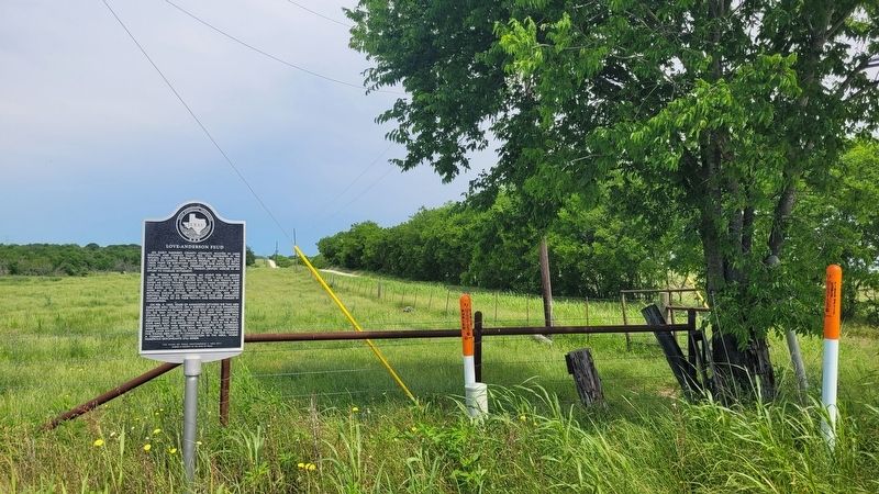
2. Love-Anderson Feud Marker
Photographed by James Hulse, May 5, 2025
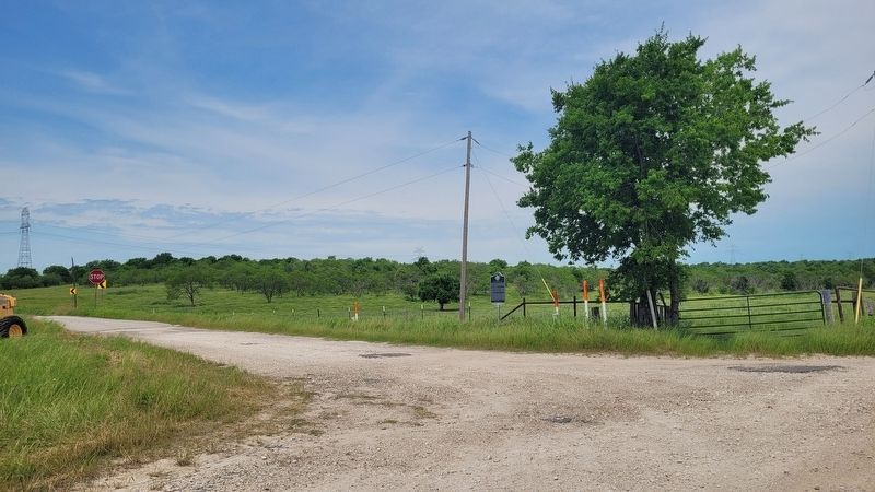
3. The view of the Love-Anderson Feud Marker along the road
Credits. This page was last revised on July 21, 2025. It was originally submitted on May 5, 2025, by James Hulse of Medina, Texas. This page has been viewed 364 times since then and 76 times this year. Photos: 1, 2, 3. submitted on May 7, 2025, by James Hulse of Medina, Texas.
