Hilton Beach in Algoma District, Ontario — Central Canada (North America)
Tenby Bay
Photographed by Cosmos Mariner, June 10, 2024
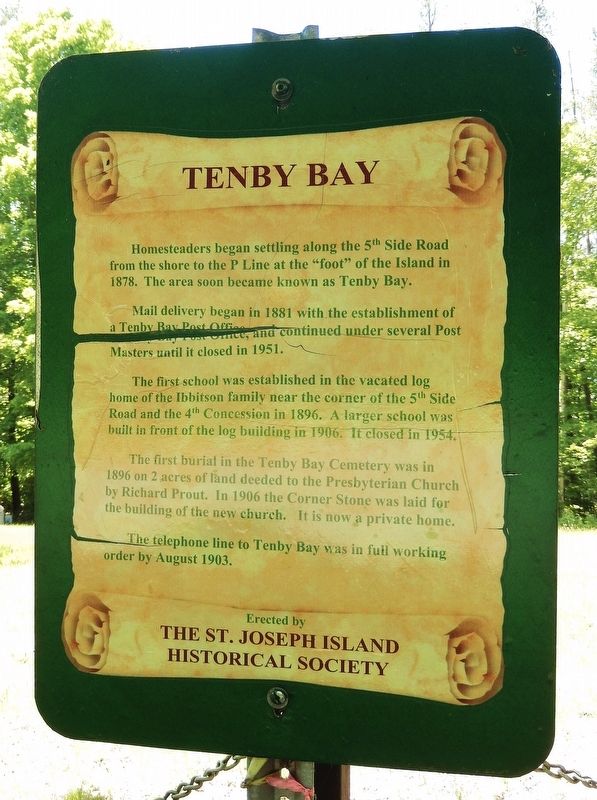
1. Tenby Bay Marker
Homesteaders began settling along the 5th Side Road from the shore to the P Line at the "foot" of the island in 1878. The area soon became known as Tenby Bay.
Mail delivery began in 1881 with the establishment of a Tenby Bay Post Office, and continued under several Post Masters until it closed in 1951.
The first school was established in the vacated log home of the Ibbitson family near the corner of the 5th Side Road and the 4th Concession in 1896. A larger school was built in front of the log building in 1906. It closed in 1954.
The first burial in the Tenby Bay Cemetery was in 1896 on 2 acres of land deeded to the Presbyterian Church by Richard Prout. In 1906 the Corner Stone was laid for the building of the new church. It is now a private home.
The telephone line to Tenby Bay was in full working order by August 1903.
Erected by St. Joseph Island Historical Society.
Topics. This historical marker is listed in these topic lists: Cemeteries & Burial Sites • Communications • Religion & Religious Structures • Settlements & Settlers. A significant historical year for this entry is 1878.
Location. 46° 7.347′ N, 83° 55.152′ W.
this page online

Regionally, this marker is in the Sault Ste. Marie and Algoma Area and in Northern Ontario. It is also in Central Canada. Globally, it is in North America, in the Great North Woods, on the Great Lakes, on Lake Superior’s North Shore, in the Western Hemisphere, in the Western World, and in the Anglosphere. Historically, it finds itself in what was once a British colony, the Viceroyalty of New France, the Haudenosaunee (Iroquois) Confederacy, and Rupert’s Land.
Other nearby markers. At least 8 other markers are within 8 kilometers of this marker, measured as the crow flies: Fort St. Joseph / Le Fort Saint-Joseph (approx. 6.7 kilometers away); Fort St. Joseph (approx. 6.8 kilometers away); Major Intersection/Une intersection importante (approx. 6.9 kilometers away); Inside the Walls/À l'intérieur des remparts
Photographed by Cosmos Mariner, June 10, 2024
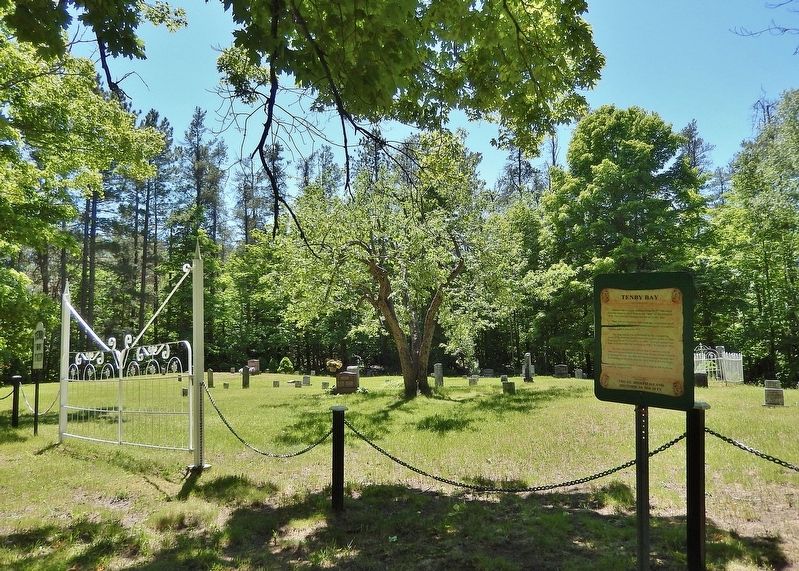
2. Tenby Bay Marker
Tenby Bay Cemetery is in the background.
Photographed by Cosmos Mariner, June 10, 2024
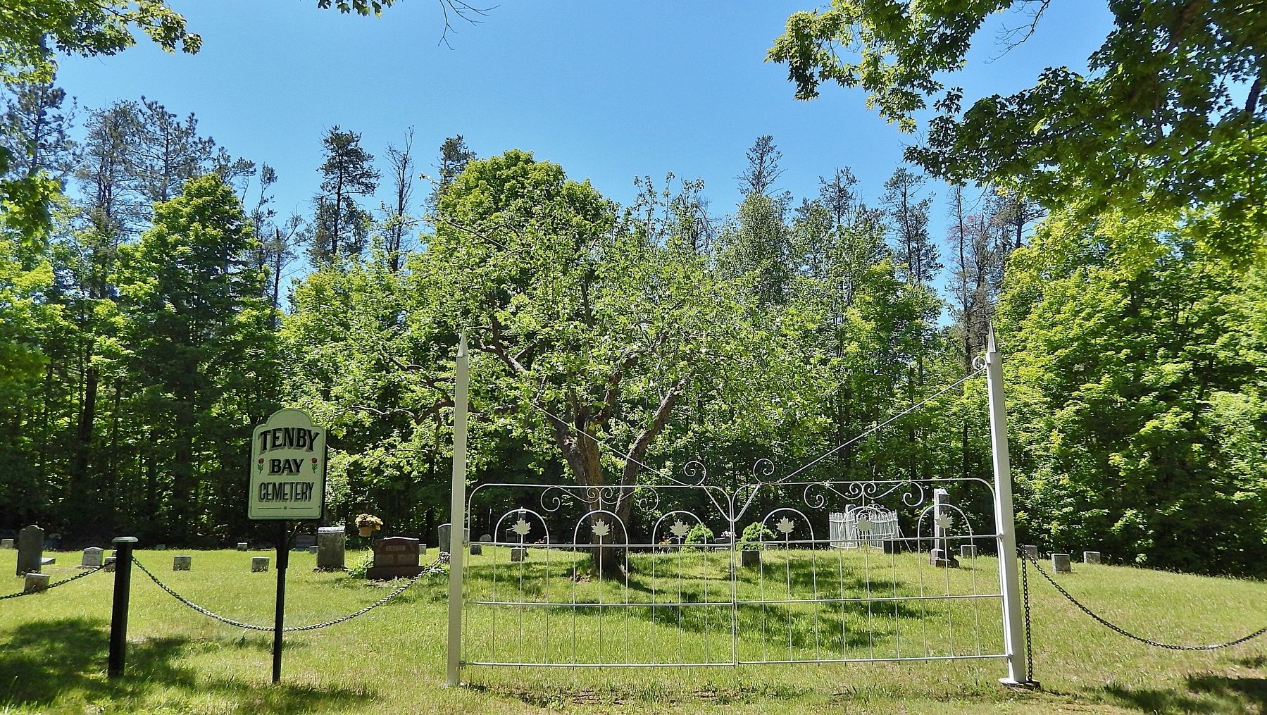
3. Tenby Bay Cemetery
Credits. This page was last revised on May 7, 2025. It was originally submitted on May 6, 2025, by Cosmos Mariner of Cape Canaveral, Florida. This page has been viewed 160 times since then and 34 times this year. Photos: 1. submitted on May 6, 2025, by Cosmos Mariner of Cape Canaveral, Florida. 2, 3. submitted on May 7, 2025, by Cosmos Mariner of Cape Canaveral, Florida.
