
Turlington in Freestone County, Texas — The American South (West South Central)
Mt. Zion Methodist Church and Cemetery
Photographed by James Hulse, May 5, 2025
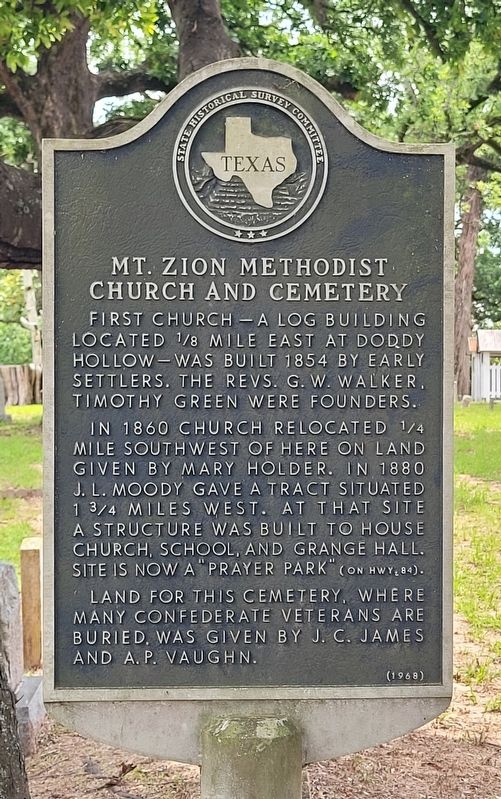
1. Mt. Zion Methodist Church and Cemetery Marker
In 1860 church relocated 1/4 mile southwest of here on land given by Mary Holder. In 1880 J.L. Moody gave a tract situated 1 3/4 miles west. At that site a structure was built to house church, school, and Grange Hall. Site is now a "prayer park" (on Hwy 84).
Land for this cemetery, where many Confederate veterans are buried, was given by J.C. James and A.P. Vaughn.
Erected 1968 by State Historical Survey Committee. (Marker Number 9895.)
Topics. This historical marker is listed in these topic lists: Cemeteries & Burial Sites • Religion & Religious Structures. A significant historical year for this entry is 1854.
Location. 31° 41.35′ N, 96° 3.011′ W. Marker is in Turlington, Texas, in Freestone County. It is on Farm to Market Road 415 0.1 miles south of U.S. 84. The marker is located at the front of the cemetery. Touch for map. Marker is at or near this postal address: 130 Co Rd 415, Fairfield TX 75840, United States of America. Touch for directions.

Regionally, this marker is in the Prairies & Lakes Region. It is also in the American South. Globally, it is in North America, a Gulf of Mexico state, the Western Hemisphere, the Western World, and the Anglosphere. Historically, it finds itself in what was once New Spain, the Republic of Texas, one of the Confederate States of America, and the Antebellum South.
Other nearby markers. At least 8 other markers are within 7 miles of this marker, measured as the crow flies: Antioch Cemetery (approx. 1.3 miles away); Colonel Wm. L. Moody (approx. 6.1 miles away); W.L. Moody Confederate Reunion Grounds (approx. 6.1 miles away); Lewis Corner (approx. 6.2 miles away); Fairfield Female College
this page online
Photographed by James Hulse, May 5, 2025
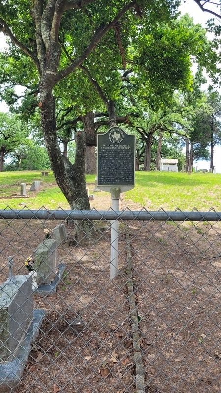
2. Mt. Zion Methodist Church and Cemetery Marker

Photographed by James Hulse, May 5, 2025
3. The entrance to the Mt. Zion Cemetery and Marker
Credits. This page was last revised on May 7, 2025. It was originally submitted on May 6, 2025, by James Hulse of Medina, Texas. This page has been viewed 158 times since then and 34 times this year. Photos: 1, 2, 3. submitted on May 7, 2025, by James Hulse of Medina, Texas.
